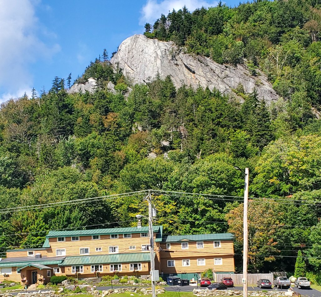
Day 10 – Wednesday Sept 8, Day off in Woodstock, VT
0 miles, very few steps
We hitchhiked from the Inn at Long Trail to Woodstock, VT where our college friends Sean and Scarlett treated us like royalty. Not only did they show us to a very comfortable guest room with a warm bed and a hot shower, they drove us all around town to get supplies, treated us to delicious meals, and best of all – were great company. It was lots of fun catching up on life after many years and meeting their daughters again as young women. Thanks for a wonderful day off, you two!
Day 11 – Thursday Sept 9, David Logan Shelter
13.1 miles, 36,830 steps
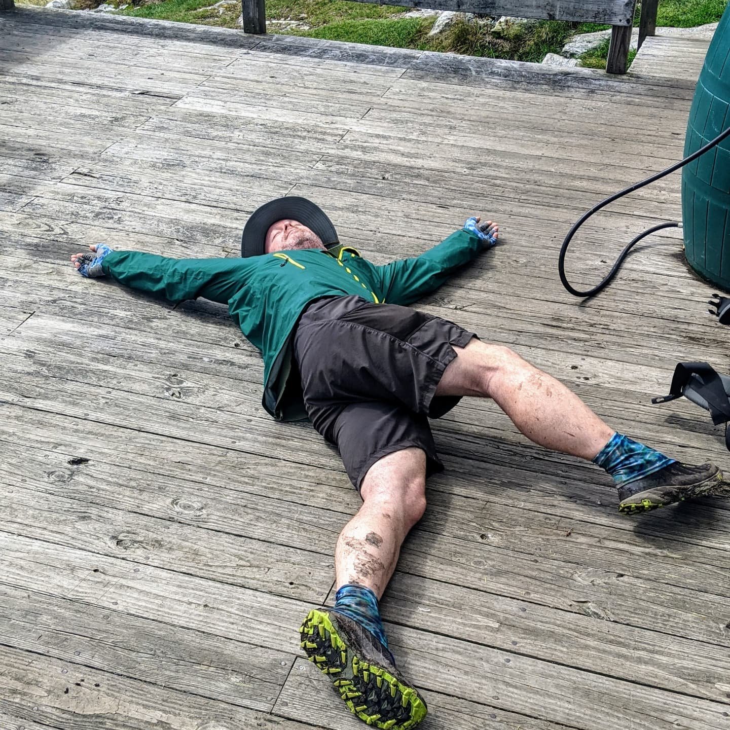
I’m a bit down today. I guess it’s understandable after such a fun day off, then returning to the trail with full, heavy food bags, on a day that looks like rain. Also, I have a touch of tendonitis in my left wrist – it’s swollen and painful, and I can’t use my hiking poles until it clears up. I have to admit, I didn’t realize how much I’ve grown to rely on my poles for balance and rhythm both on uphills and downhills. I knew this trail would be physically hard because I’m not really in shape for this kind of long distance hiking day after day. And I knew it would be mentally challenging to hike through the rain in the autumn cold weather. But I didn’t realize I’d experience so much physical pain. It’s maybe not as much fun as I thought it would be. 🥺

Day 12, Friday Sep 10, Sucker Brook Shelter
13.3 miles, 36,892 steps
Still can’t use my poles. Still a very muddy, technical trail with lots of short, steep climbs. Still swollen wrist. Still cold. But at least it’s not supposed to rain much for the next couple of days.
Day 13, Saturday Sept 11, Cooley Glen Shelter
16.7 miles, 49,700 steps
A sunny day today with good views. Dingle and I decided to take advantage of the sunshine to do a really long day, giving ourselves the chance to make the next day a short one in case the rain returns. One of our trail friends was having a tough time today, so we worked together to get through the miles safely, making it to the shelter just as it got truly dark. Dingle had the tent set up, a cup of tea waiting, and water hot to make dinner. Thank goodness!
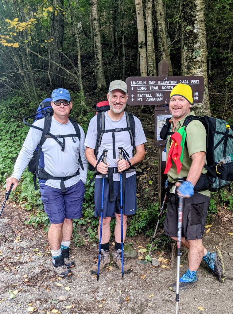
Day 14 – Sunday Sept 12 Battell Shelter
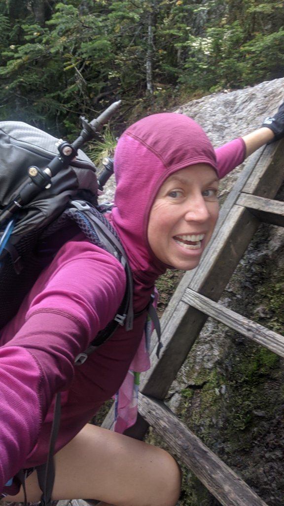
7 miles. Today was fun! Our friends Sean and Kyle met us at the Lincoln Gap road crossing and joined us on the trail overnight! We hiked in two miles from the road to Battell Shelter and spent the evening chatting, catching up, and hanging out with other Long Trail end-to-enders. They even hiked in a couple of Vermont hard ciders as a treat. It was fun getting the chance to introduce “civilians” to backpacking life. Both Sean and Kyle admitted the next morning that they had a really tough time going to bed at 8:30 in the evening, lol. And that they were sure glad they packed ear plugs!
Day 15 – Monday Sept 13, Cowle’s Cove Shelter
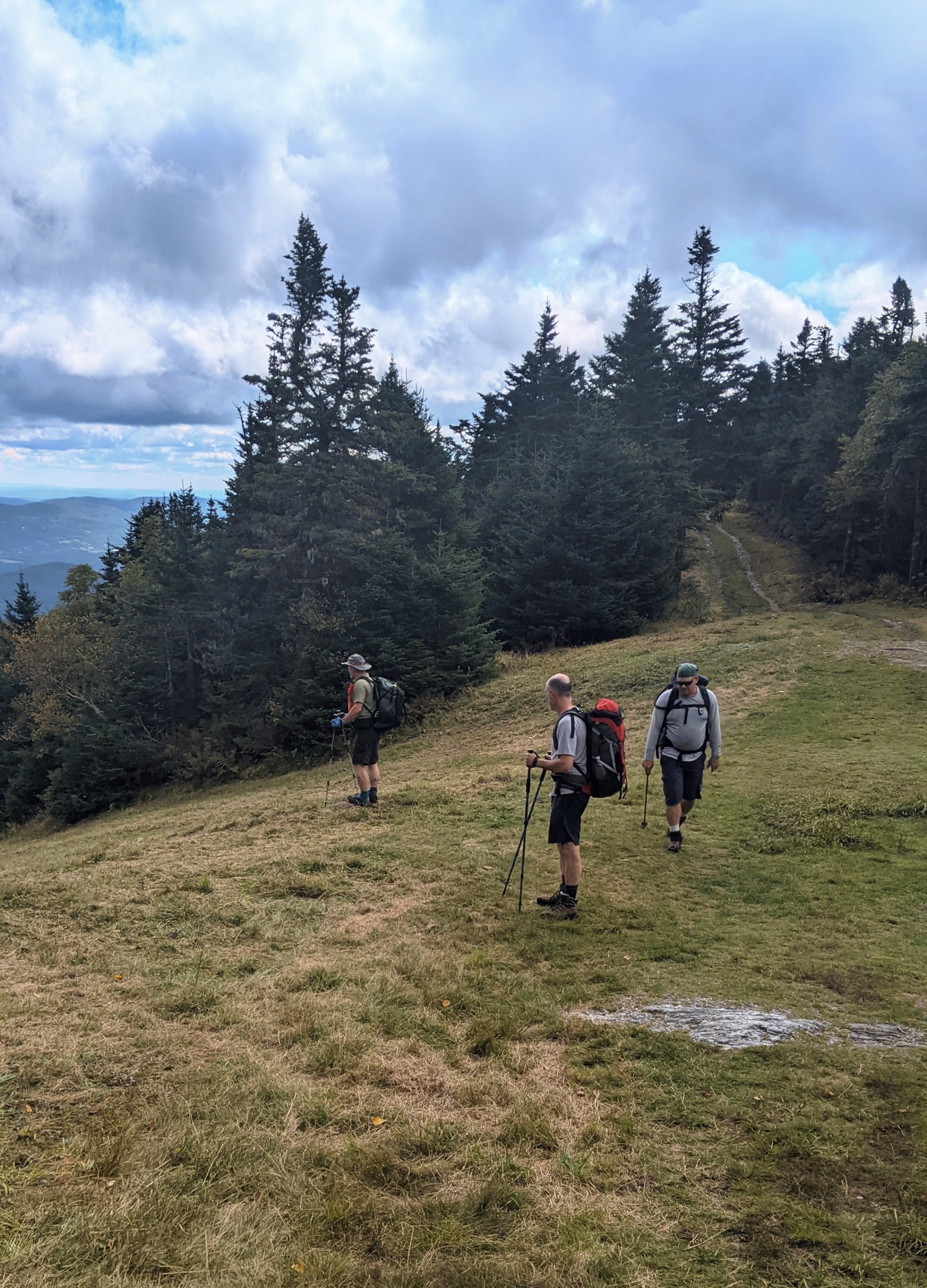
14.6 miles. Sean and Kyle hiked with us for about eight miles today, over the top of Mount Abraham and Mount Ellen (both over 4,000 feet) and through Mad River Glen ski resort. We lucked out and had a gorgeous sunny day to be hiking up high. I think everyone enjoyed the hike and the views, and Dingle, the social butterfly, had hiking and chatting partners all day long. We were a little bit sad to say goodbye to our friends at Appalachian Gap, where they got back in the car to head home to the real world, and we had about another six miles to hike to our shelter for the evening. Dingle and I joked that they were probably saying to each other, “I’m sure glad WE don’t have another six miles to walk today!” as they turned on the heated seats and drove to the nearest burger joint.
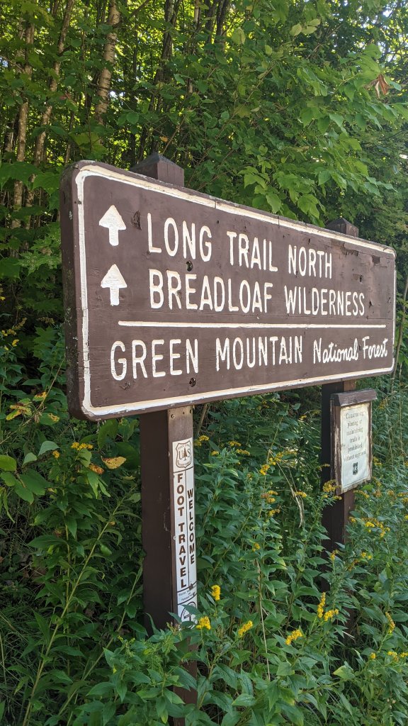
Day 16 – Tuesday Sept 14, US Route 2 Waterbury, VT
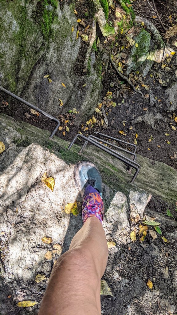
15.6 miles. Holy cow, today was a rough day. We started out a bit tired and sore from yesterday’s elevation change and a poor night’s sleep. And we started right out climbing again. This far north on the Long Trail, it’s not just the elevation gain that gets you – it’s the fact that the trail gets much more rocky, root-y, and technical than in the south. And they don’t believe in switchbacks in Vermont. The trail just goes straight up….and then straight down. We passed a south-bound Long Trail ridge runner (volunteer) and dingle asked “How much longer does the trail stay this messy and difficult?” And he replied, “All the way to the Canadian border.” Thank goodness he was exaggerating (slightly) but that answer sure got stuck in our heads and messed with our mojo for the next few days.
We hiked over Mount Ethan Allen, at ALMOST 4,000 feet, and took a lunch break at Montclair Lodge before starting the long climb up to Camels Hump. Another south-bound hiker named Limerick had told us that he did a five-mile day over Camels Hump and hadn’t considered it a particularly easy day. Yet here we were committing to over 15 miles to get ourselves to the next road crossing and a day off in Waterbury. If it wasn’t for that hotel reservation, we’d have probably have broken this section into two days and spent an extra night on the trail – even if it meant just eating a Kind bar and one Lara bar for dinner. But I had visions of a hot shower and a comfy bed motivating me up and over this beast of a mountain.
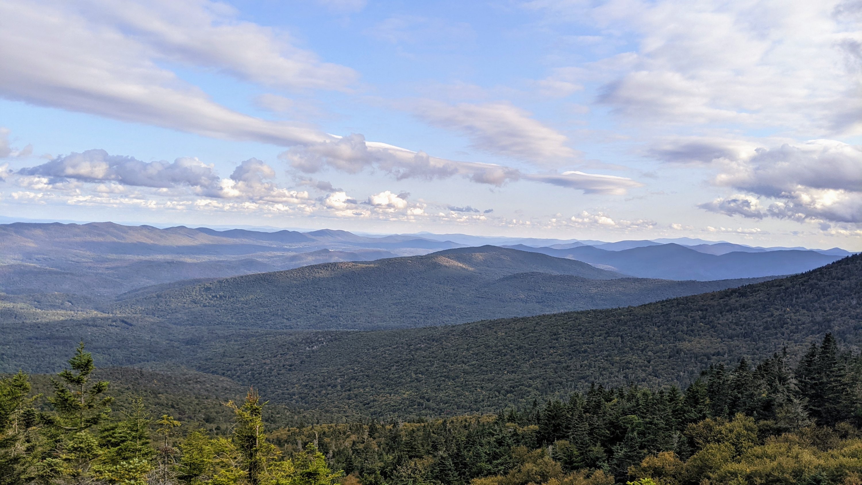
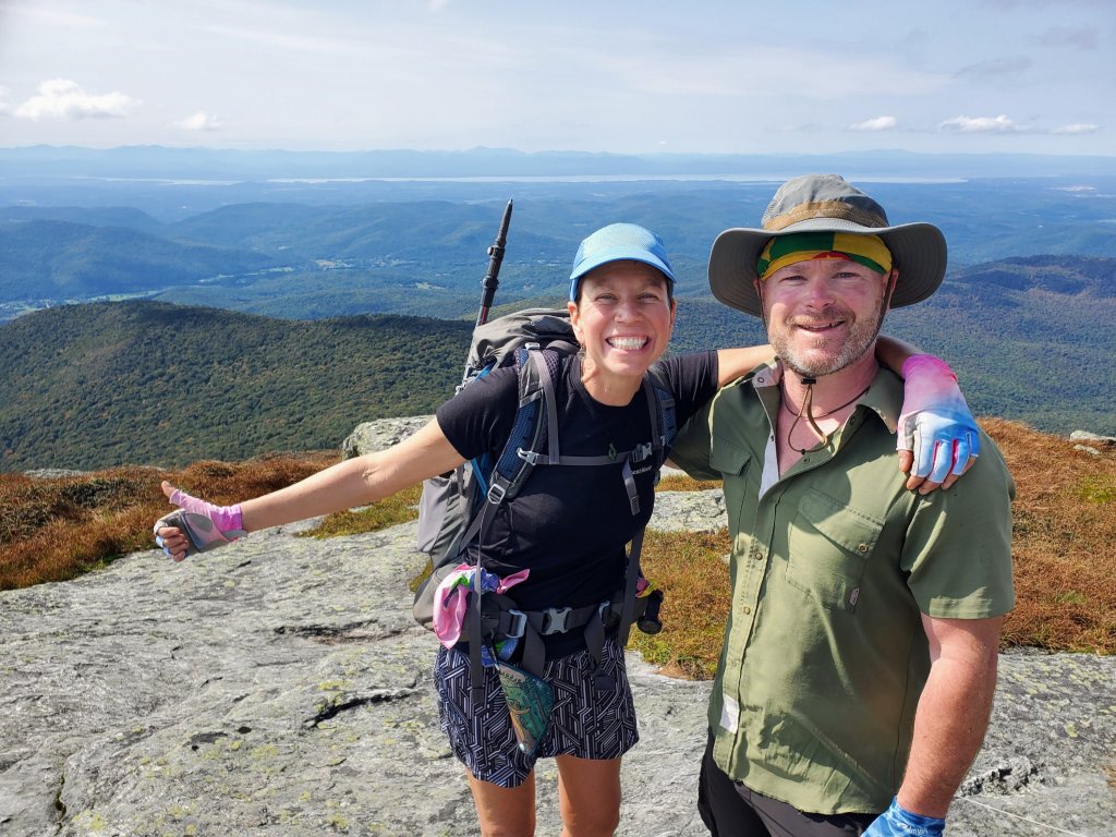
Camels Hump is one of two places where the Long Trail rises above tree line and into the alpine zone. It’s a pretty unique environment for the northeast, with shelves of granite separated by shallow soil and miniature, hardy plants that can somehow manage to survive in this cold and rugged environment. The trail itself simply climbs above, around, and over these rocks, making for some interesting hiking moments, especially for those of us (ahem, Dingle) who are afraid of heights! Once again, we were lucky to have no rain and some pretty good views from the top! But no time to linger because we literally had miles to go before we slept.
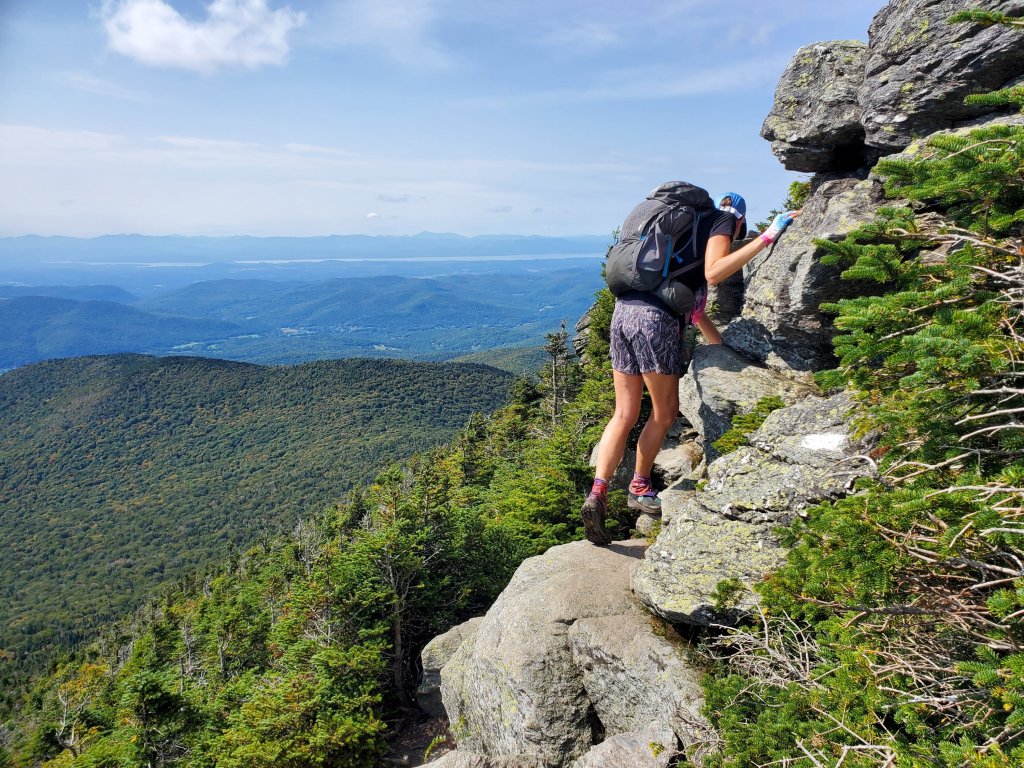
For my old lady knees, hiking down Camels Hump has harder than climbing up. Dingle thinks they intentionally put the Long Trail on the worst route down the mountain: sometimes down a rocky stream bed, sometimes down huge slippery moss-covered rocks, and sometimes down a couple hundred yards of steep exposed tree roots. Is this even a real trail?!? Eventually, we made it to the trailhead right about at sunset, and were lucky enough to to finish at the same time as a lovely woman named Tamara who provided us with some well-needed trail magic and drove us directly to the front door of The Old Stagecoach Inn of Waterbury. I could finally have that magical hot shower I’d been longing for!


You both are amazing! That is not even a trail. Ladders and tree routes and giant rocks, oh no. I love that you two have so much stamina and mental endurance.
I did enjoy following your journey because I love the outdoors and backpacking is very intriguing to me. I could not do what you do, maybe just an overnighter.
LikeLiked by 1 person
The trails in New England are no joke! I think we might have underestimated the difficulty of the Long Trail just a TEENY bit🤣
LikeLike