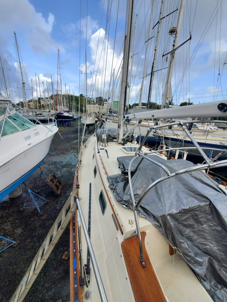
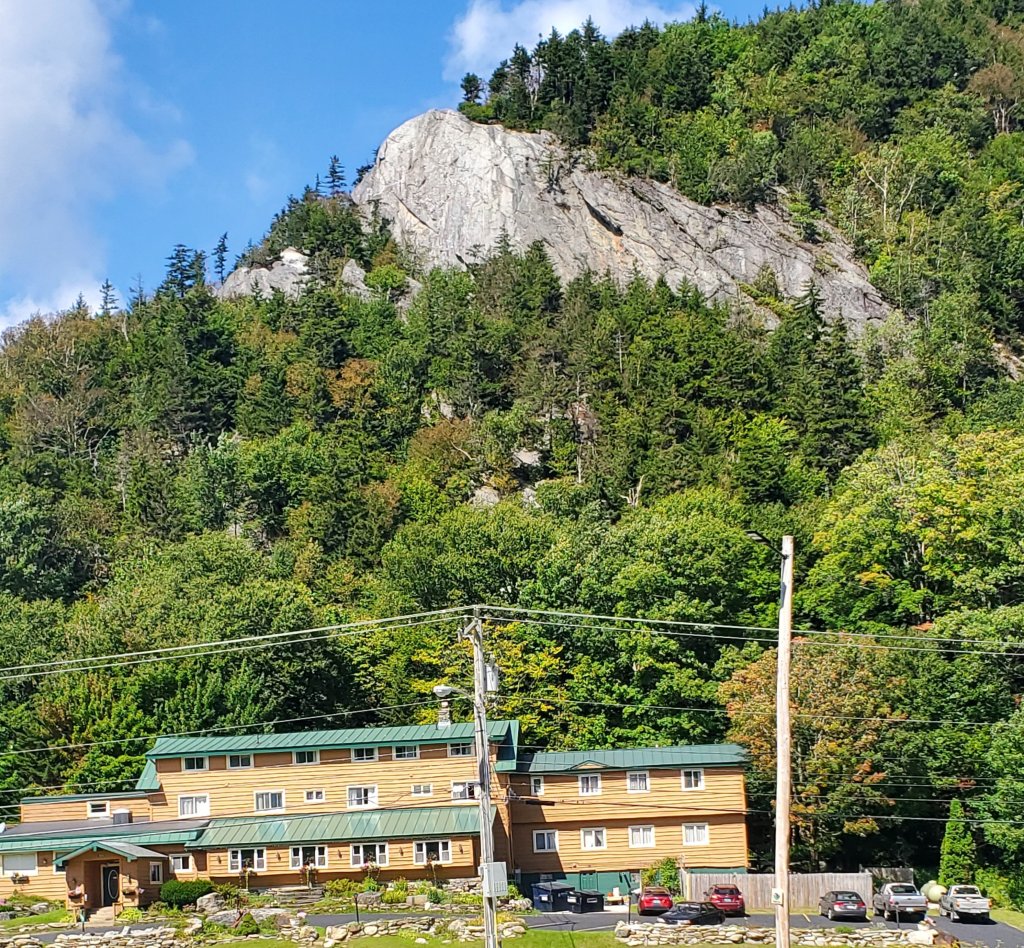
The crew of Sanitas enjoyed another wonderful winter in the Eastern Caribbean, finally visiting the countries of Martinique and Dominica, as well as revisiting old favorites in The Grenadines. But all good things must come to an end, and we’ve once again tucked Sanitas securely into her summer home in Spice Island Maine boat yard. Fingers crossed for a quiet hurricane season!
So what’s in store for us this summer? How can we possibly fill the hours without boat maintenance, watching the weather, and trimming the sails?
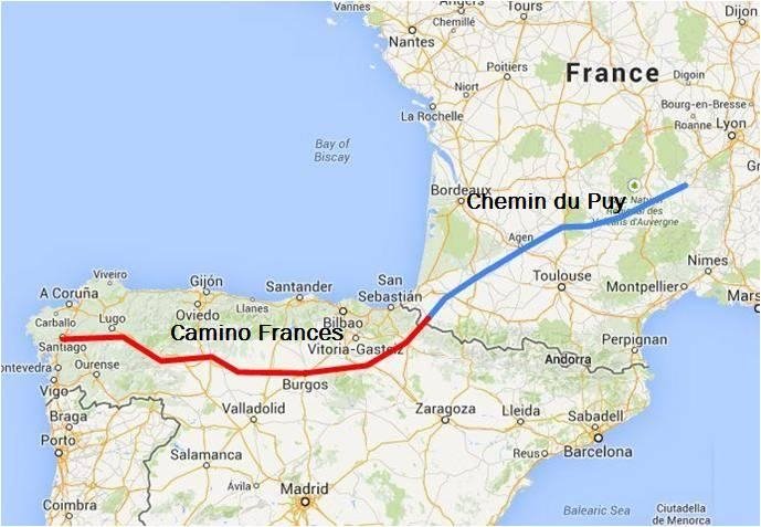
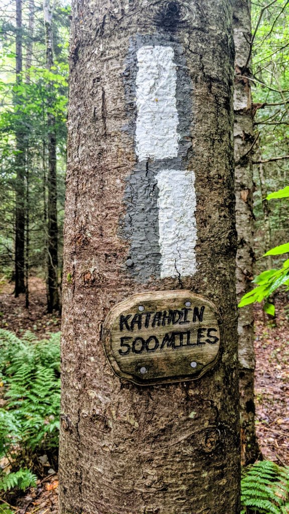
Well, we are once again trading sea life for land legs and traveling to France to walk the Chemin de Compostelle from Le Puy-en-Velay (France) to Santiago de Compostela (Spain). All together, it will be about 1000 miles 😲
Our walk will follow a medieval pilgrimage route through some of the most beautiful villages in France, across the Pyrenees, and eventually (if our feet hold out) to Santiago. Here, according to legend, the remains of St James are buried in the crypt of an elaborate Romanesque cathedral. Pilgrims have walked to Santiago for thousands of years. More recently, seekers of all kinds; religious, spiritual, or simply those hoping to escape the hectic modern world, follow in the footsteps of the ancient pilgrims for a week, a month, or more of foot travel. I anticipate taking two or two-and-a-half months to complete our Camino, with only a handful of zero-mile rest days along the way.
I’ve been researching for months, finding accommodations, studying French on Doulingo, and living vicariously through other pilgrims’ adventures on FaceBook. The French portion of our walk should be a bit less crowded and touristy than the better known Spanish portion…. And the food should be much better! 🇫🇷 I’m sure we will struggle with the language barrier. But hopefully, with an open mind and a positive attitude, the Camino (Chemin in French) will provide!
If you are willing, please follow along as this salty crew becomes a sweaty crew for the next couple of months 😬
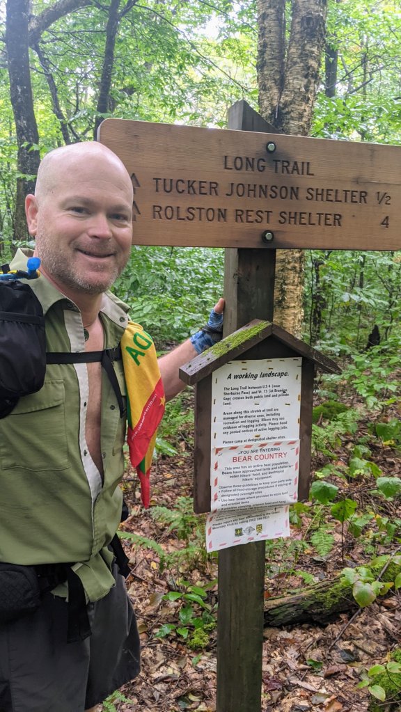
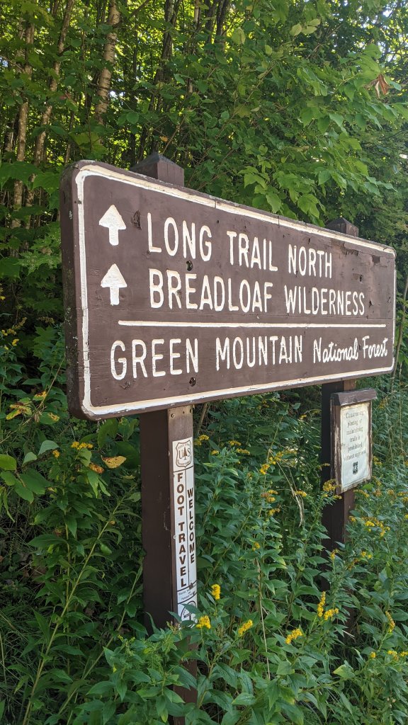
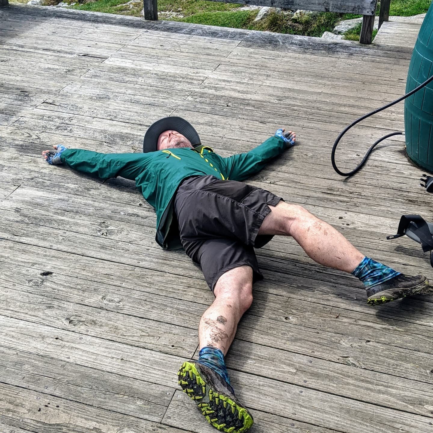
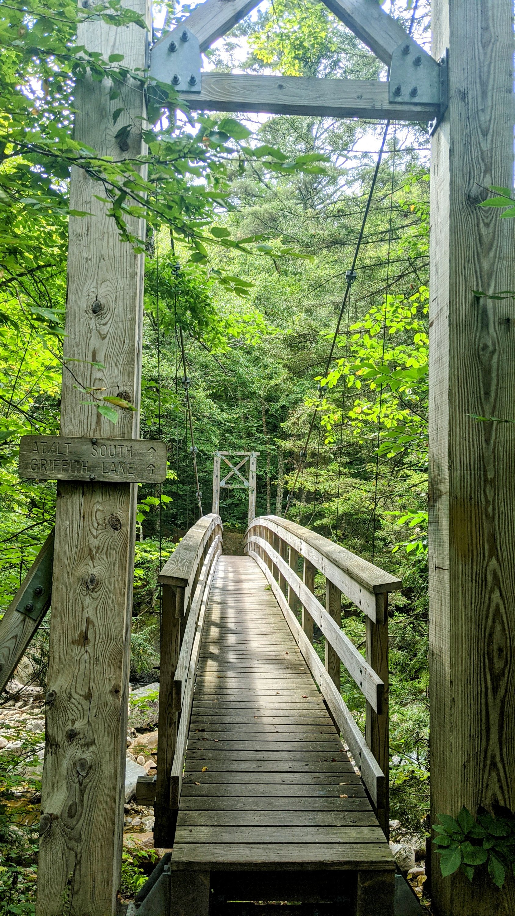
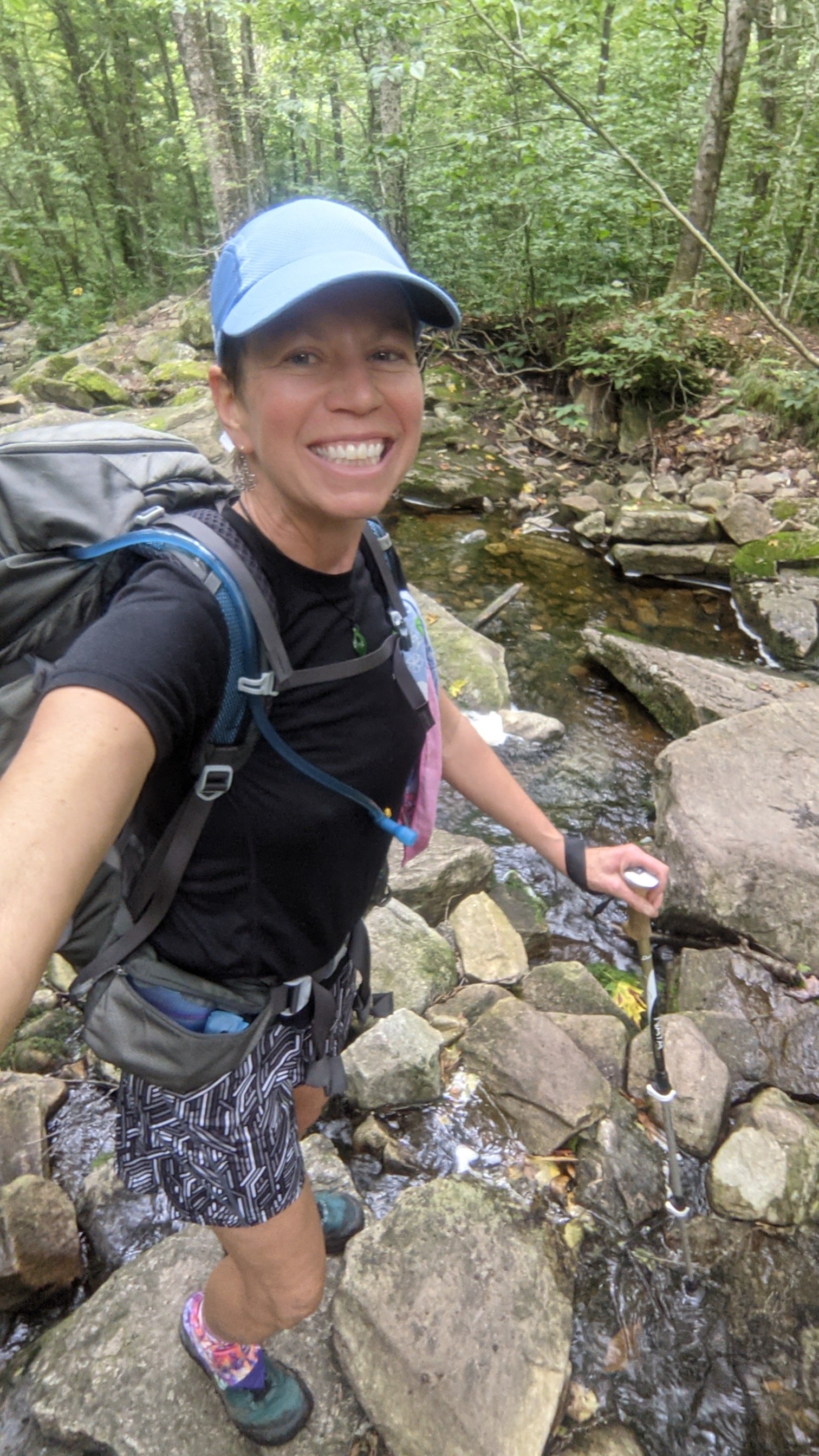
Sorry if you’ve been worried about us! Yes – we actually did finish the Long Trail, more or less in one piece.
After all of our injuries, hiking challenges, and bad weather we lucked out with beautiful sunny days for the last five days on the trail. And it’s a good thing too! That far north, the days got noticably shorter by the end of September and we were grateful to have some sunshine and no rain during the shorter hiking hours.
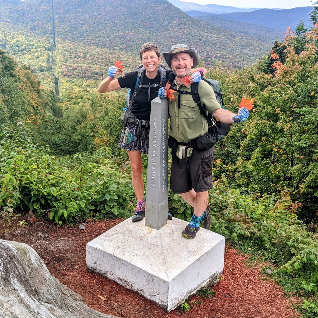
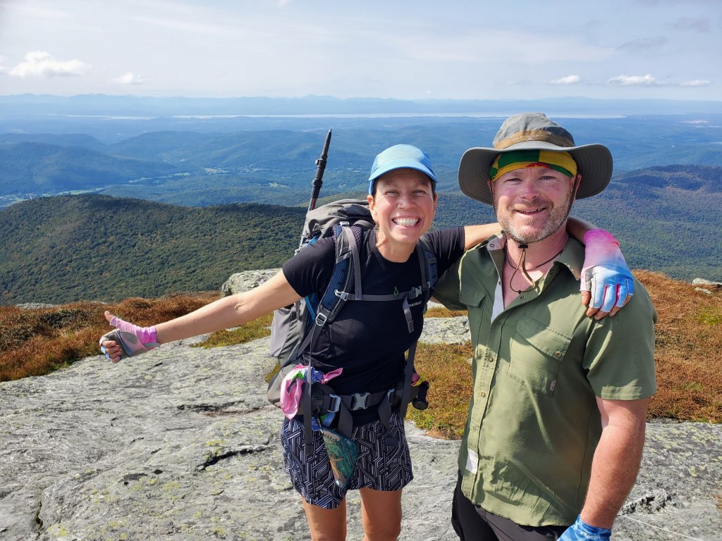
We reached the monument at the US-Canadian border at the same time as three other hikers we’d spent time with along the way. So it was good fun to celebrate our accomplishments and to congratulate each other. And of course, to take lots of pictures against the backdrop of red fall maple leaves 🍁
IRL, Mike and I are back in Grenada on our sailboat, Sanitas. So I promise a blog post soon about all of the trials and tribulations involved in traveling internationally when Covid just won’t go away!
Day 10 – Wednesday Sept 8, Day off in Woodstock, VT
0 miles, very few steps
We hitchhiked from the Inn at Long Trail to Woodstock, VT where our college friends Sean and Scarlett treated us like royalty. Not only did they show us to a very comfortable guest room with a warm bed and a hot shower, they drove us all around town to get supplies, treated us to delicious meals, and best of all – were great company. It was lots of fun catching up on life after many years and meeting their daughters again as young women. Thanks for a wonderful day off, you two!
Day 11 – Thursday Sept 9, David Logan Shelter
13.1 miles, 36,830 steps
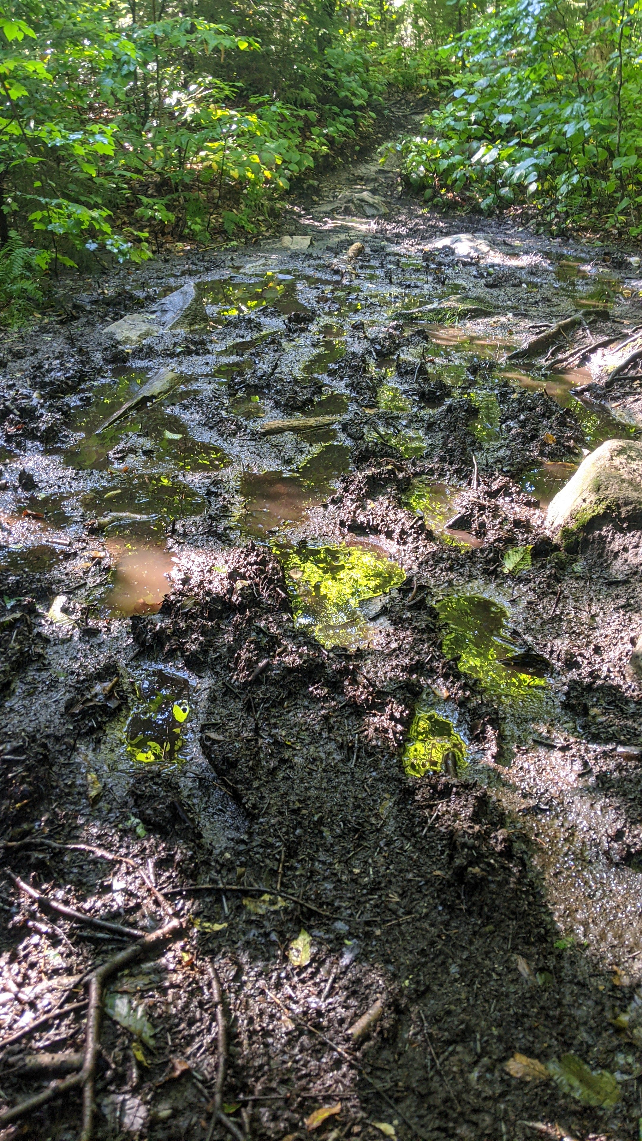
I’m a bit down today. I guess it’s understandable after such a fun day off, then returning to the trail with full, heavy food bags, on a day that looks like rain. Also, I have a touch of tendonitis in my left wrist – it’s swollen and painful, and I can’t use my hiking poles until it clears up. I have to admit, I didn’t realize how much I’ve grown to rely on my poles for balance and rhythm both on uphills and downhills. I knew this trail would be physically hard because I’m not really in shape for this kind of long distance hiking day after day. And I knew it would be mentally challenging to hike through the rain in the autumn cold weather. But I didn’t realize I’d experience so much physical pain. It’s maybe not as much fun as I thought it would be. 🥺
Day 12, Friday Sep 10, Sucker Brook Shelter
13.3 miles, 36,892 steps
Still can’t use my poles. Still a very muddy, technical trail with lots of short, steep climbs. Still swollen wrist. Still cold. But at least it’s not supposed to rain much for the next couple of days.
Day 13, Saturday Sept 11, Cooley Glen Shelter
16.7 miles, 49,700 steps
A sunny day today with good views. Dingle and I decided to take advantage of the sunshine to do a really long day, giving ourselves the chance to make the next day a short one in case the rain returns. One of our trail friends was having a tough time today, so we worked together to get through the miles safely, making it to the shelter just as it got truly dark. Dingle had the tent set up, a cup of tea waiting, and water hot to make dinner. Thank goodness!
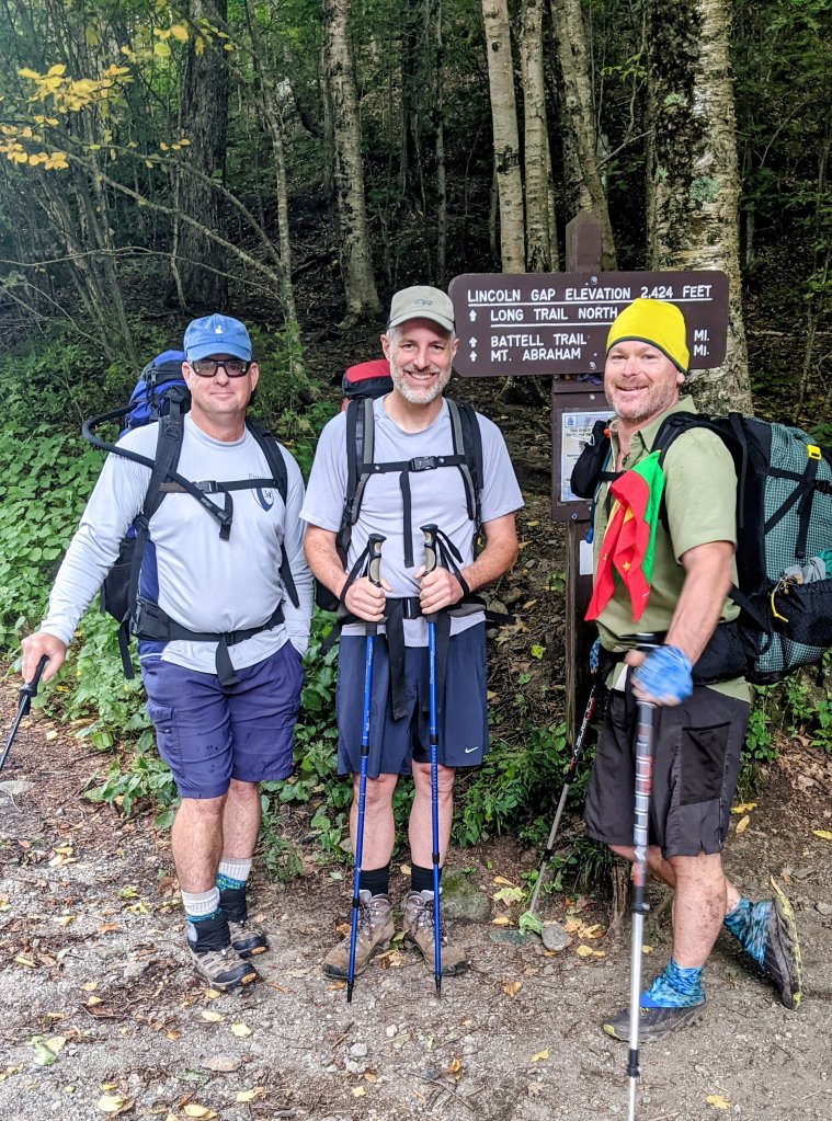
Day 14 – Sunday Sept 12 Battell Shelter
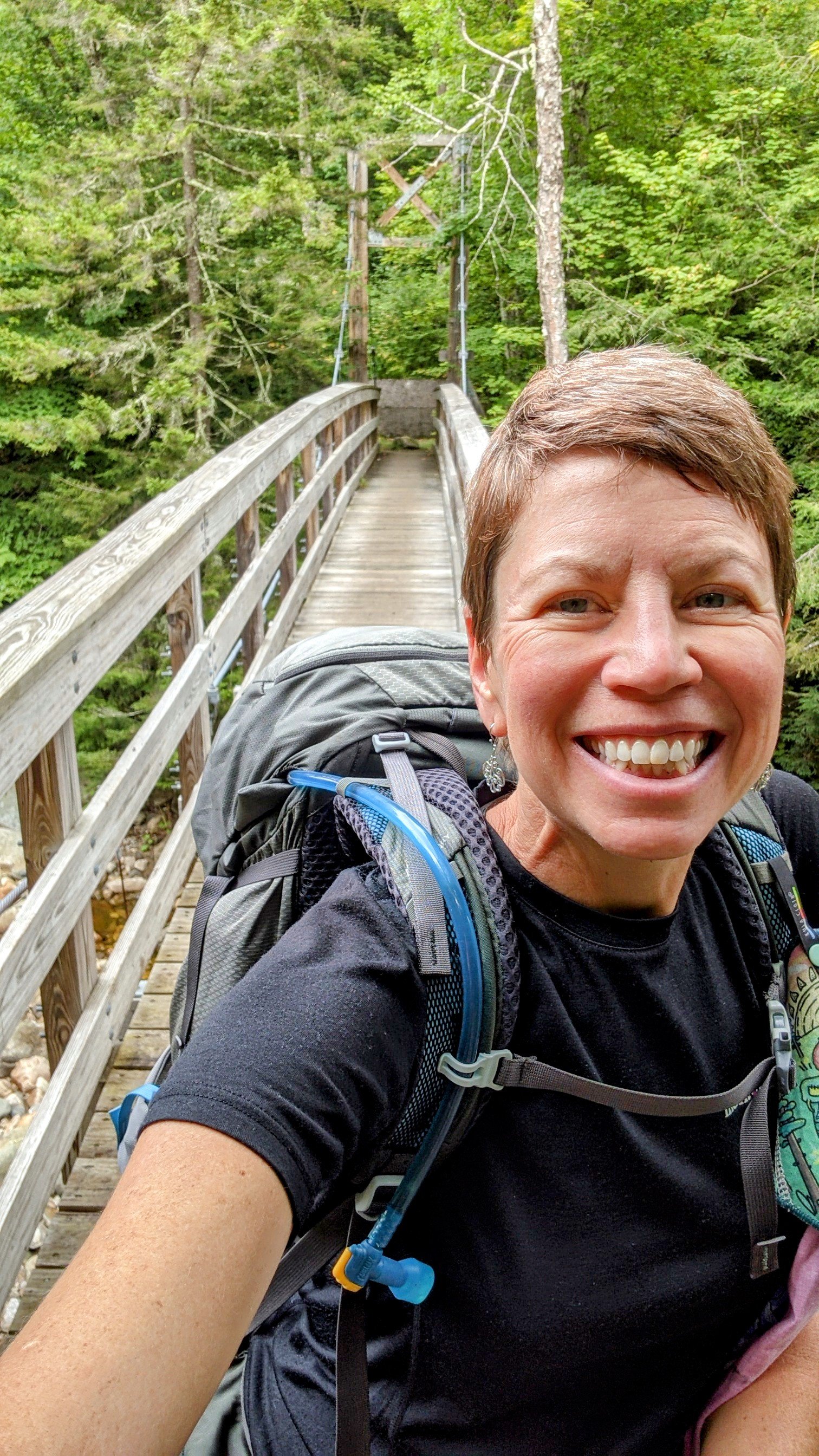
7 miles. Today was fun! Our friends Sean and Kyle met us at the Lincoln Gap road crossing and joined us on the trail overnight! We hiked in two miles from the road to Battell Shelter and spent the evening chatting, catching up, and hanging out with other Long Trail end-to-enders. They even hiked in a couple of Vermont hard ciders as a treat. It was fun getting the chance to introduce “civilians” to backpacking life. Both Sean and Kyle admitted the next morning that they had a really tough time going to bed at 8:30 in the evening, lol. And that they were sure glad they packed ear plugs!
Day 15 – Monday Sept 13, Cowle’s Cove Shelter
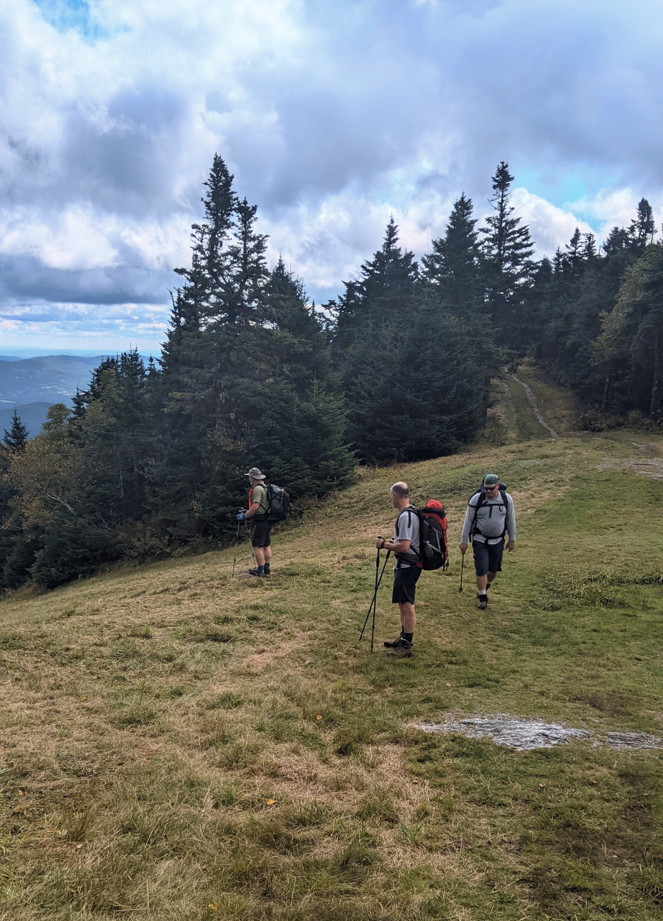
14.6 miles. Sean and Kyle hiked with us for about eight miles today, over the top of Mount Abraham and Mount Ellen (both over 4,000 feet) and through Mad River Glen ski resort. We lucked out and had a gorgeous sunny day to be hiking up high. I think everyone enjoyed the hike and the views, and Dingle, the social butterfly, had hiking and chatting partners all day long. We were a little bit sad to say goodbye to our friends at Appalachian Gap, where they got back in the car to head home to the real world, and we had about another six miles to hike to our shelter for the evening. Dingle and I joked that they were probably saying to each other, “I’m sure glad WE don’t have another six miles to walk today!” as they turned on the heated seats and drove to the nearest burger joint.
Day 16 – Tuesday Sept 14, US Route 2 Waterbury, VT
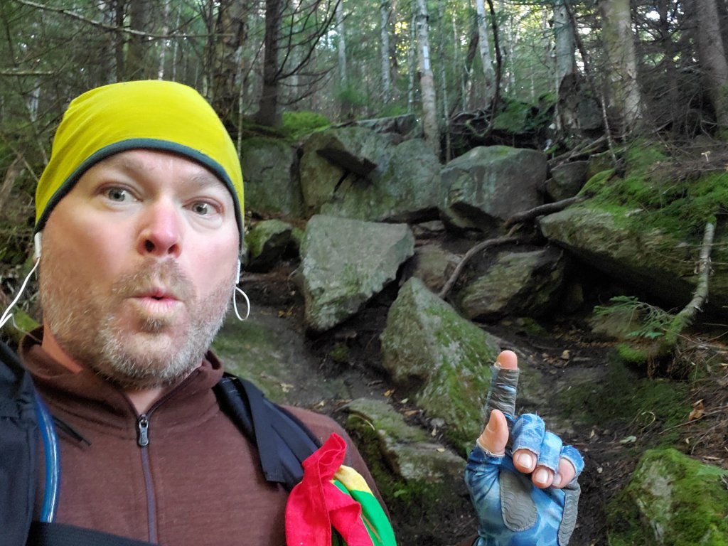
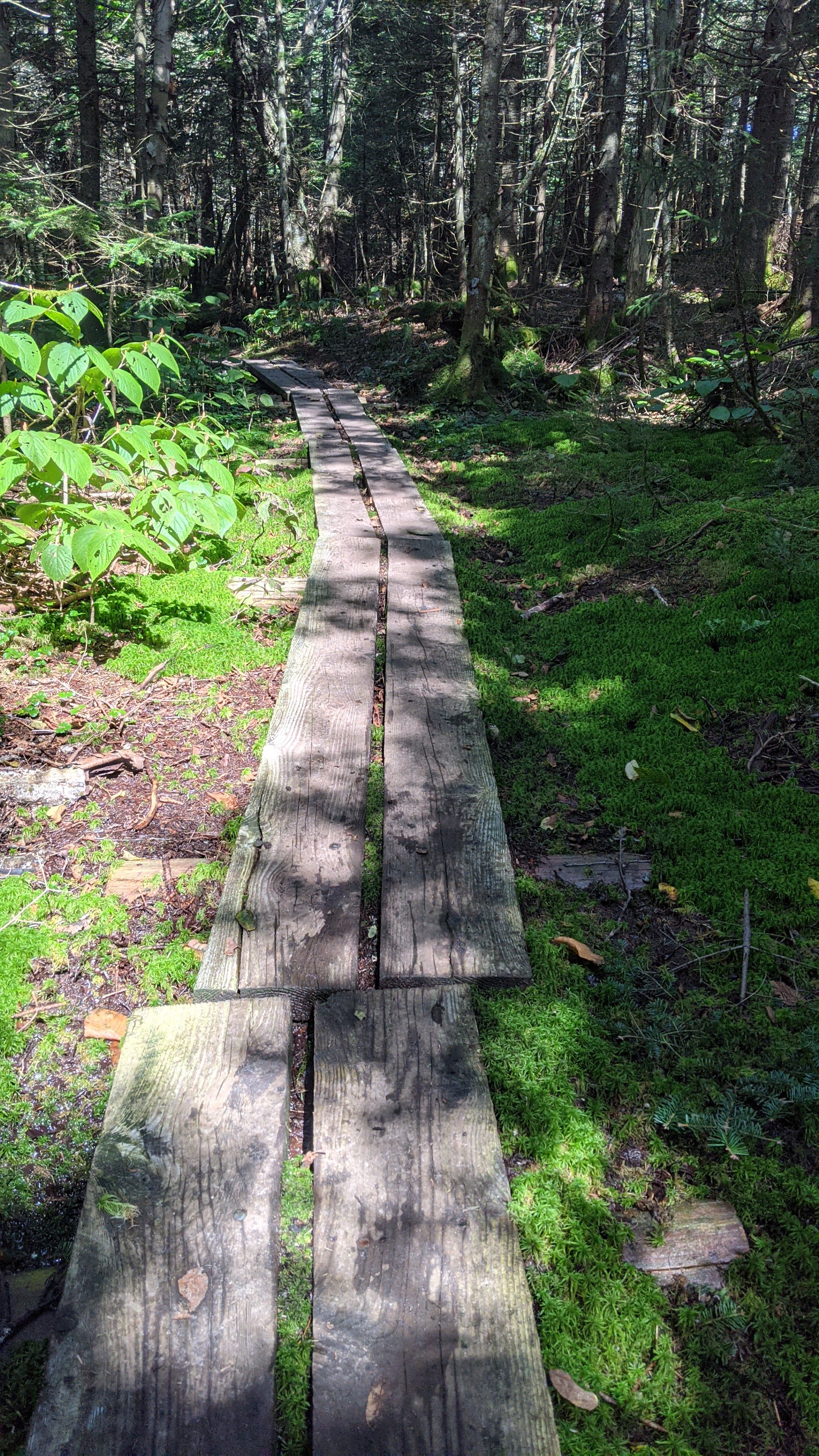
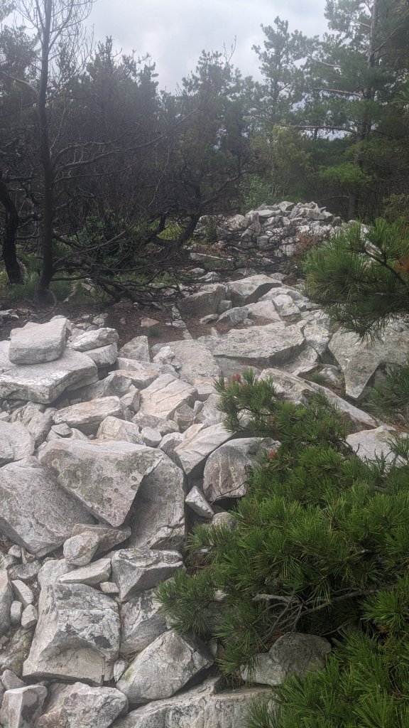
15.6 miles. Holy cow, today was a rough day. We started out a bit tired and sore from yesterday’s elevation change and a poor night’s sleep. And we started right out climbing again. This far north on the Long Trail, it’s not just the elevation gain that gets you – it’s the fact that the trail gets much more rocky, root-y, and technical than in the south. And they don’t believe in switchbacks in Vermont. The trail just goes straight up….and then straight down. We passed a south-bound Long Trail ridge runner (volunteer) and dingle asked “How much longer does the trail stay this messy and difficult?” And he replied, “All the way to the Canadian border.” Thank goodness he was exaggerating (slightly) but that answer sure got stuck in our heads and messed with our mojo for the next few days.
We hiked over Mount Ethan Allen, at ALMOST 4,000 feet, and took a lunch break at Montclair Lodge before starting the long climb up to Camels Hump. Another south-bound hiker named Limerick had told us that he did a five-mile day over Camels Hump and hadn’t considered it a particularly easy day. Yet here we were committing to over 15 miles to get ourselves to the next road crossing and a day off in Waterbury. If it wasn’t for that hotel reservation, we’d have probably have broken this section into two days and spent an extra night on the trail – even if it meant just eating a Kind bar and one Lara bar for dinner. But I had visions of a hot shower and a comfy bed motivating me up and over this beast of a mountain.
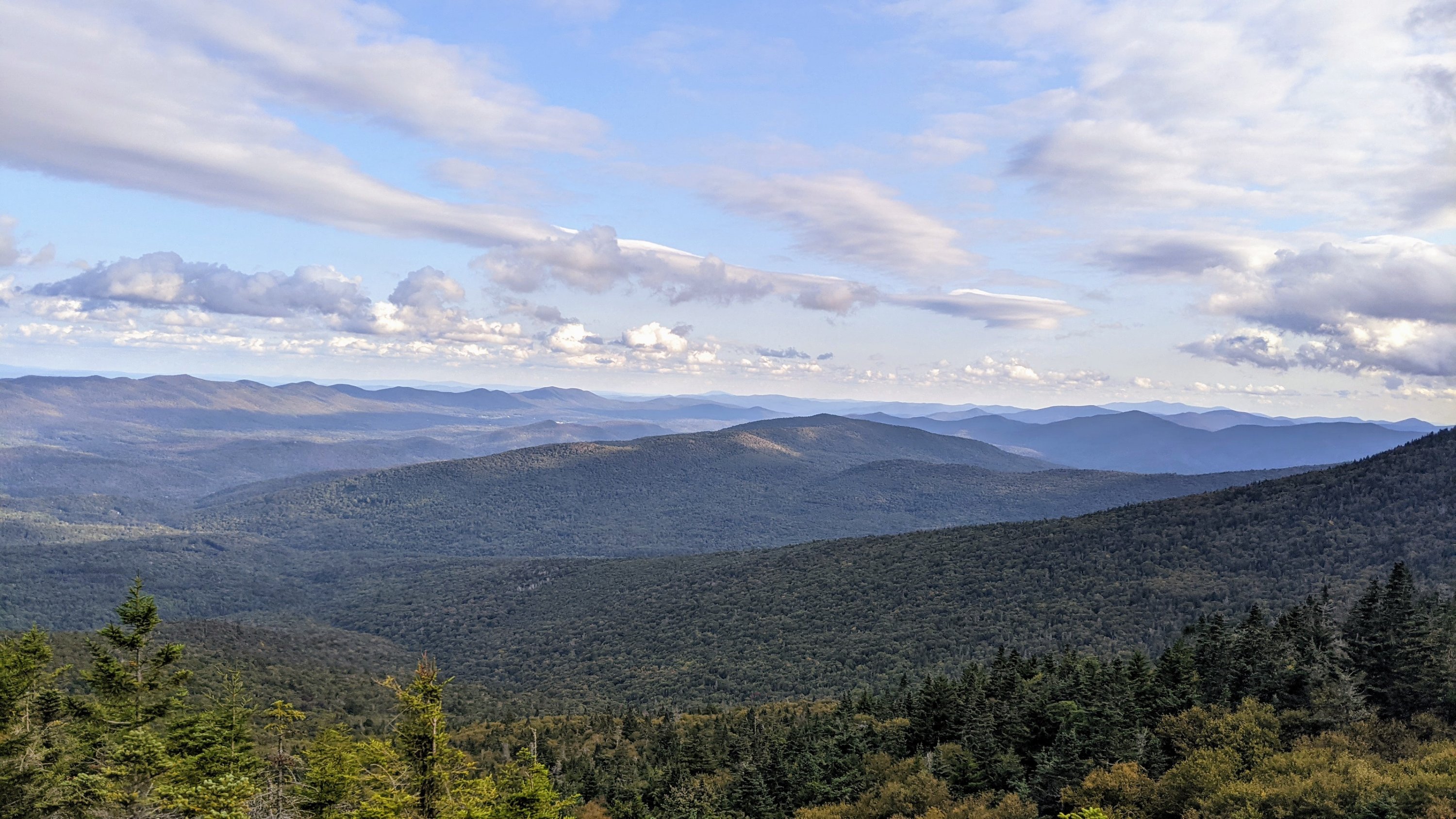
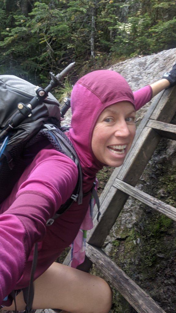
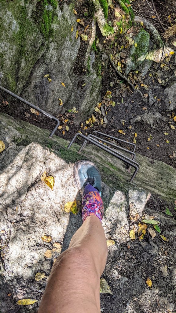
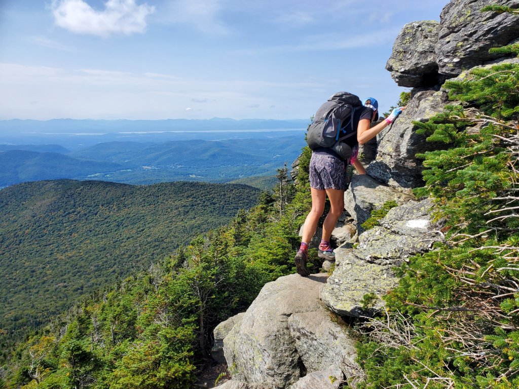
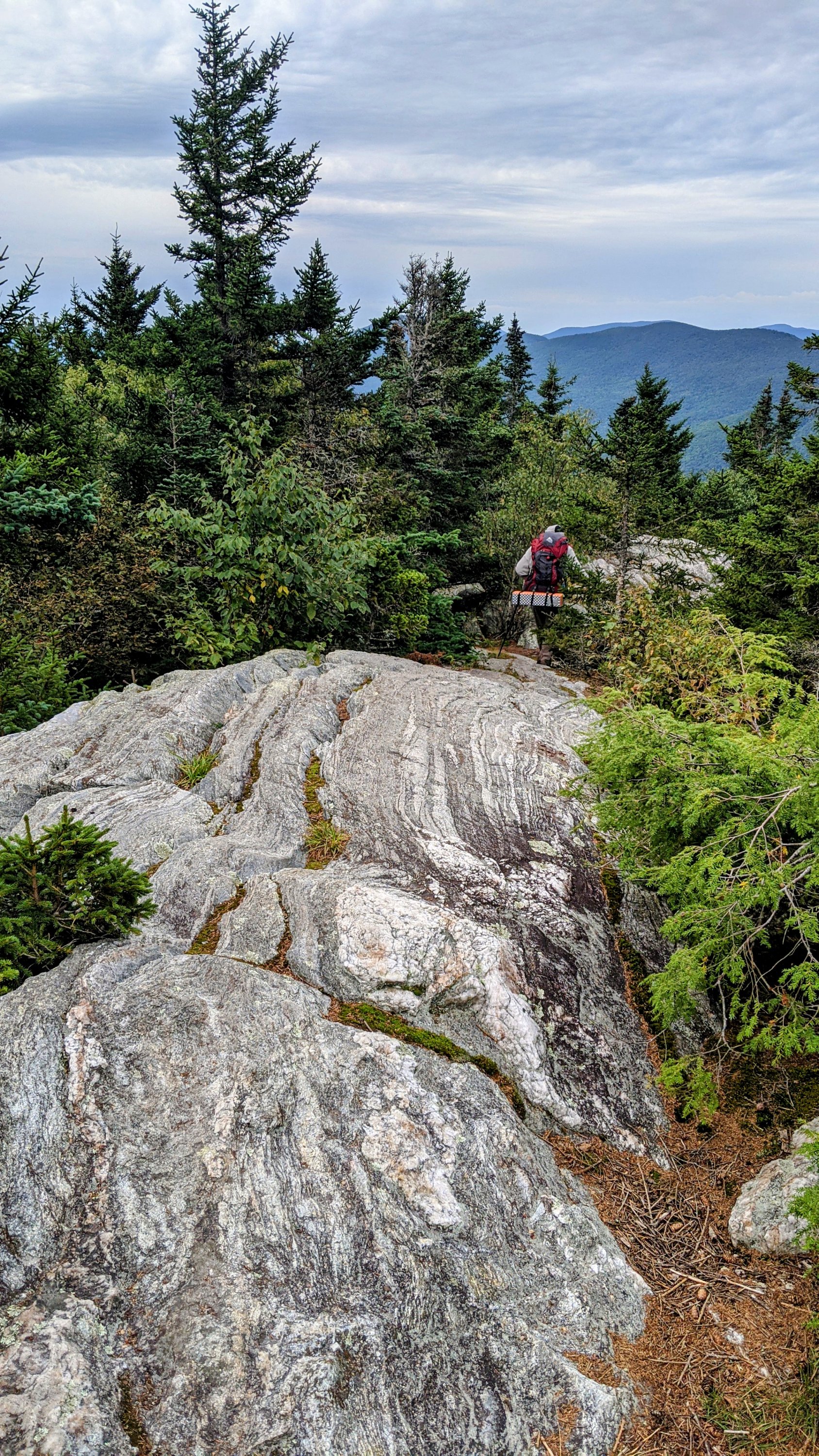
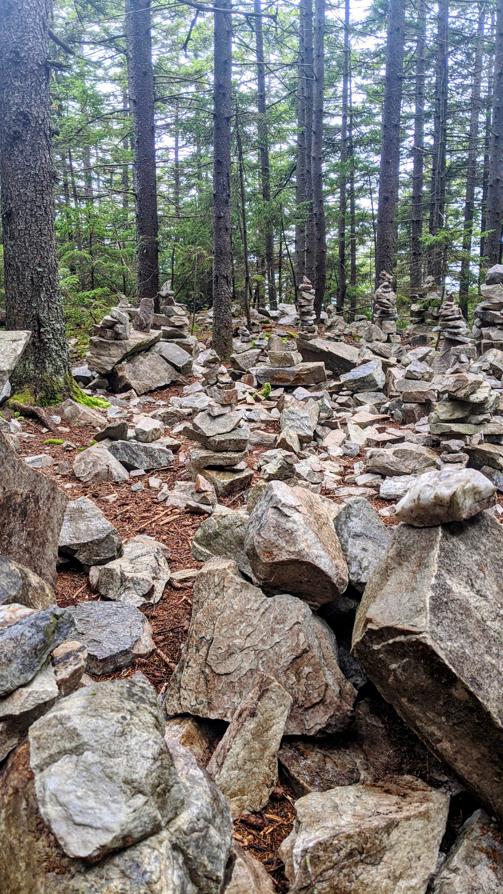
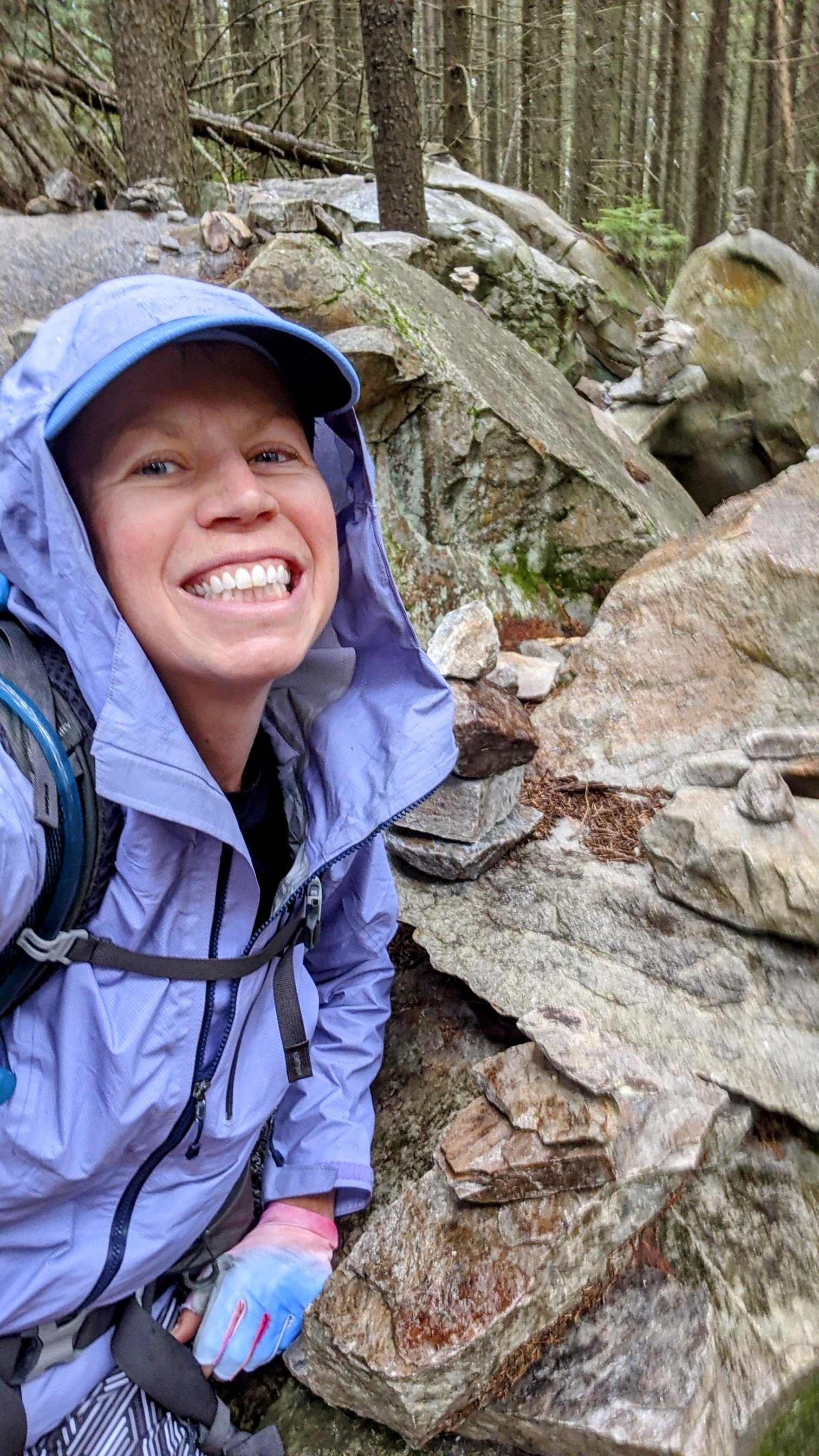
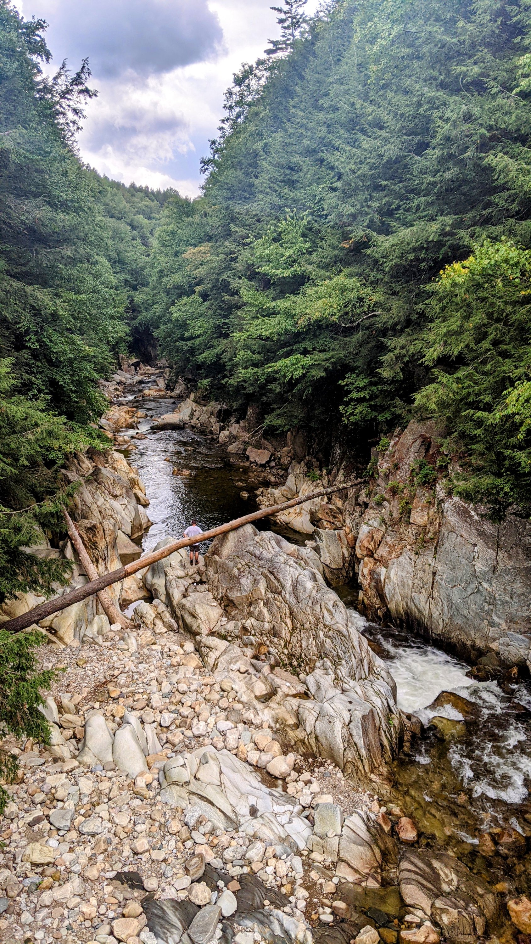
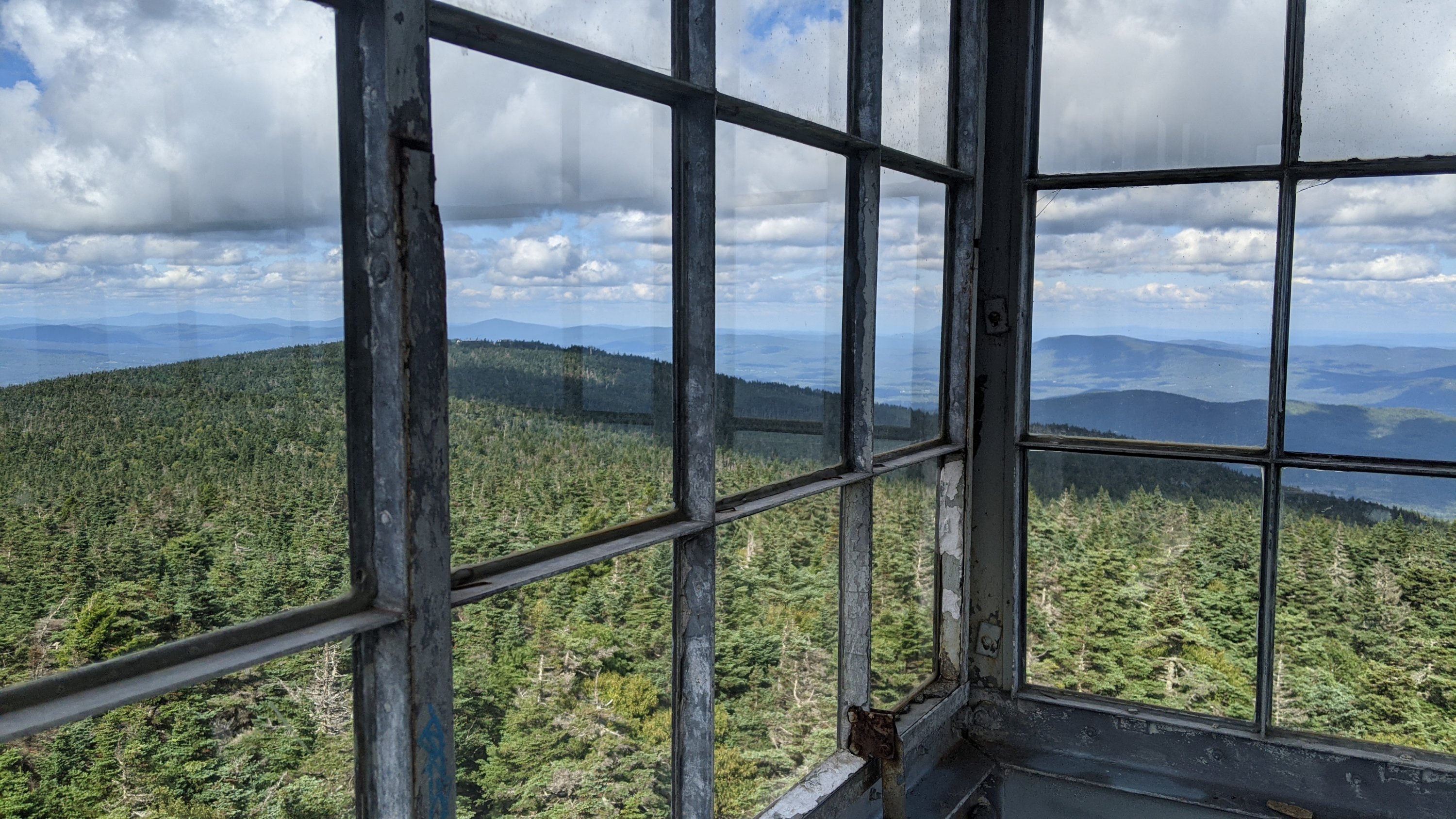
Camels Hump is one of two places where the Long Trail rises above tree line and into the alpine zone. It’s a pretty unique environment for the northeast, with shelves of granite separated by shallow soil and miniature, hardy plants that can somehow manage to survive in this cold and rugged environment. The trail itself simply climbs above, around, and over these rocks, making for some interesting hiking moments, especially for those of us (ahem, Dingle) who are afraid of heights! Once again, we were lucky to have no rain and some pretty good views from the top! But no time to linger because we literally had miles to go before we slept.
For my old lady knees, hiking down Camels Hump has harder than climbing up. Dingle thinks they intentionally put the Long Trail on the worst route down the mountain: sometimes down a rocky stream bed, sometimes down huge slippery moss-covered rocks, and sometimes down a couple hundred yards of steep exposed tree roots. Is this even a real trail?!? Eventually, we made it to the trailhead right about at sunset, and were lucky enough to to finish at the same time as a lovely woman named Tamara who provided us with some well-needed trail magic and drove us directly to the front door of The Old Stagecoach Inn of Waterbury. I could finally have that magical hot shower I’d been longing for!
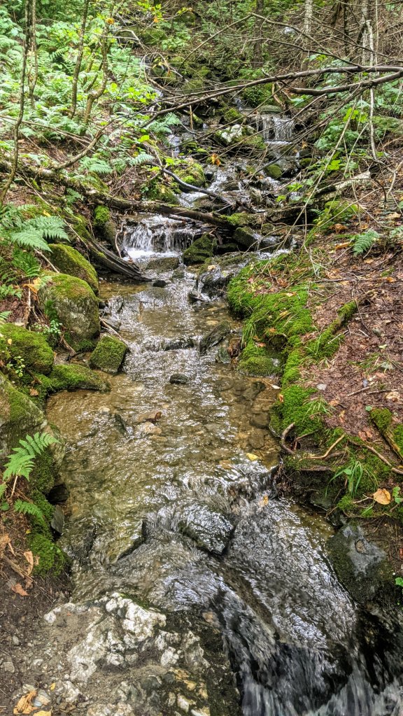
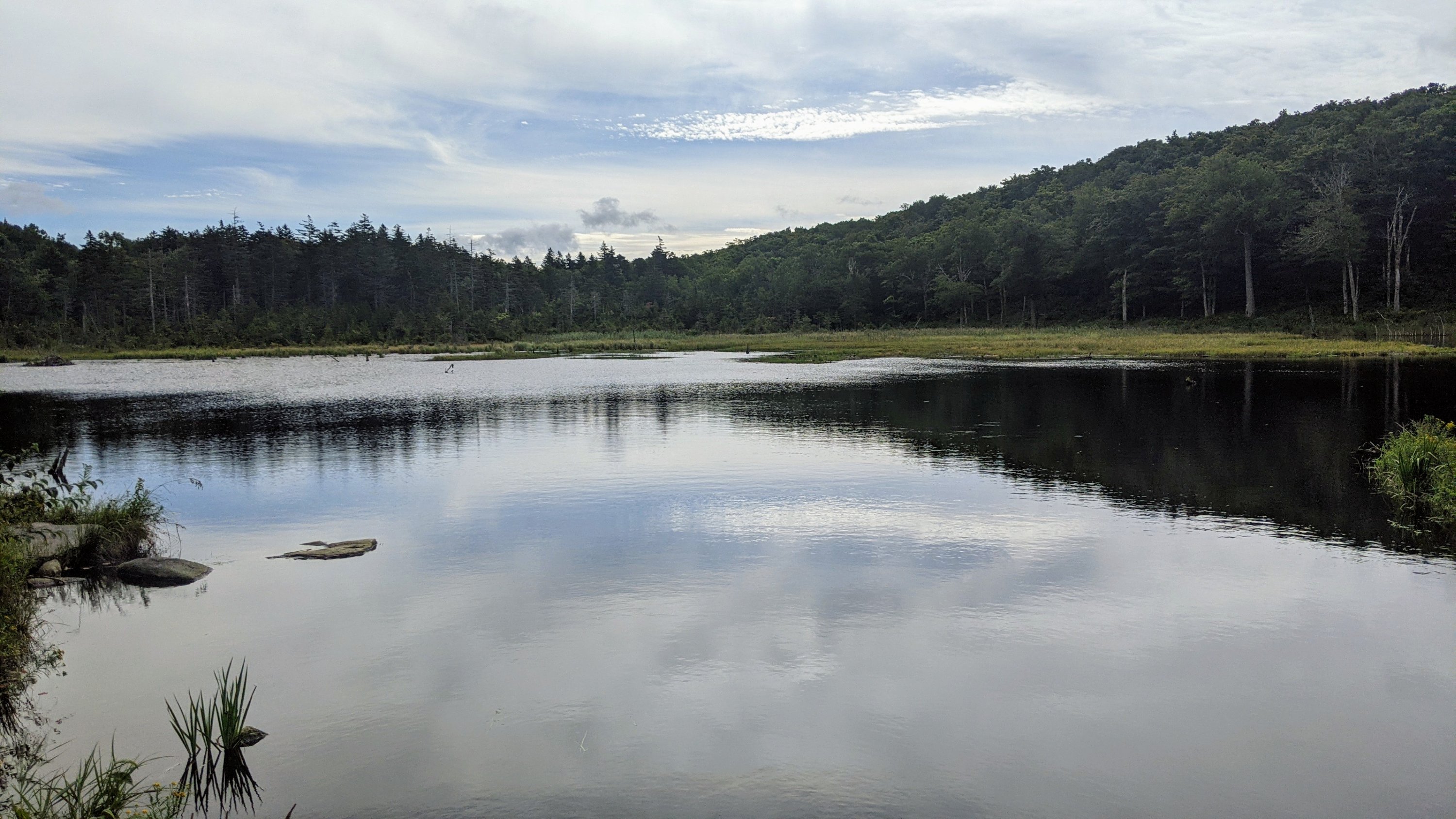
10.6 miles 28,664 steps. Got a lazy start from the Pinnacle Lodge this morning, but that’s ok. Dingle was smart and planned on it. We only had to hike 10.5 miles to the next shelter, and with heavy food bags from our resupply and a swollen left knee, I was happy to just mosey along through our first sunny Vermont day. Enjoyed the novelty of dappled sun beams lighting up the bright green moss. Also our first real vistas – wide open views from the top of Bromley ski resort, and more subtle glimpses from Styles Peak. In case you were wondering, one sunny day does NOT dry out a trail full of mud. More firsts for day six: our first shelter on the banks of a babbling brook, and our first attempt at Thanksgiving-in-a-pot for dinner (pretty mushy)
Day 7: Sunday 9/5 Greenwall Shelter
14.7 miles, 38,114 steps.
Today’s firsts… First trail magic! Lots of Labor Day weekend hikers out with too much food. One guy I met at the top of the Baker Peak rock ledges gave me three packets of instant coffee and a homemade spice mix (hmmm…. Now that I write this, taking a zip lock of indeterminate brown flecks from a stranger seems sketchier than it seemed in the moment) Another weekend couple gave Mike a packet of a spiced daal which we ate cold as an appetizer for dinner.
First fall on the trail…I took a bad step and twisted my right ankle. Thanks to my trusty Leki hiking poles, I didn’t land on it with my full weight and risk a sprain. Instead, I gracefully fell forward and landed with both knees in the soft Vermont mud. Took stock, determined I was ok, then figured out how the heck to stand back up from that position with a big pack on my back and…I was off again! Though with my confidence gone, I was slower and much more cautious for the next few miles.
Once again, Dingle made it to the shelter before the rain started, and I straggled in an hour or so later. Darn it!
Day 8 – Sept 6, Governor Clement Shelter
15.1 miles, 41,352 steps.
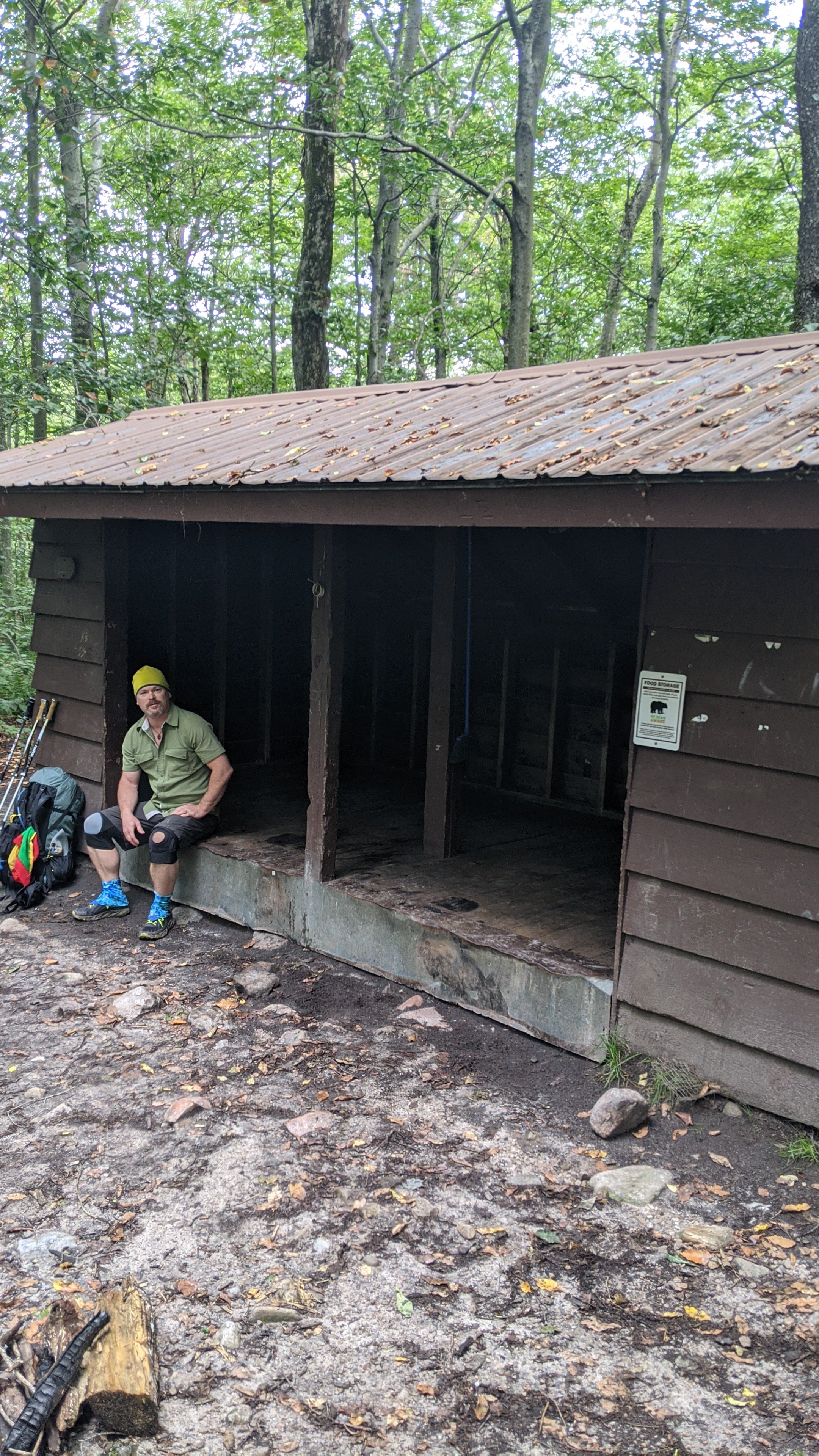
Apparently all the times I’ve hiked in the rain before today were only drizzles…today, I experienced my first Vermont deluge. I was feeling pretty good, making great time, and I felt a few rain drops as I crossed the road at beautiful Clarendon Gorge. At first I thought I wouldn’t even need my raincoat if the storm blew through. Plus, I only had a mile or so to go before I’d reach the shelter where Mike and I planned to meet for lunch. BUT THEN… as I climbed a rock fall to get up out of the gorge, the sky opened up and a torrent of rain poured down. I struggled to put on my rain fly and my rain jacket, as the trail turned into a river. The rocks turned slippery, and my shoes filled with mud. I felt something bopping me on the butt, and reached behind me to find that my rain fly was full of at least a liter of water, which I emptied down my back and into my socks. By the time I finally reached that shelter, I was soaked to the skin and freezing. Dingle was sitting in a chair (who brought a chair to the shelter?!?) and said “Hey Toe Jam! You finally made it” I replied, “Get out of my way – I’m so cold !!!” He stepped back while I stripped off all my hiking clothes and put on warm dry clothes. I THINK the other hiker in the corner of the shelter was napping. Finally I was dry and I attempted to eat myself warm. I was so happy to wait out the rain in the shelter, but when to rain finally stopped, putting all my soaking wet hiking clothes back on to hike an mother six miles was not great. Governor Clement Shelter is an ancient stone shelter with a fireplace inside! Yahoo! Mike and another hiker named TrailBlazer managed to find enough dry-ish wood to make a fire and dry ourselves out. Not a bad end of the day.
Day 9: US Route 4, the Inn at Long Trail
10.6 miles, 29,706 steps. I’ve been on the Long Trail for nine days, and I’ve hiked 100 miles, and I think that qualifies me to say, “Section hikers on their first day out are so cute!” We shared a shelter with a hiker last night who told us, “I gotta warn you – the ten mile section north of here is really muddy!” I was tempted to tell him that the ninety mile section south of here was ALSO very muddy… But I bit my lip.
I’m too tired to write much about 4,000 foot Killington Peak, but suffice it to say it was gorgeous! And the burger at the Inn at Long Trail afterwards was delicious!
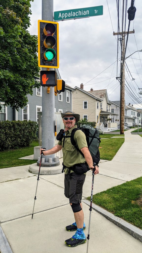
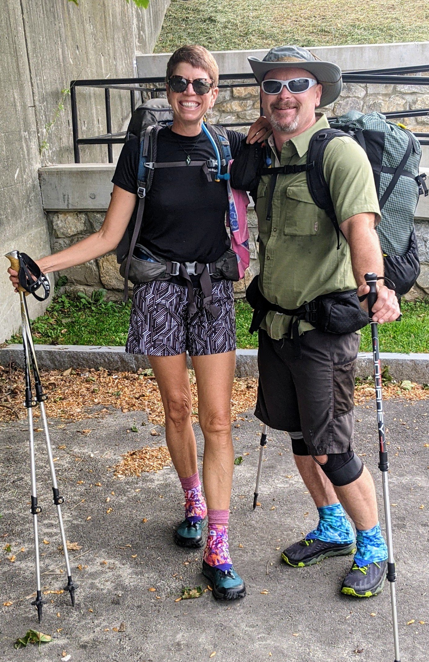
Last Sunday, our very good friend George Thompson drove us over three hours from his home in Underhill, VT to a Howard Johnson in Williamstown. I gotta tell you, it’s a very strange feeling to see that car drive away and be left in a strange town, wearing one set of inappropriatly casual clothes, with a small pile of “stuff” and to be left on our own!
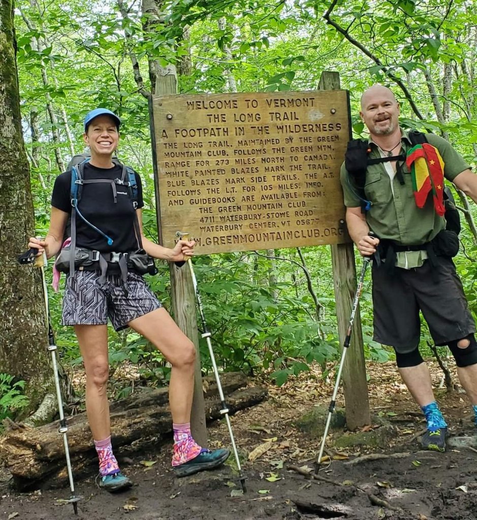
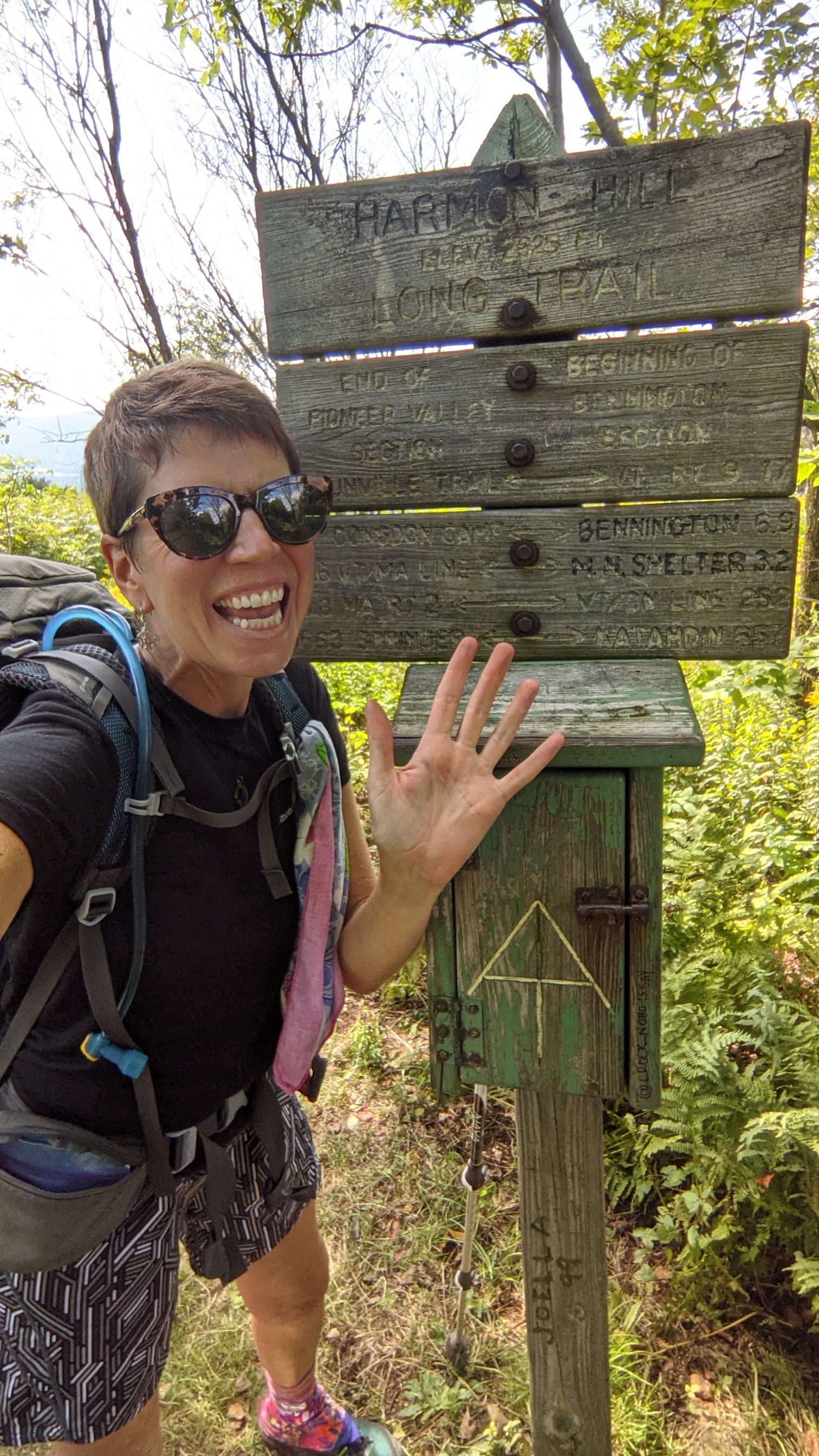
Day 1- Mon 8/30 Williamstown to Seth Warner Shelter
2.8 miles (+6 extra miles) After breakfast at the Moonlight Diner, we walk two miles through Williamstown and North Adams to get to the Appalachian Trail (the At and the LT are the same trail for about 110 miles) Then we hike an uphill 6 miles to finally arrive at the Vermont line, and the official start of the Long Trail! I’ve got the First Day Blues (sore toe, bad knee, heavy pack, mud, slow going). It’s very humid today – clothes soaked through and sweat dropping. Rain started AFTER we arrived at shelter, Yay! Usually we’re not so lucky. Stayed in the shelter with a couple from St Pete doing AT, with trail names Shortcut and Adams.
Day 2 -Tuesday 8/31: Melville Shelter
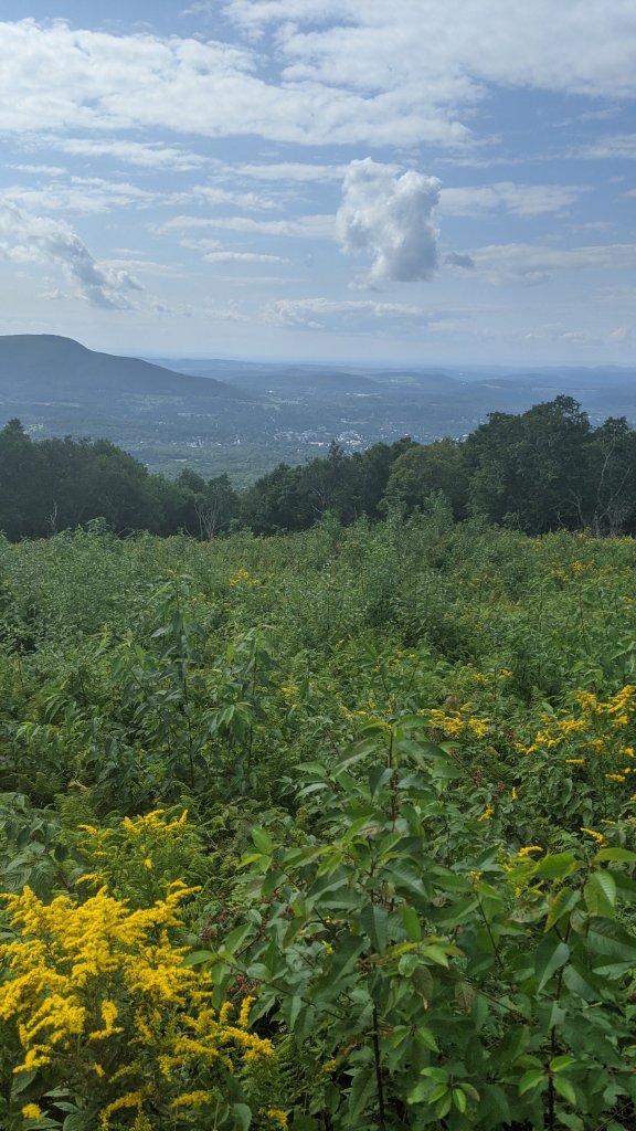
13.3 miles, 19,600 steps. Better mentally than yesterday, but harder! Didn’t get started until 8:40 and hiked almost until 6pm. Nice view of Bennington, then steep, rocky downhill to Rt 9. Steep climb back up to the shelter. Last 3 miles were TOUGH. Shared a shelter with bunk beds with Backwoods
Day 3: Wednesday 9/1 -Kid Gore Shelter, 12.8 miles, 32838 steps
My Bad Big Toe Joe
I’ve named my broken/healing big left toe Joe. Joe the Toe. (My right big toe is quieter and much less needy. He doesn’t have a name)
Joe didn’t hurt quite as much today as he did the previous two days, and I’m not sure why… – Maybe because today’s hike was a bit easier and my pack a little bit lighter? – Maybe the Mobic medicine is finally kicking in? – Maybe backpacking is actually good physical therapy – who knew? – Maybe taking all these steps every day is deadening the nerves that carry pain messages from my toe to my brain? Who cares, I’ll take it!
Joe is slowing me down though. I’ve noticed that with a bum toe, I don’t push off with my back foot and stretch out my stride as I hike. Instead, I just sort of prance along; up and down, up and down, and it’s not nearly as efficient. Also, I’m super careful where I place my foot with every step, especially on steep downs and rocky terrain. By no means do I want to risk landing Joe-first! So between the two effects, I’m literally the slowest north-bound Long Trail hiker this year. In three days, I haven’t passed a single hiker, and I’m always the last person to arrive at the shelter. Shame on you, Joe!
(Rained from 2pm to morning with the remnants of hurricane Ida. My hiking clothes blew off the line into the mud overnight, so I started the day soaking wet.
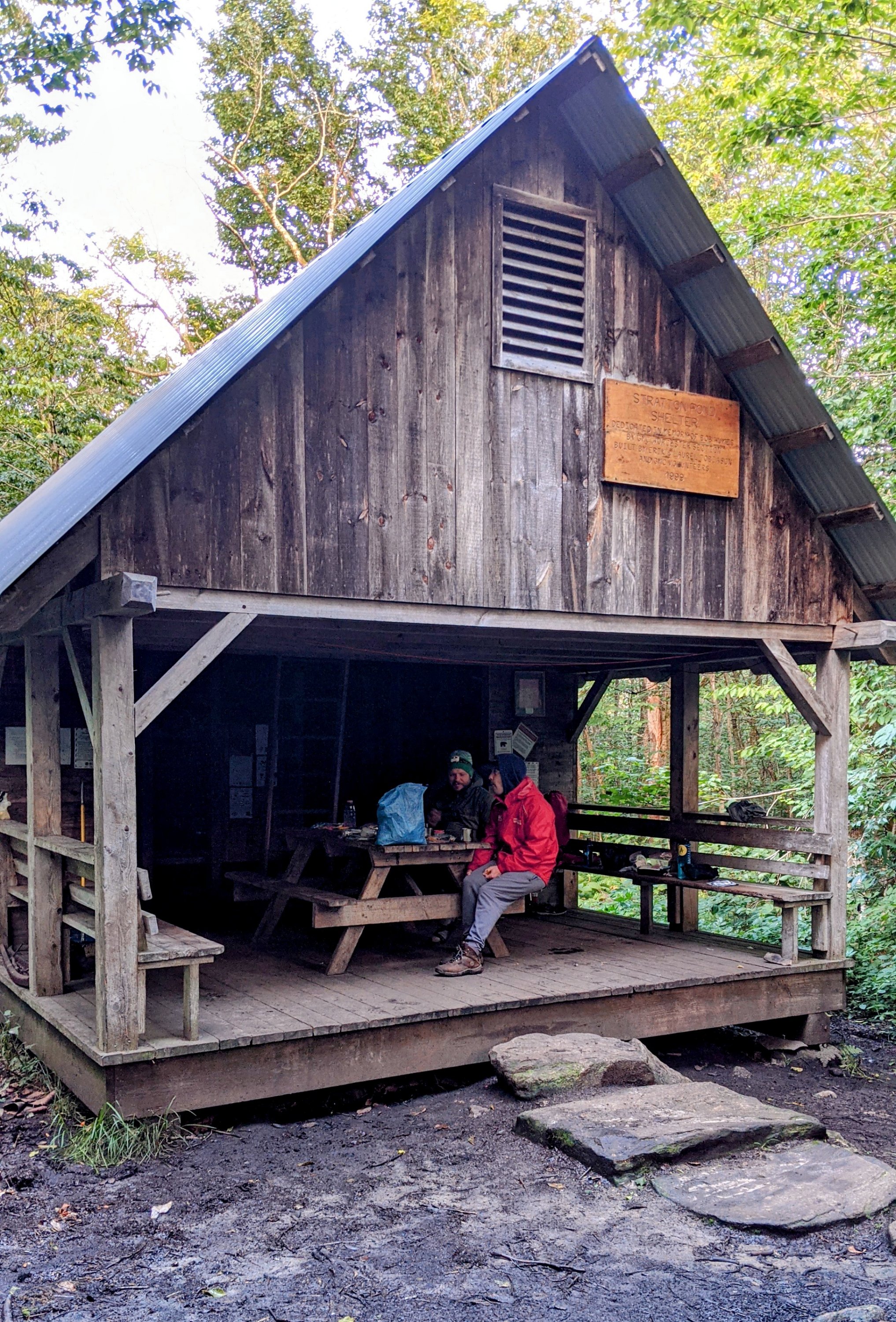
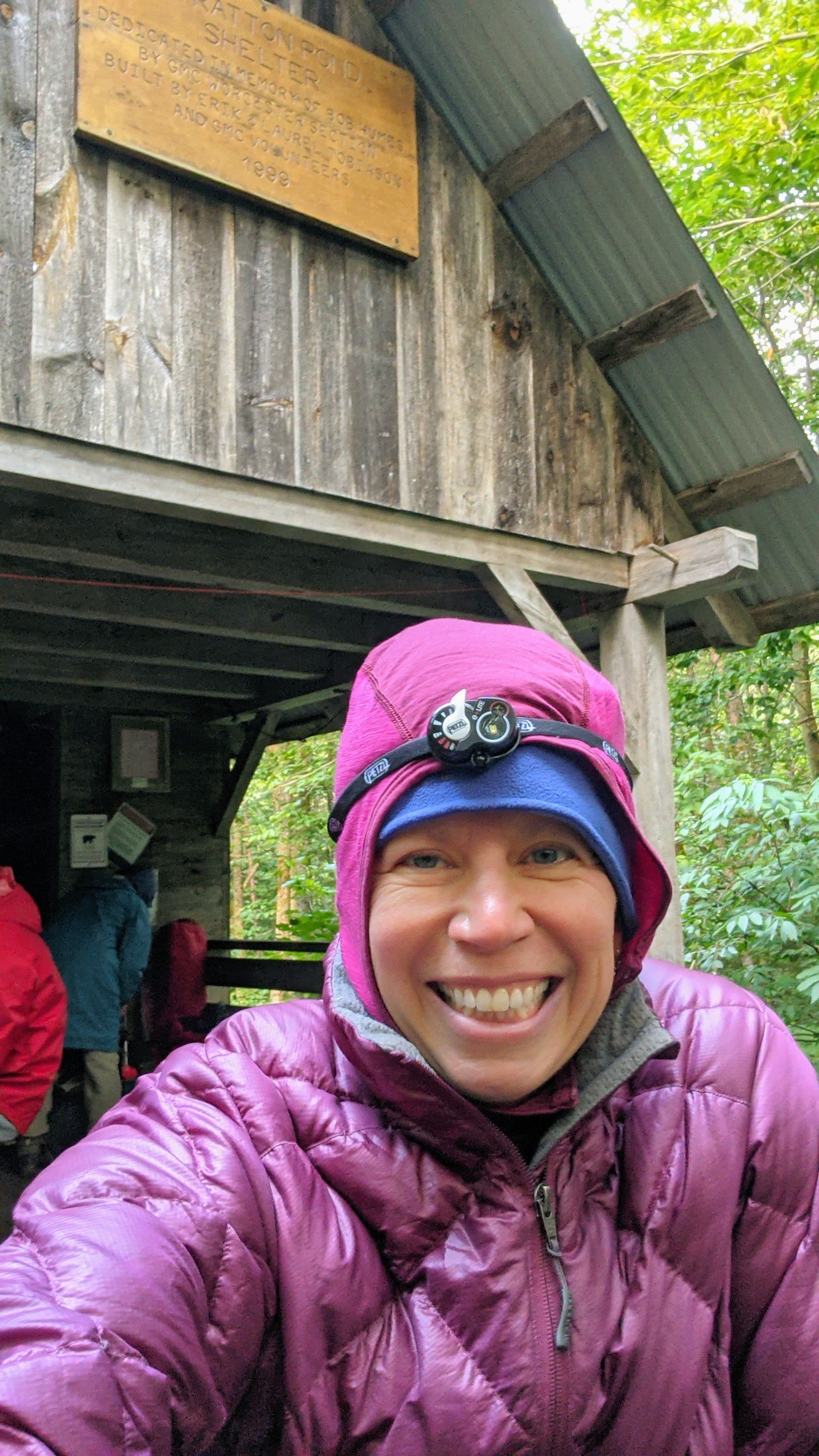
Day 4 Thursday 9/2 – Stratton Pond Shelter 15 miles
I have no problem stomping right through any clear, clean, running water. Streams, Creeks, Rivers… I’m in! But, color it black and call it mud? Suddenly I’m a delicate sugar plum fairy, dancing from root to rock, desperate to avoid falling in and hearing that dreaded SCHALURP
Day 5: Friday 9/3 Pinnacle Lodge near Manchester Center 11 miles
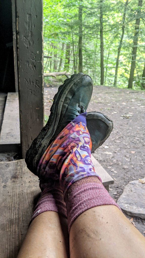
I suspect that I only like backpacking for the town stops. I don’t like being cold, dirty, and wet. But…I love the way a hot shower feels after five days of being cold, dirty, and wet! One night in a hotel to clean ourselves up and get a good night’s sleep, now it’s back out to the trail!