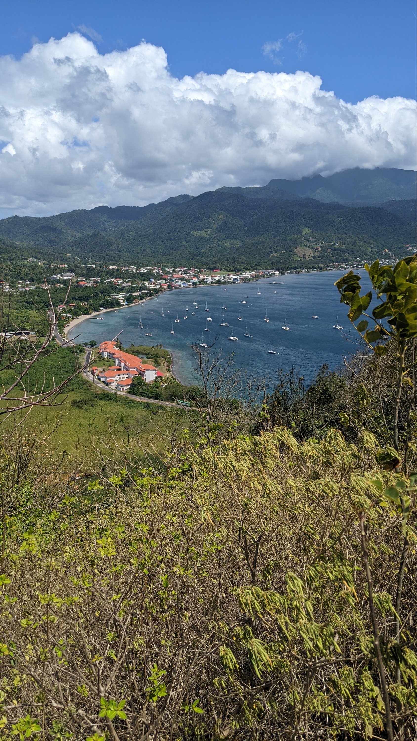
We’ve been trying to make it to Dominica since before COVID. Everyone told us we’d love it – the hikes, the rainforest, the waterfalls, the mountains! Finally, this April, Dominica eased their COVID entry requirements, and Sanitas pointed her bow toward Portsmouth harbor. From sea level, Dominica looks like Jurassic park. Verdant green mountains soar toward the sky with peaks wreathed in clouds, sparkling waterfalls flowing into one of the 365 rivers, crossing black sand beaches to rejoin the ocean. We dusted off our hiking shoes, and set out to explore.
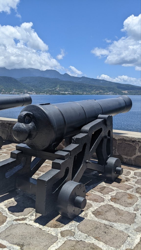
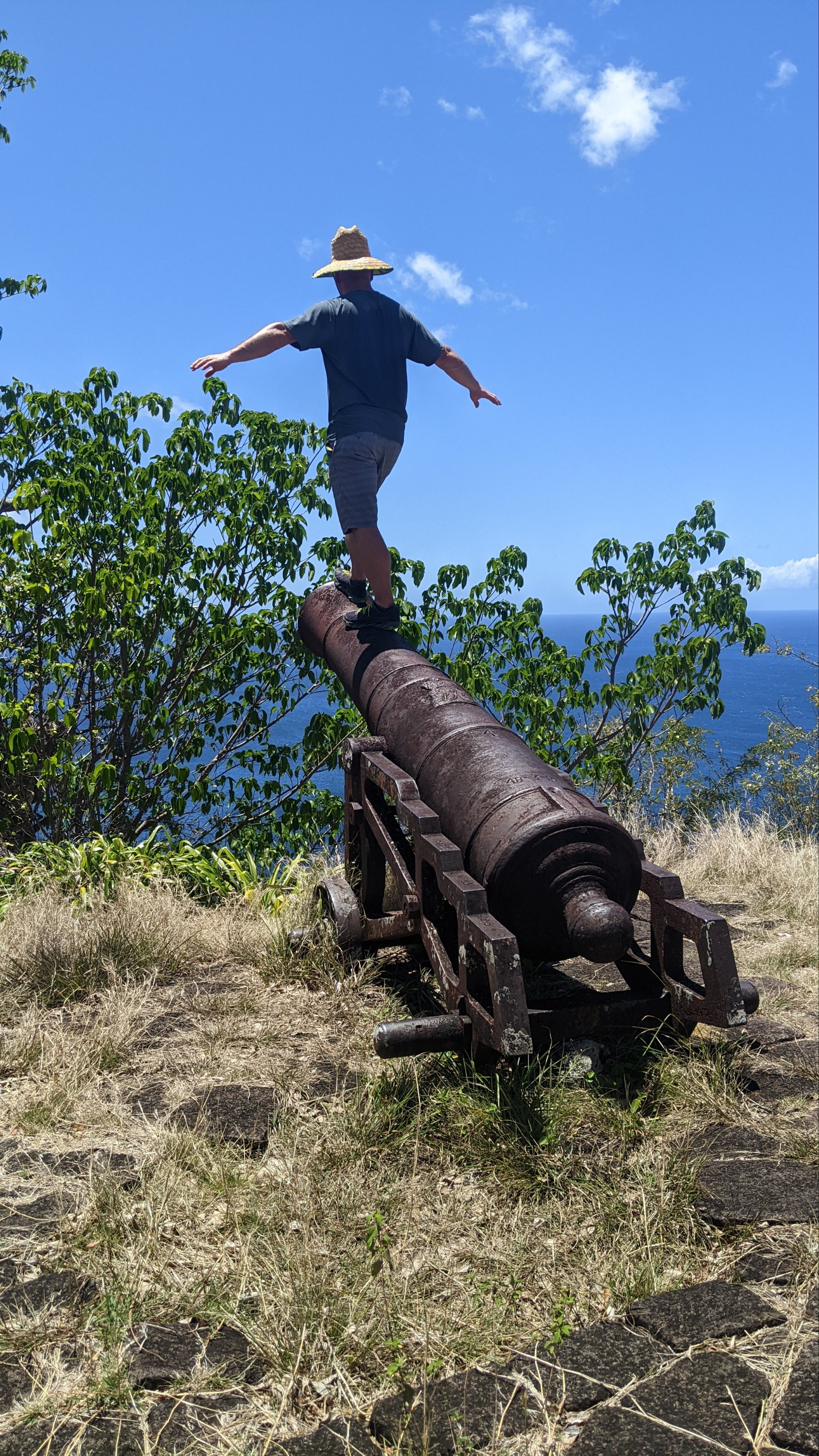
To warm up, we hiked Cabrits National Park and historic 18th century Fort Shirley. Great views from both peaks, and we pretended the harbor was filled with tall ships and Buccaneers instead of cruising sailboats.
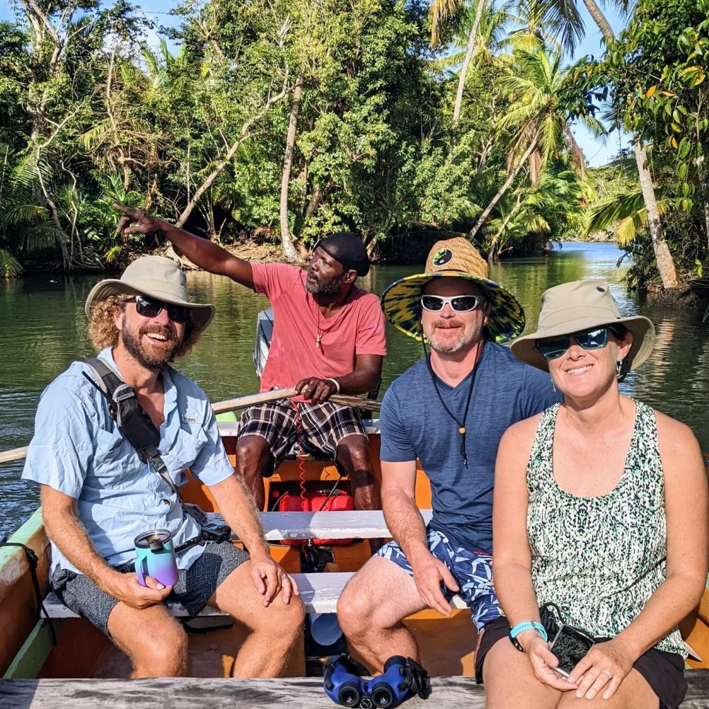
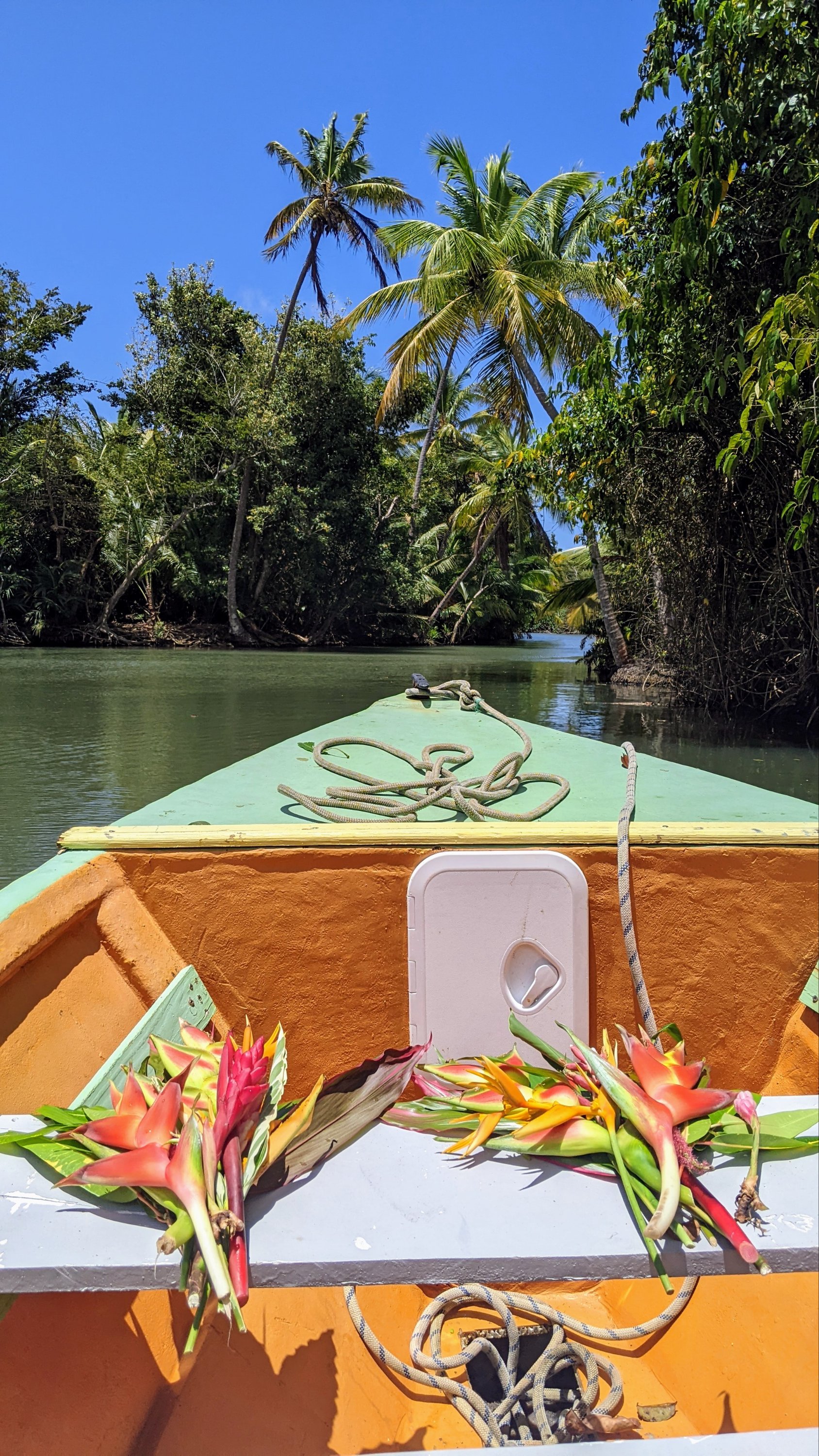
Curious about the gorgeous tropical vegetation all around us, we took a tour up Indian River with Titus, who knows the name and medicinal or cooking purpose of every plant or flower we passed. Titus taught us about the birds, snakes, and crabs that live along the river banks, and sent us home with a bouquet of tropical flowers and a big bag of cooking herbs.
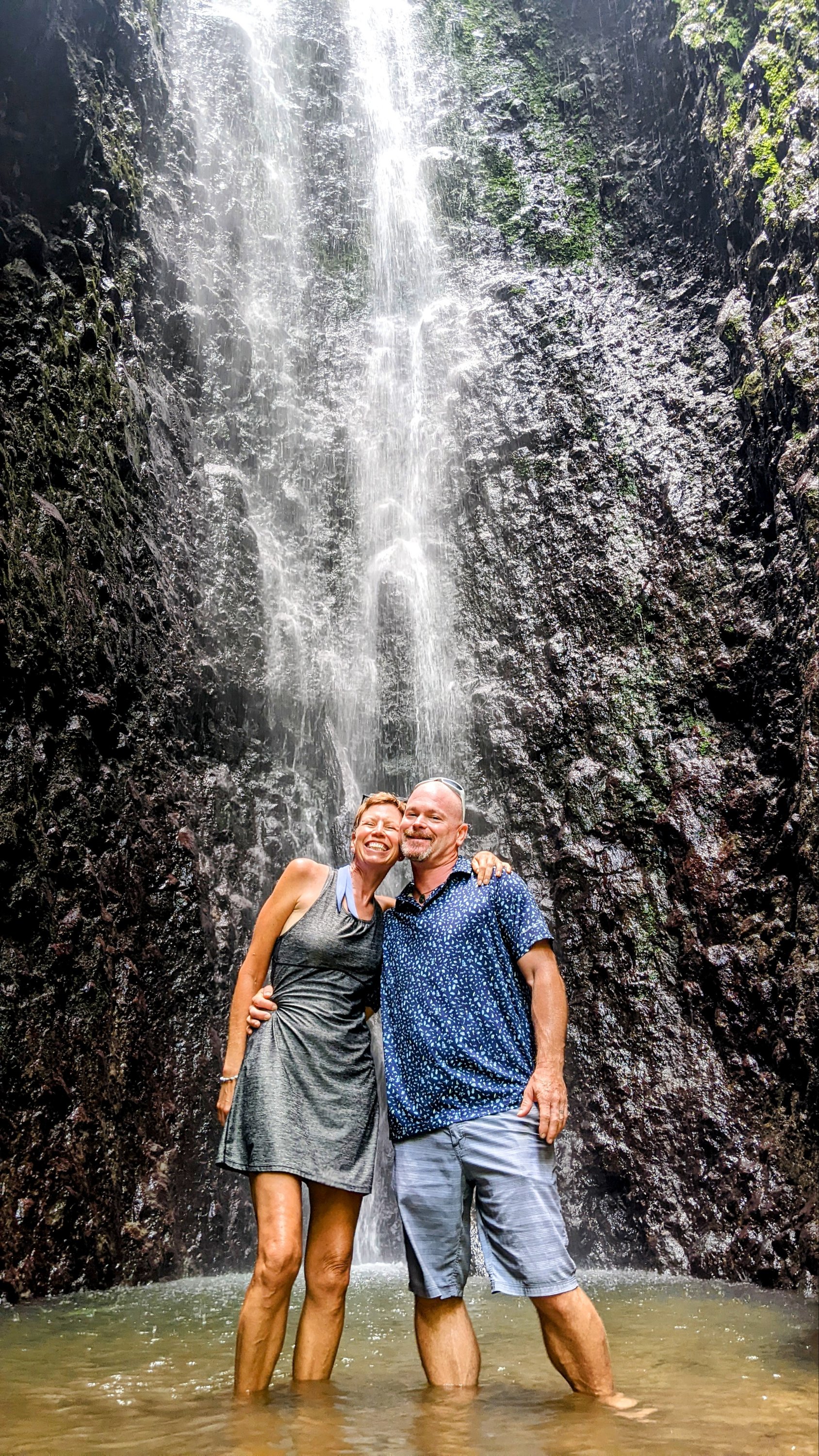
Seven volcanos make up Dominica, and there are signs of geothermal activity everywhere. At Cold Soutrière, we dipped our fingers into the bubbly, sulphuric-smelling mud pools and got up close and personal with the first volcano. It was the first stop on a tour of the northern part of the island where our guide, Winston, told us every stop would be “a surprise.” Personally, I prefer the joy of anticipation…and knowing whether I need to wear hiking shoes or flip flops for each walk. 🤣 It was a easy walk to our first Dominican waterfall of Bwa Nef, but not all of them would be so easy to find no conquer!
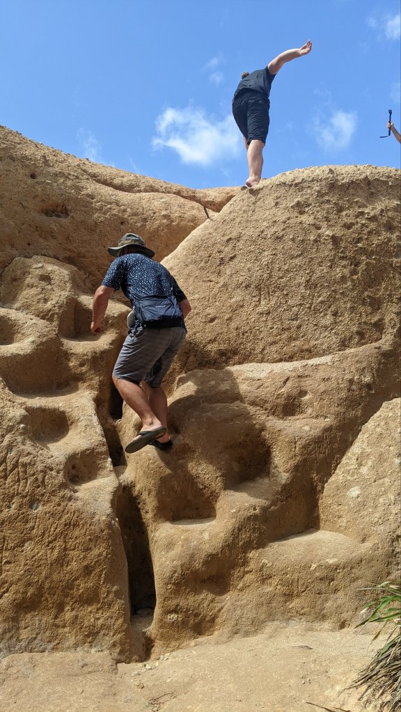
Red Rock looks a bit like the Flinstone’s town of bedrock. The iron in this soft, crumbly rock turns it a distinctive orange-red and allows the rain to crumble and carve it away, constantly changing the shape of the coast over time.
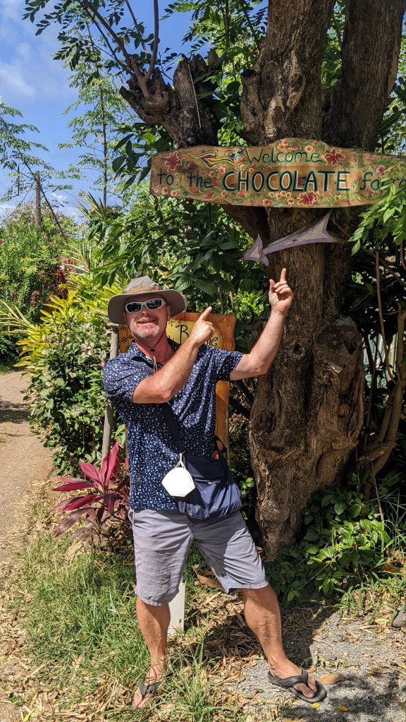
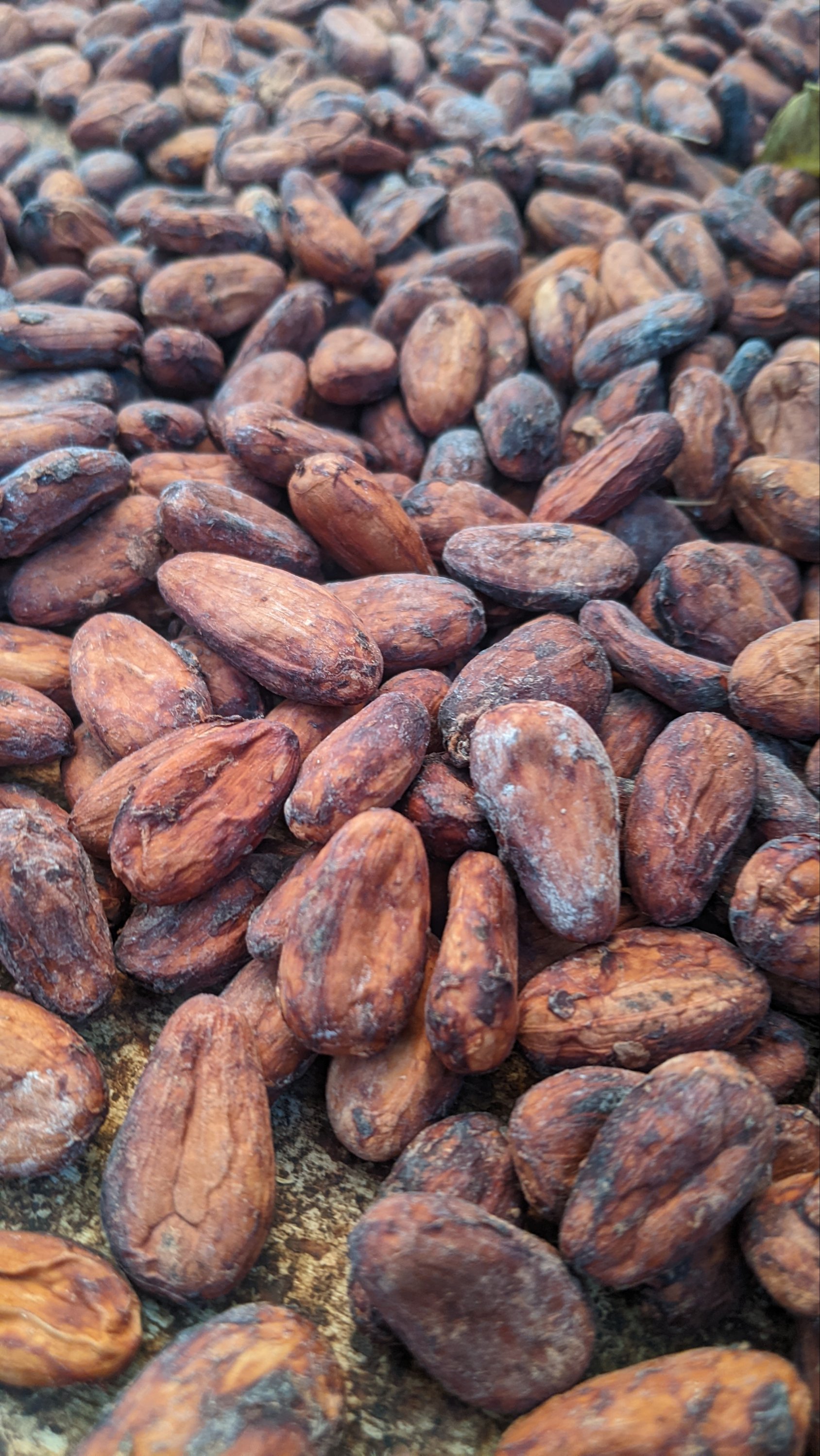
Capt. Mike was in heaven when we finally stopped at Pointe Baptiste Chocolate Factory. This small family business produces gourmet chocolate from organic cacao beans and cane sugar and local spices into chocolate bars and rum truffles. Oh my gosh, delicious!
Once we got Sanitas’ engine fixed, we didn’t waste any time! Laundry, groceries, filling the water and fuel tanks, moving from the marina to the anchorage…in about 24 hours we had Sanitas ready to move. A good weather window was coming up at the beginning of April and we wanted to be ready to take advantage of it.
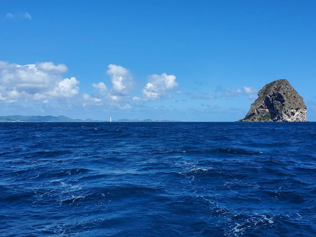
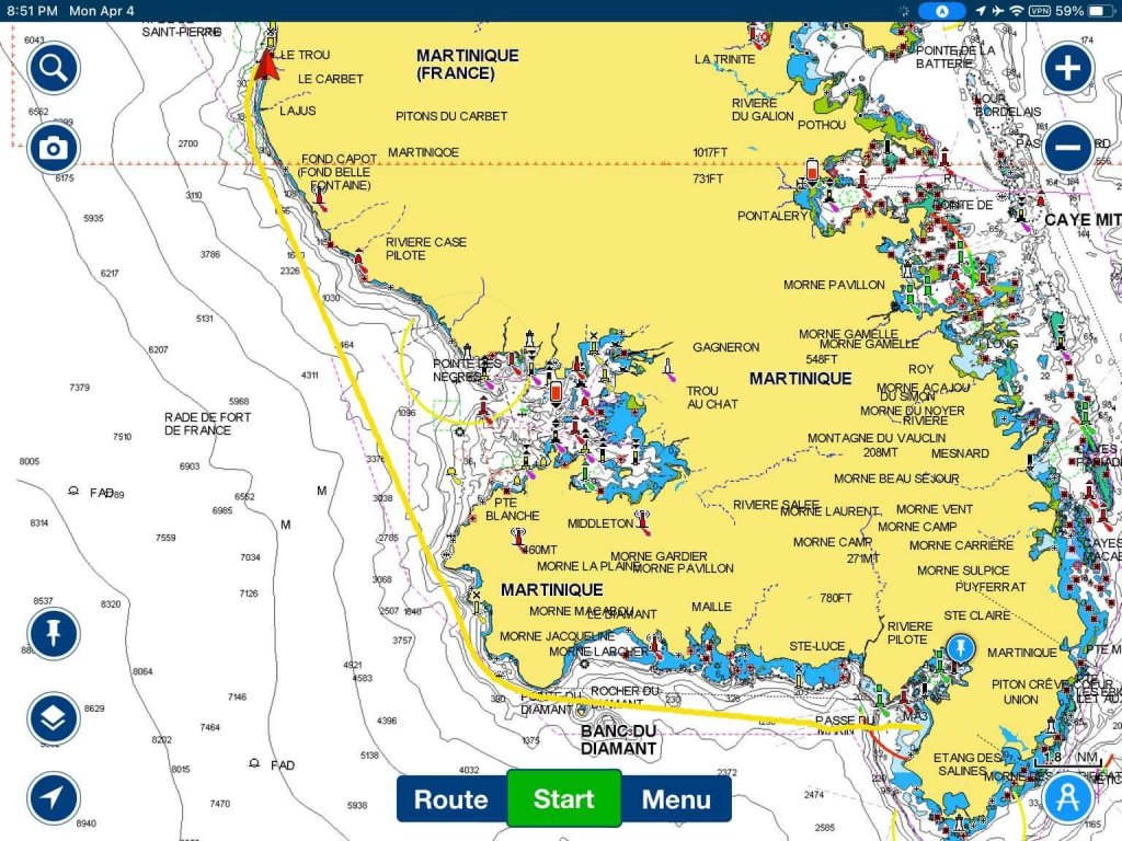
Take advantage of it we did! Around noon on Tuesday we raised anchor and started north. The engine purred like a kitten (or maybe more like a tiger) when we used it to navigate out of the anchorage and get ourselves on our point of sail. But as the Captain says, “We’re a sailboat!” and we didn’t use the engine for long. We had a glorious sail up the west coast of Martinique, past Diamond Rock, and anchored in St Pierre just before sunset.
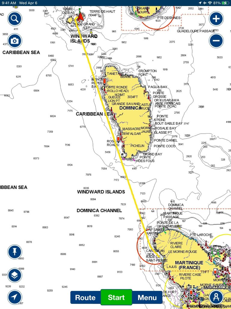
We set the alarm for 4am and were underway well before sunrise. Setting off in the dark is always a bit disconcerting, but the harbor in St Pierre is wide open with few hazards, so it wasn’t dangerous. We mainly had to watch out for fishing boats and floats for lobster pots. Sunrise at sea is always glorious, and this morning we even had a beautiful bright double rainbow to welcome us back to the sea.
Conditions were perfect for a fast, salty sail. We had easterly winds pretty consistently from 90 degrees between 12 knots and 20 knots. However, we encountered a lot of variation in conditions as we traveled part of the day between the islands of Martinique and Dominica (where seas can be quite big, and winds are strong and sometimes swirl as they are funneled between the islands) and partly in the leeward protection of mountainous Dominica (where wind and waves were lighter, and we actually had to motor sail for about an hour when we had no wind at all). Capt. Mike was kept on his toes putting in reefs and shaking them out. Bringing out the headsails and furling them in. We both ended up with callouses as our soft little hands had to become accustomed to line handling again.
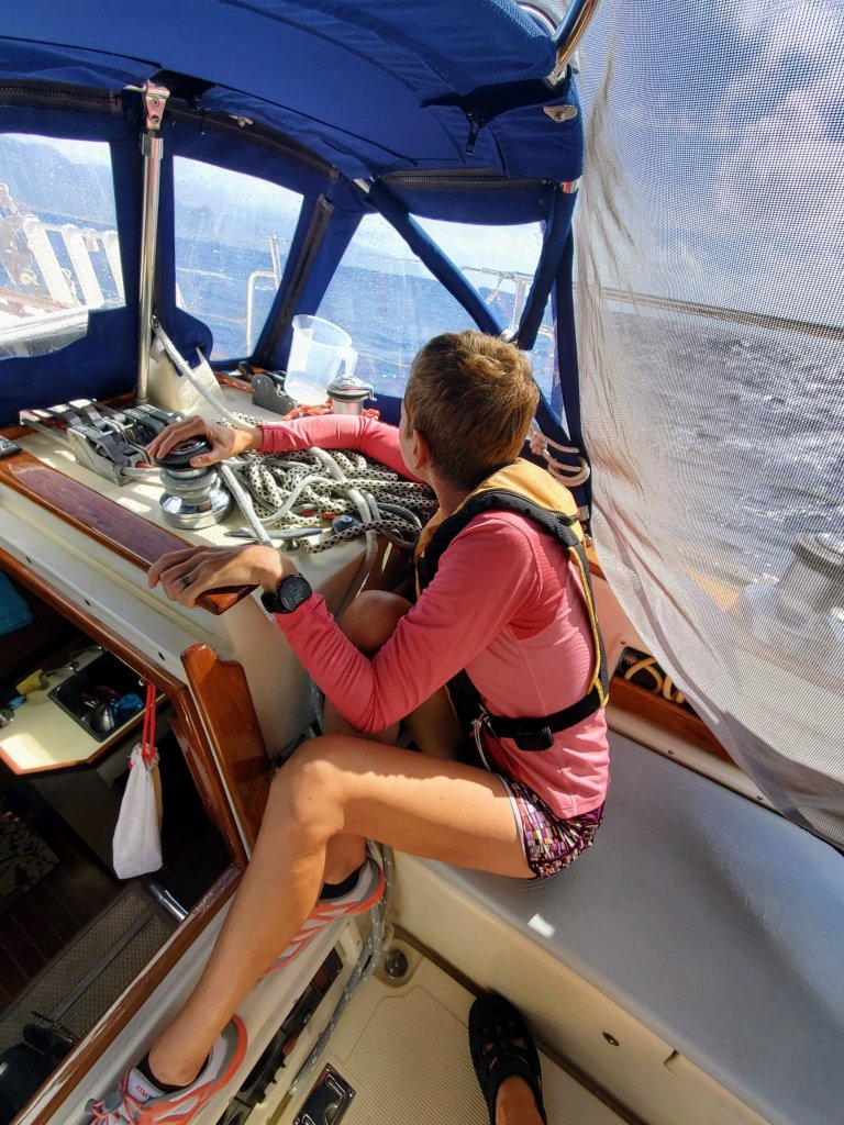
Seas hit us on the beam which makes for a very rocky and rolly ride. There was a period of about an hour when we experienced the worst of the wind funneling effect with consistent 29 knots and I mostly just held on for a very wild ride. Capt. Mike took a picture of me in what he calls my gecko pose. You probably can’t tell from this photo but we are heeled over about 30 degrees so I’m bracing myself with my legs and holding onto the companionway and the winch. I’m kind of huddled in the protection of our bimini because waves on the beam create a great deal of splash.
Speaking of splash! We had a huge wave hit us without warning, and Mike and I were both soaked. The cockpit was swamped – good thing we have good scupper drains – and both bilge pumps turned on, and an alarm started beeping loudly. The worst part of the chaos was that we had forgotten to close the companionway with the sliding boards. So at least a couple of liters of that huge wave ended up with in the cabin. We spilled a bit of wind off the main and once I was sure that the Captain had things under control, I went below to survey the damage. Bilge pumps seemed to be doing their job. The alarm came from the lpg propane gas sensor, so I turned the propane solinoid off at the breaker panel. Mike disconnected it back at the tank just to be sure. I mopped up the saltwater lake on the cabin sole, rolled up the rugs, and did my best to dry off the port settee. I wiped down the breaker panel and port bulkhead. It’s the first time ever that I had to wash saltwater off the INSIDE of the portlights as well as the outside. Looking back on it, we weren’t in danger, but things were pretty darn exciting for a while.
Speaking of water in the cabin, I found a new leak, or what sailors call euphemistically “saltwater incursion.” I noticed that small drops of water were landing on the cushions of the port settee. I first thought that we hadn’t closed the cowl vent well enough. Nope. Watching for a while, I observed a drop forming on the zipper of the headliner, growing, growing, and then falling onto our lovely comfy couch. Darn it! That’s a problem to investigate for another day.
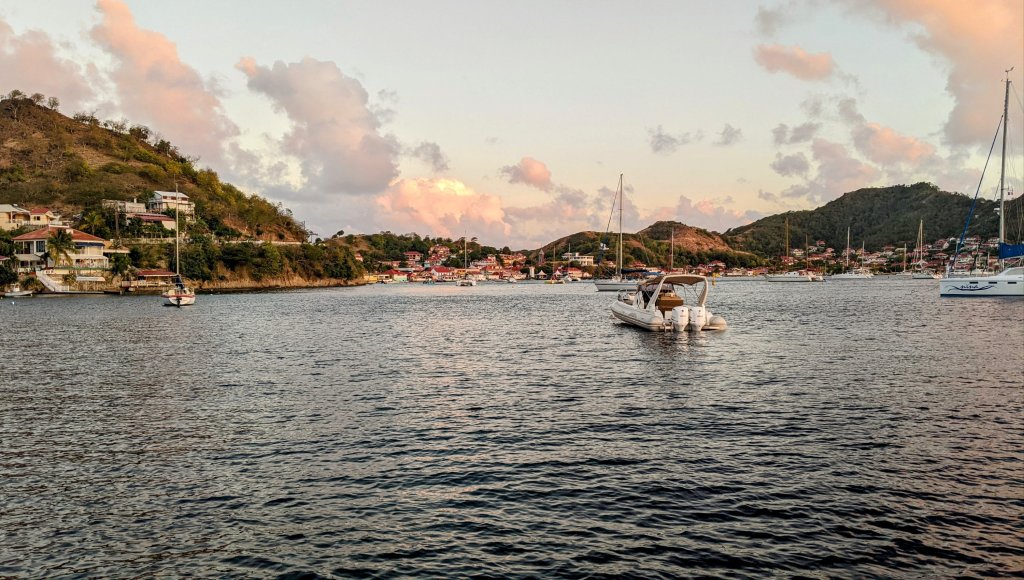
All in all, we averaged over 6 knots today which is crazy fast for little Sanitas. We made it to the mooring field near Terre-de-Haut in The Saintes, Guadeloupe with plenty of time to pick up a ball before sunset. After a day and a half of very active sailing, we were much too tired to go ashore. But after taming the chaos of the boat a bit, we could enjoy a magical view of the island during dinner and then a well-deserved early bedtime.
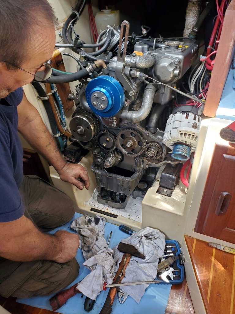
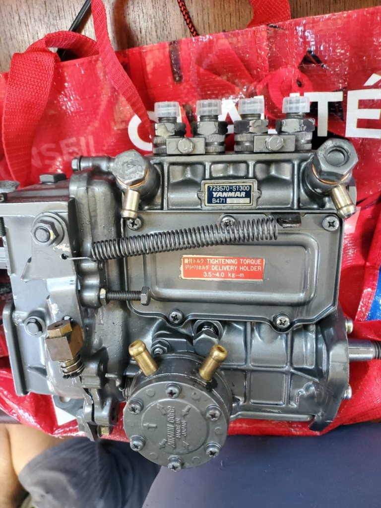
After two weeks of recovery from Covid and two additional weeks of waiting for our fuel injector pump to be rebuilt (and a lot of stops by the mechanic’s office, asking if there was any news) our diesel engine is back together!
Monsieur Rubin of Mechabat told me that the clean and shiny refurbished fuel injector pump is “bijoux” or jewelry for Sanitas. He spent two hours contorted into the tiny engine compartment grunting and swearing, finding the parts that fell to the bottom of the space, bleeding the fuel lines… And finally telling Capt. Mike to start her up. She started on the first try! Apparently, mechanics in France have the same saying as they do in the USA, “There’s always one part left over” and Rubin explained that the one bolt remaining in the Tupperware containers wasn’t that important. I hope he’s right 🤪
We had already taken advantage of our proximity to Le Marin to buy groceries, do laundry, and take lots and lots of warm showers. All we needed to do was pay for our mooring ball (€110 euros for the month) fill up our water and fuel tanks, and we were free!!! Where to next, Sanitas?
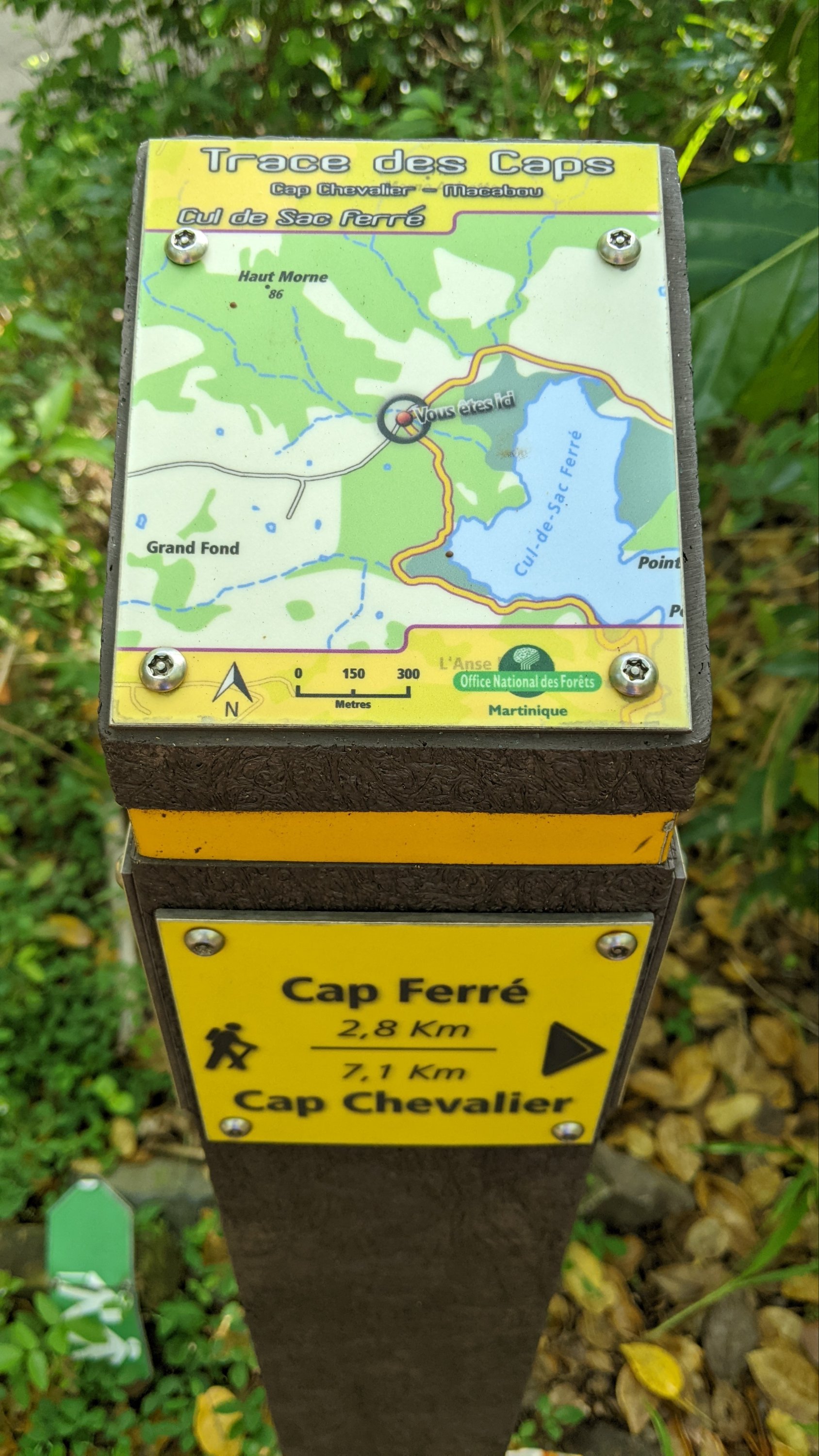
We’ve made it a goal to hike as many trails as possible during our long stay here in Martinique. If you follow me on Instagram @jennbsmiles, you’ll know we ticked quite a few off our list when we shared a rental car with friends on SV Aphrodite. But with our engine problems and getting sick and all, we kind of fell off the fitness wagon. So, over the past ten days or so, we built up our strength with 3-mile road walks around the marina, and with climbs up the local viewpoint of Creve Coeur, and finally this weekend with a big adventure on the Sentier Trace des Caps (Trail of the Capes). We’d hiked the southern leg of this epic hike when we were anchored in Ste Anne. In fact, we hiked the three-mile section from town to gorgeous Plages des Salinas frequently. But, as you get farther north, it gets more complicated to get to the trail without a car. We persevered though!
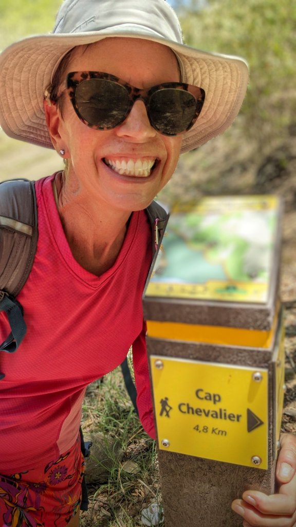
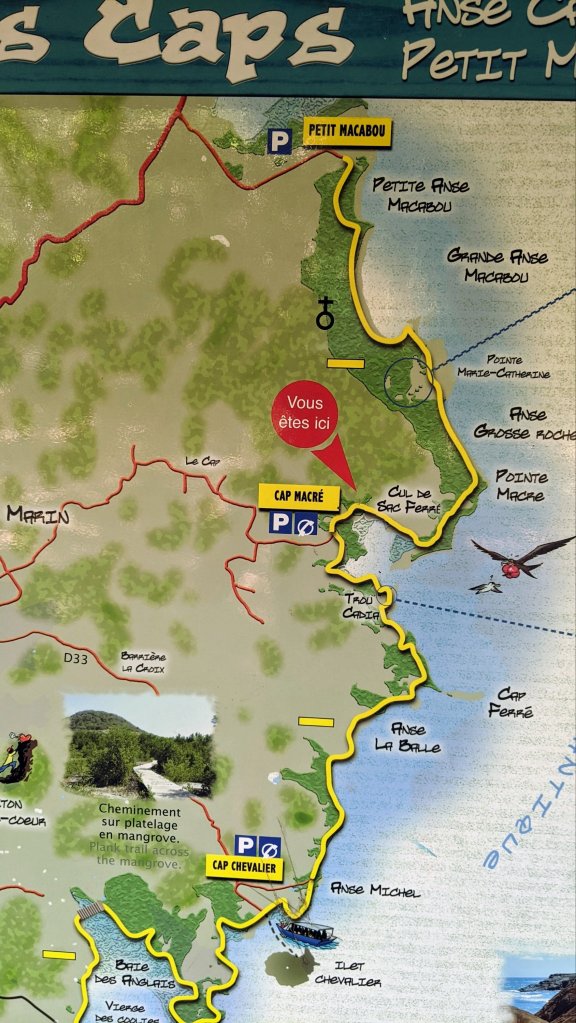
We packed our bags the night before, and for the first time in ages, set an alarm for 6am. We dinghied to shore, walked three quarters of a mile to the bus stop, and crossed our fingers. The #27 bus arrived and for €1.50 per person, we were off! However…. I didn’t exactly know which stop we wanted on this winding rural loop. And I don’t know enough French to have a conversation along the lines of “We want to hike the Sentier Trace des Caps. I know the bus doesn’t go all the way to the start of the trail. But could you let me know when you stop as close as possible to the coast and we’ll walk from there?” Somehow we managed. I showed the young lady checking tickets my map and she and the driver had a long back and forth in French. I think he actually went out of his way and took us a bit off the official bus route to drop us off on a road that ends at the trail head. People are so nice!
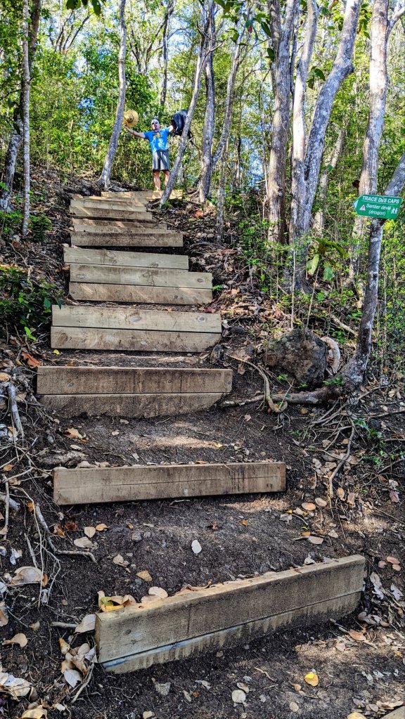
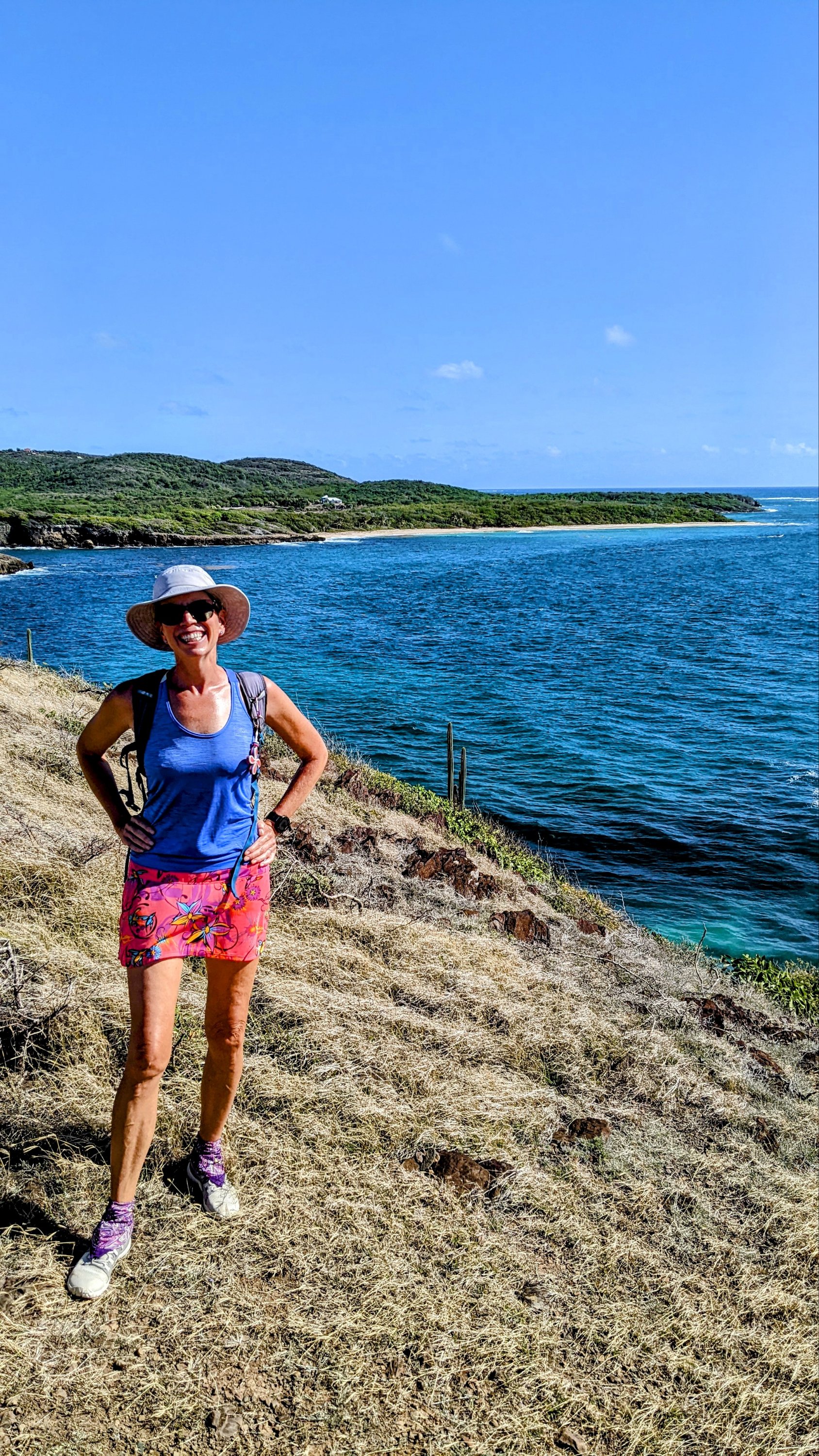
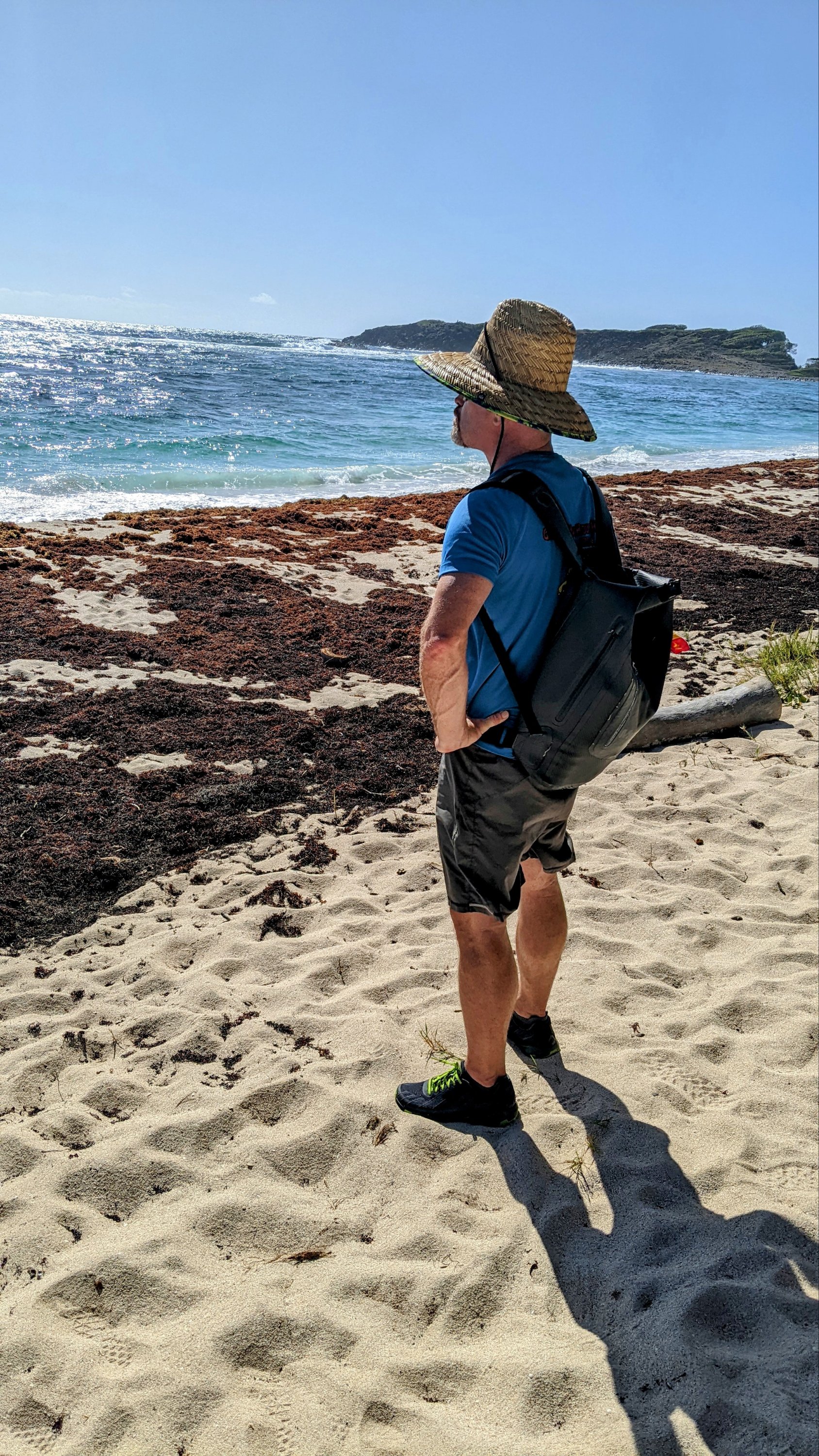
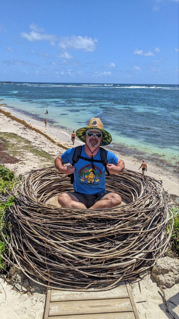
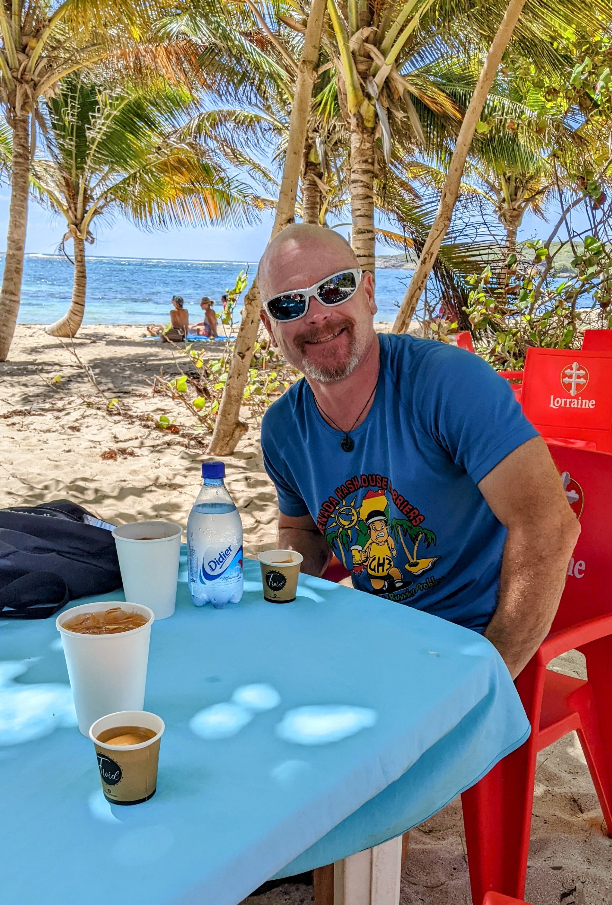
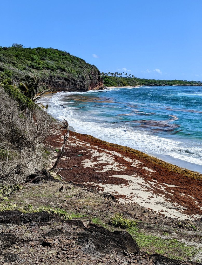
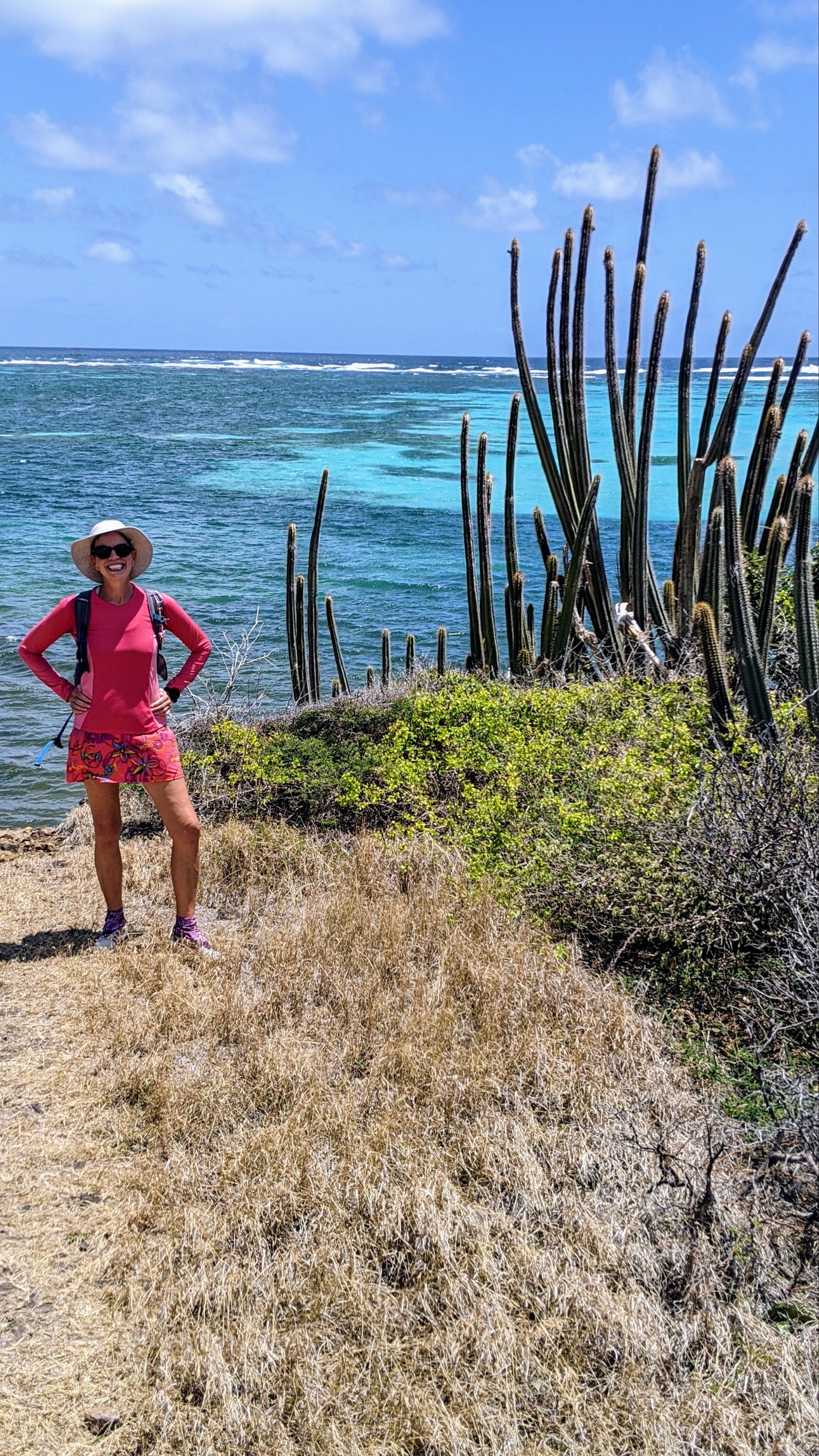
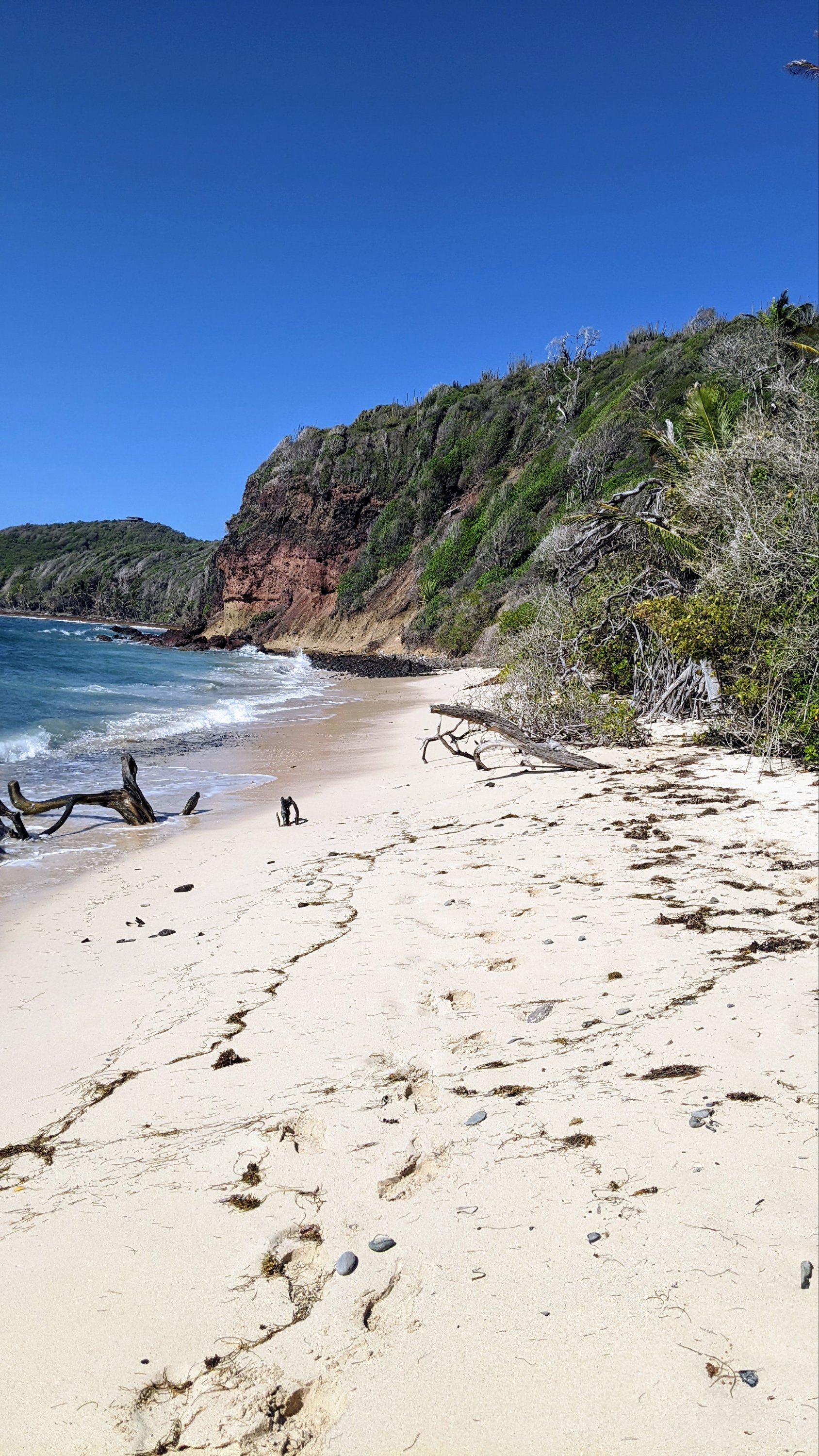
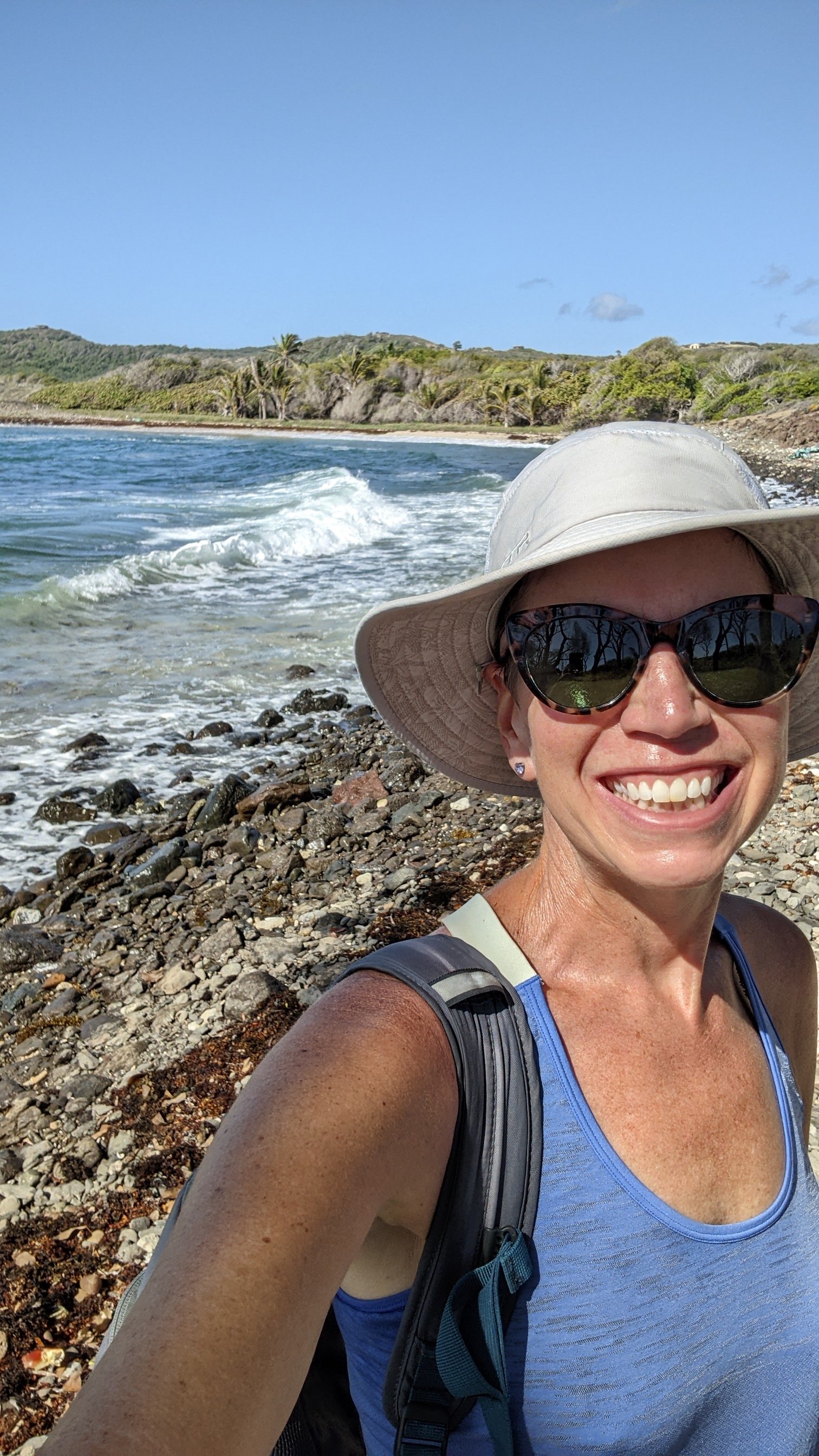
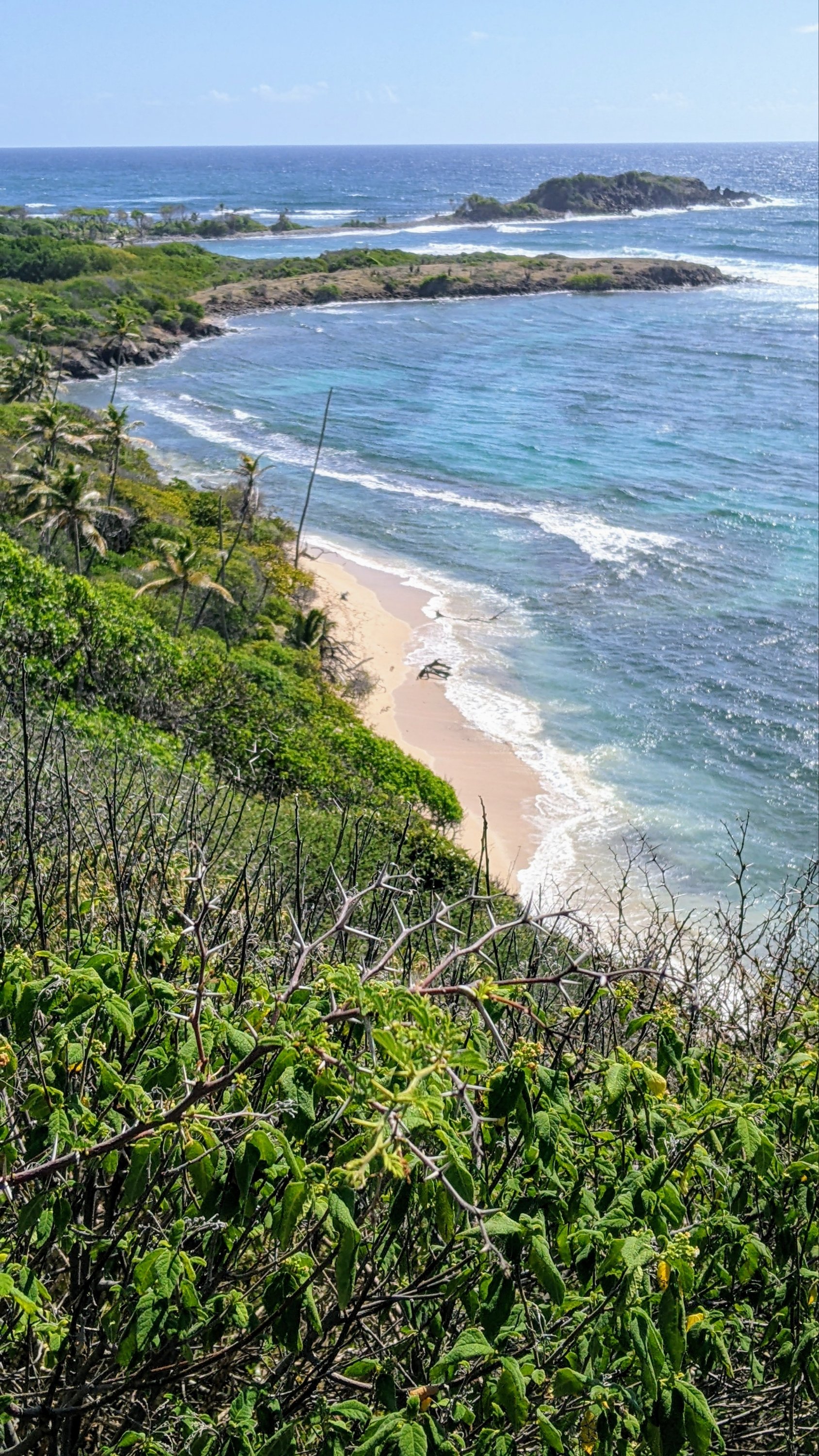
French hiking trails are amazing! They are well maintained, with water bars, steps, and sometimes even boardwalks. They are marked with signposts about every half-kilometer and with very clear paint marks on trees and rocks. This trail isn’t very technically difficult. It follows the coastline closely, sometimes along sandy beaches and sometimes through mangrove forests. At the end of each beach, you climb a headland for wonderful views of where you’ve been, and where you’re going. Much of the hike is exposed and very hot (as you can tell by the photos of happy little cacti) We wore our broad-brimmed sun hats and even a long sleeved sun shirt at times and we drank A LOT of water. About halfway through the hike, we came upon an oasis. After a couple hours of seeing almost no one in the beautiful wilderness, we stepped out onto a beach with a road and a parking lot nearby. Being a Saturday, we were suddenly surrounded by sun bathers, selfie takers, wind surfers, and …. beach bars! I ordered “beaucoup de boissons”: a coffee for each of us for that caffeine boost, a planteur for each of us with its refreshing ice cubes and fruit juice sugar for energy, and a small Didier to share – because you can never have too much water! I had to force us to start walking again before we got too comfortable and started ordering ti punches and gave up on the hike all together.
A couple more hours of hiking and we reached massive Baie d’Anglais. I’ve read that you can bring your sail boat here in settled weather but, boy! I didn’t see a gap in the reef big enough that I’d feel comfortable sailing through. This is where we ended our hike on the southern segment of the Trace des Caps. Hooray! Mission accomplished! However, choosing to end your hike in a mangrove swamp far from civilization means there’s still a long road walk ahead of you to get back home. We continued on through green farm fields and past huge white cows until we finally reached the main road between Sainte Anne and Le Marin…and learned that we had missed the bus by about 15 minutes. Darn beach bar oasis!
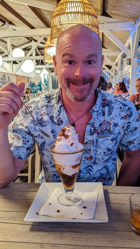
We used the French version of a hitchhiking signal (one hand out, index finger pointing down toward the pavement) and hoped for the best. Wonder of wonders! An English speaking French woman from St Barts stopped to pick us up and dropped us off right at the marina. And she also gave a ride to a local Martinique man who had done the Camino de Santiago across Spain the year before we did! Crazy cooincidence. All in all, we walked about 12 miles with tired feet, but no blisters. Capt. Mike definitely earned his rhum raisin and almond ice cream sundae.
One of our favorite things to do on Bequia is to go on long walks, ending in beautiful vistas. On this trip, it was particularly attractive to get off the boat and go for a walk to escape the sawdust, smell of varnish, and chaos in the cockpit as our big brightwork project progressed. About every other day, we’d eat breakfast, welcome Winfield to the boat and get him all set up for the day’s work, put a couple of Hairoun beers in a cooler for him, and off we’d go!
The easiest hike is a road walk to Fort Hamilton on the northwest side of Admiralty Bay. I can do this one in flip flops with only the tiniest blisters ensuing. But it’s lovely to sit in the shade and the breeze and watch the water from the ruins of the fort. One unique feature of Fort Hamilton shows the strange colonial history of the island. Two of the five cannons in place are French, while the other three are English!
View from Fort HamiltonWaving goodby to Bequia
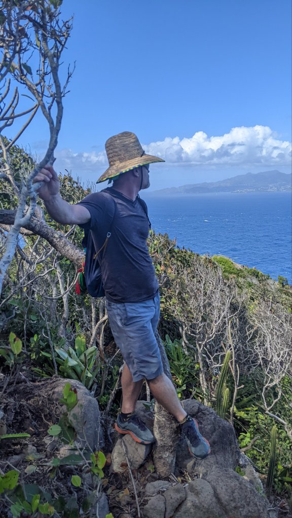
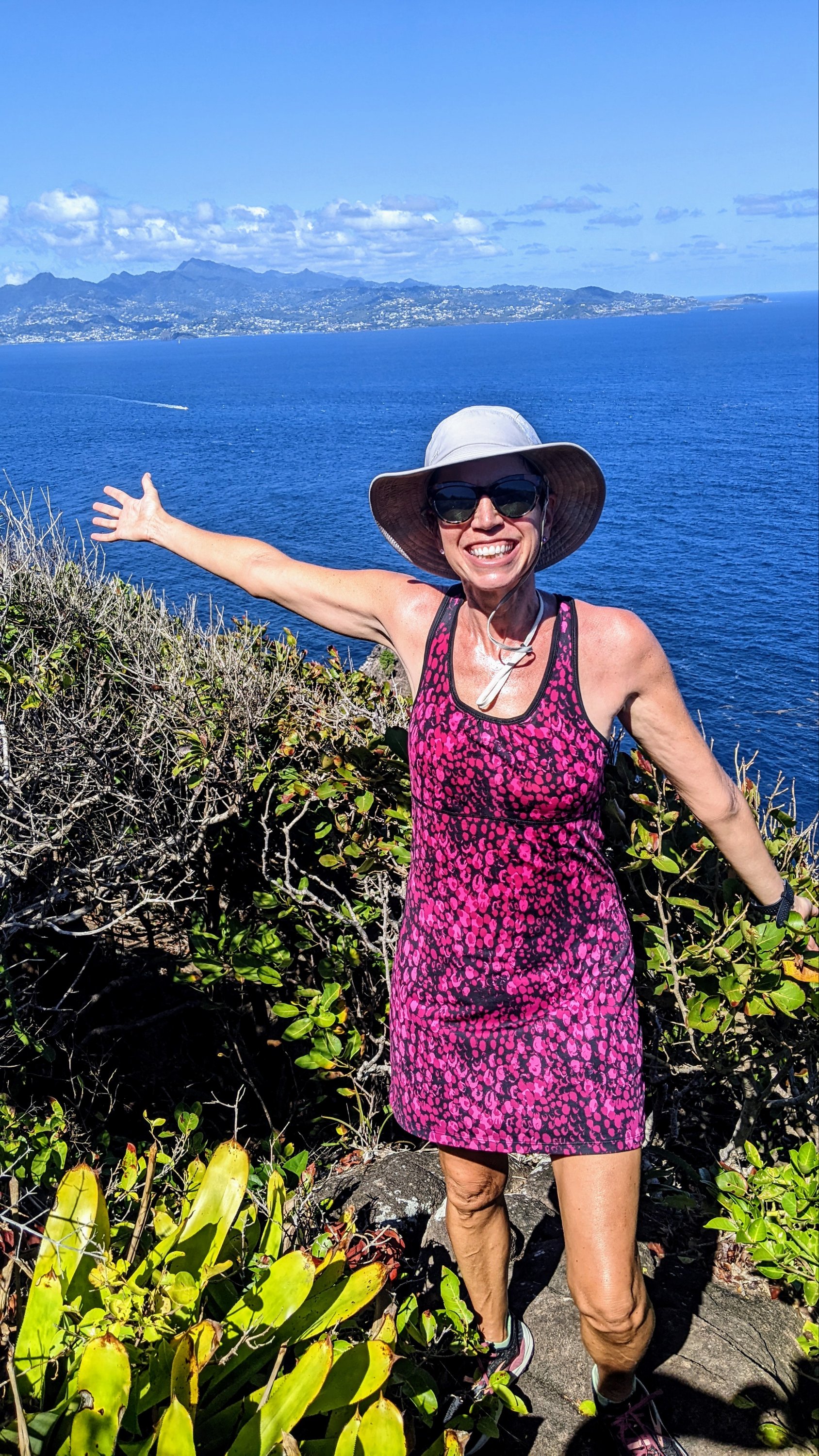
Alternatively, you’d better wear comfy shoes and bring a lot of water for the hike to North Head. The daytime temperatures are usually around 85deg Fahrenheit in December, so the first time Capt. Mike and I did this 9-mile walk it felt like a death march. But the views of the big island of St Vincent are so gorgeous, and the final couple of miles of dirt trail through the forest so lovely, we had to try it again a week later. As an added bonus, you get to check out the sea state on the rougher ocean side of the island from a safe distance – it made us really appreciate the protection of Admiralty Bay where Sanitas floated safe and sound. Be warned, the trails turn into a confusing tangle at one point, so it’s a good idea to keep an eye out for the flip flop in a tree that marks the left turn 😜
St Vincent in the distanceWe made it!
I mentioned the walk to Spring View park in my last post about a magical Sunday. The views from the park are almost as good as those from North Head and it’s much shorter. We did this hike three times and highly recommend it for beginners. The walk is mostly on paved road with about a mile of gravel road, but don’t let that fool you into thinking it’ll be easy! Island roads aren’t built to contend with snow and ice, so they pretty much build ‘em straight up… and straight down!
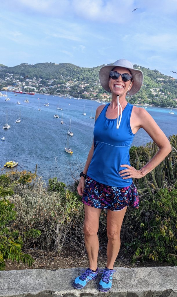
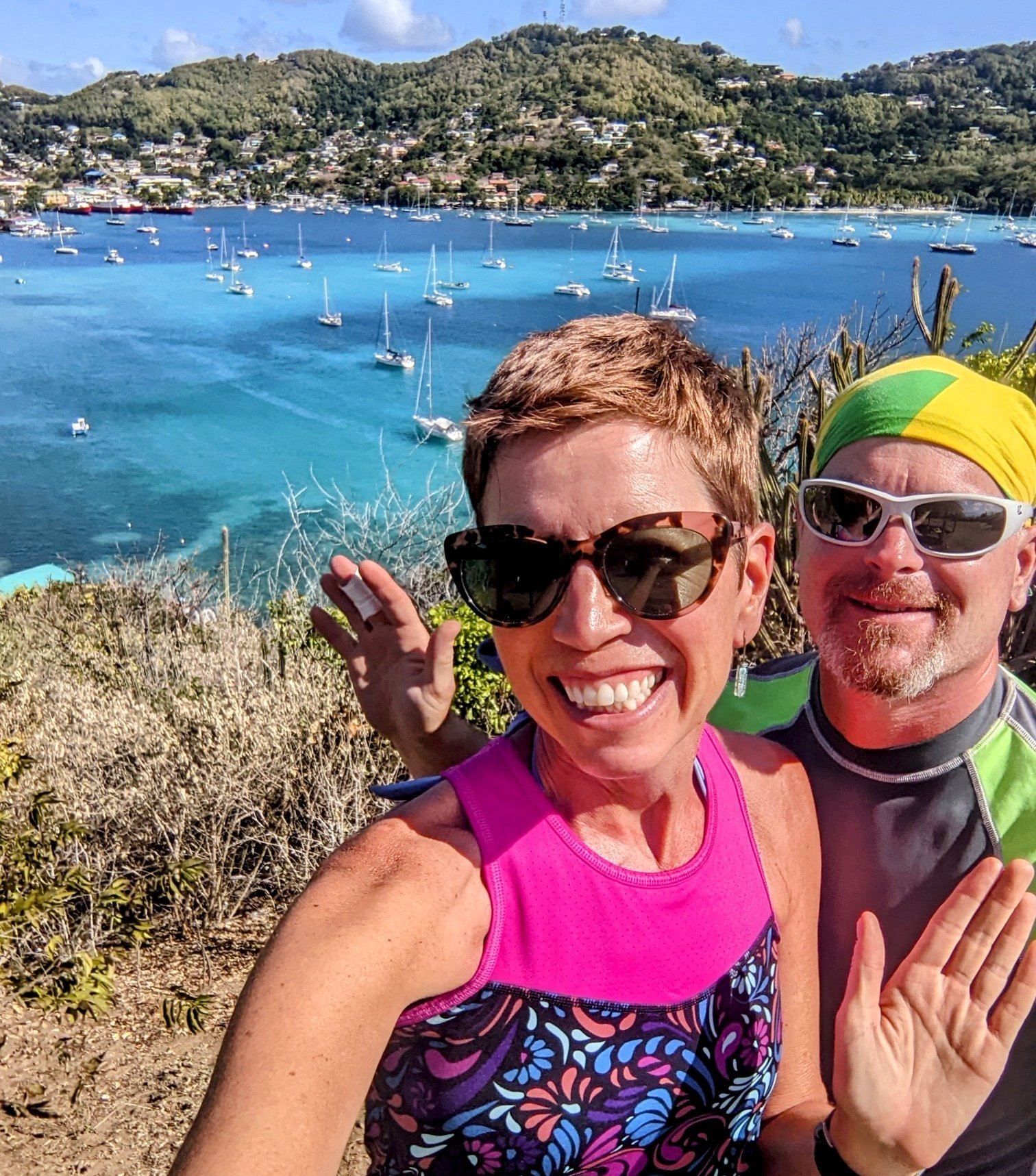
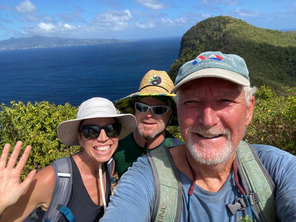
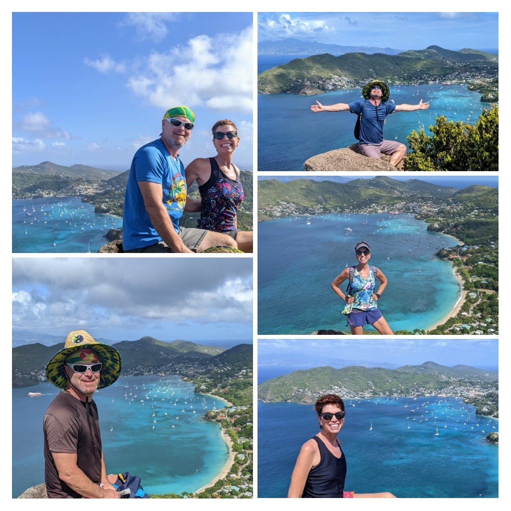
I’ve saved the best for last. The climb to Peggy’s Rock is short and sweet with a huge reward at the top. I do this one by myself just for a bit of exercise when the Captain is too busy with boat projects to join me. Even though I did this hike five or six times in the month we stayed on Bequia, I couldn’t resist snapping a pic or two of the majestic rock and the view of the bay each time. It’s fun to assess how crowded the anchorage is from this vantage point. We definitely saw a swell in numbers between Christmas and New Years, and then the crowds thinned a bit as cruisers went their separate ways. Capt. Mike dipped his toe into a second career as a tour guide on this one. A British family wanted to know how to find the trail to Peggy’s Rock so Mike offered to guide them if they’d pay for the taxi. He had to admit, “I don’t know the history of this walk, or the names of any of the trees or cactus you’ll pass, but I’ll get you up and back safely and you’ll love the views.” He received only positive reviews! Next time, I think he should just make stuff up, don’t you?
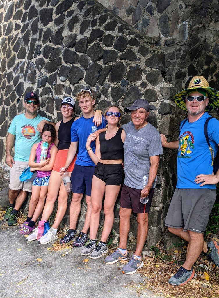
Our new hiking friends, aged 8 years to 75 yearsI didn’t want to bore you with Peggy’s Rock photos, so here’s a collage!
By the way, if you enjoy finding new hikes and walks while on vacation, I highly recommend an app named Wikiloc. It allows you to search for walks, bike rides, and even sails or kayak routes near you. When you find a route you like, you can follow it on your phone. The app vibrates and beeps to let you know when you’ve wandered off the trail, and lets out a celebratory “Ta-Da!” when you’ve retraced your steps and found it again. Also, maps.me is a great compliment to Google maps. It shows many more walking trails and paths than you’ll find on Google maps, and it’s easy to download the maps for the area that you’re visiting so you’ll have access even when you’re off line. I hope you enjoy these tips to help you get outside and explore wherever you travel. Have a nice walk!