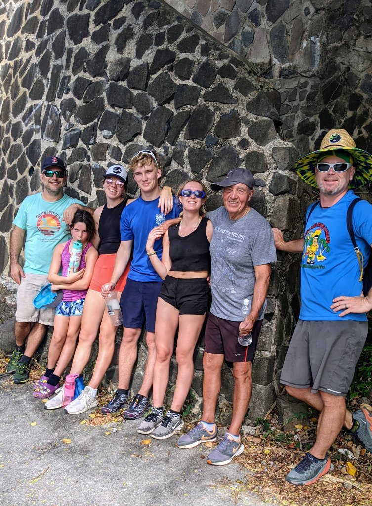
One of our favorite things to do on Bequia is to go on long walks, ending in beautiful vistas. On this trip, it was particularly attractive to get off the boat and go for a walk to escape the sawdust, smell of varnish, and chaos in the cockpit as our big brightwork project progressed. About every other day, we’d eat breakfast, welcome Winfield to the boat and get him all set up for the day’s work, put a couple of Hairoun beers in a cooler for him, and off we’d go!
The easiest hike is a road walk to Fort Hamilton on the northwest side of Admiralty Bay. I can do this one in flip flops with only the tiniest blisters ensuing. But it’s lovely to sit in the shade and the breeze and watch the water from the ruins of the fort. One unique feature of Fort Hamilton shows the strange colonial history of the island. Two of the five cannons in place are French, while the other three are English!
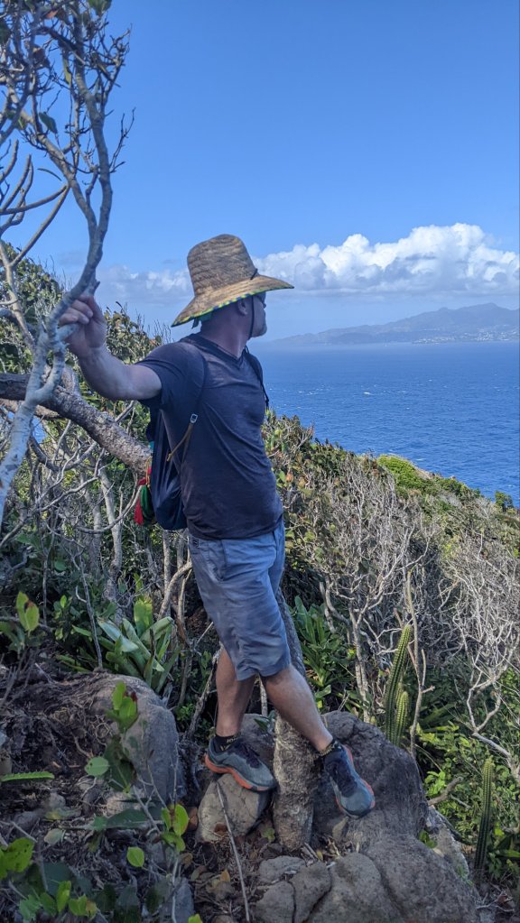
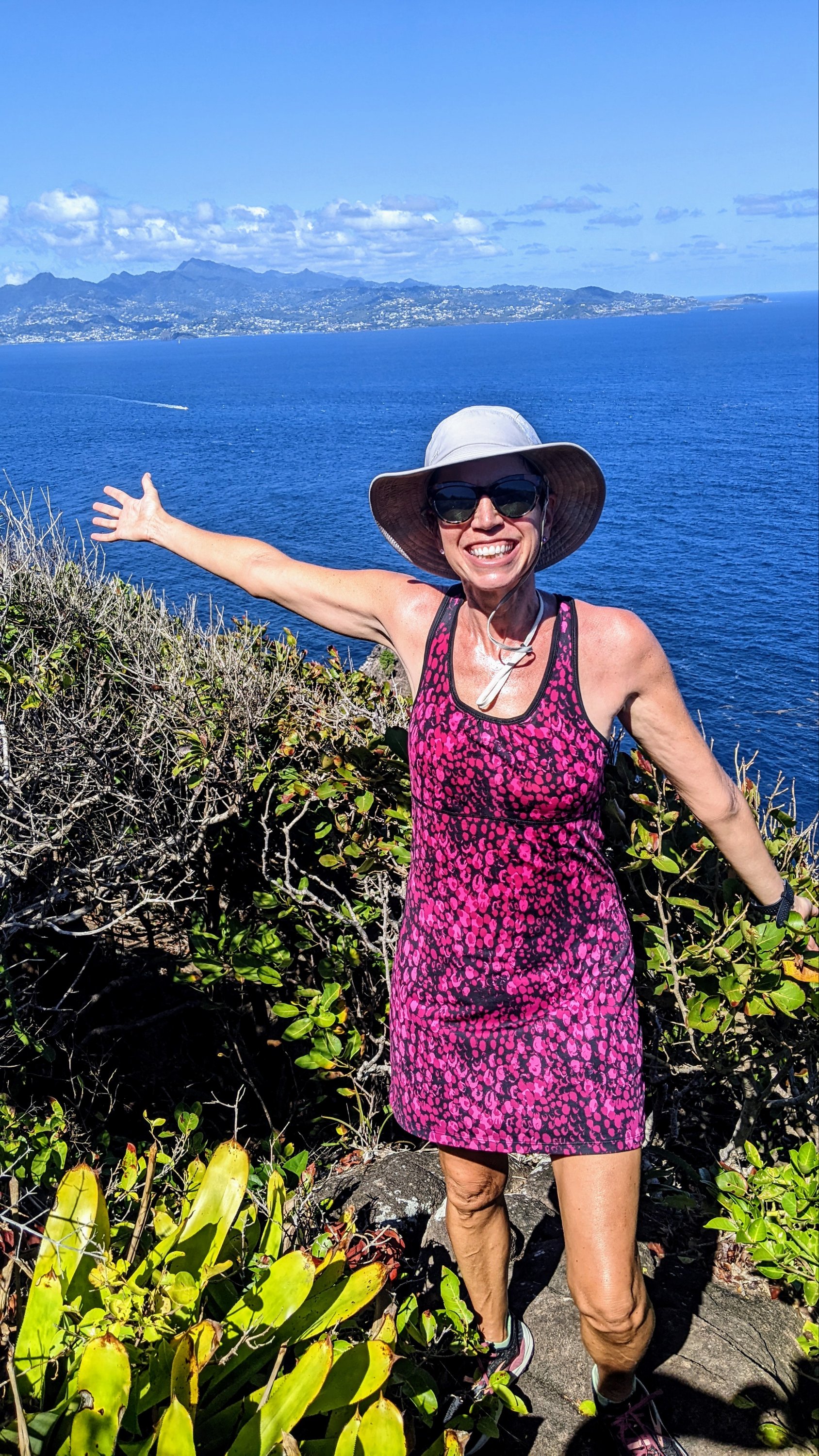
Alternatively, you’d better wear comfy shoes and bring a lot of water for the hike to North Head. The daytime temperatures are usually around 85deg Fahrenheit in December, so the first time Capt. Mike and I did this 9-mile walk it felt like a death march. But the views of the big island of St Vincent are so gorgeous, and the final couple of miles of dirt trail through the forest so lovely, we had to try it again a week later. As an added bonus, you get to check out the sea state on the rougher ocean side of the island from a safe distance – it made us really appreciate the protection of Admiralty Bay where Sanitas floated safe and sound. Be warned, the trails turn into a confusing tangle at one point, so it’s a good idea to keep an eye out for the flip flop in a tree that marks the left turn 😜
I mentioned the walk to Spring View park in my last post about a magical Sunday. The views from the park are almost as good as those from North Head and it’s much shorter. We did this hike three times and highly recommend it for beginners. The walk is mostly on paved road with about a mile of gravel road, but don’t let that fool you into thinking it’ll be easy! Island roads aren’t built to contend with snow and ice, so they pretty much build ‘em straight up… and straight down!
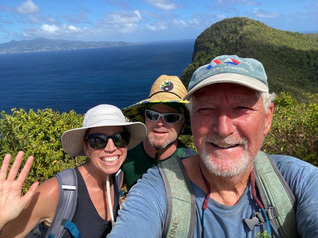
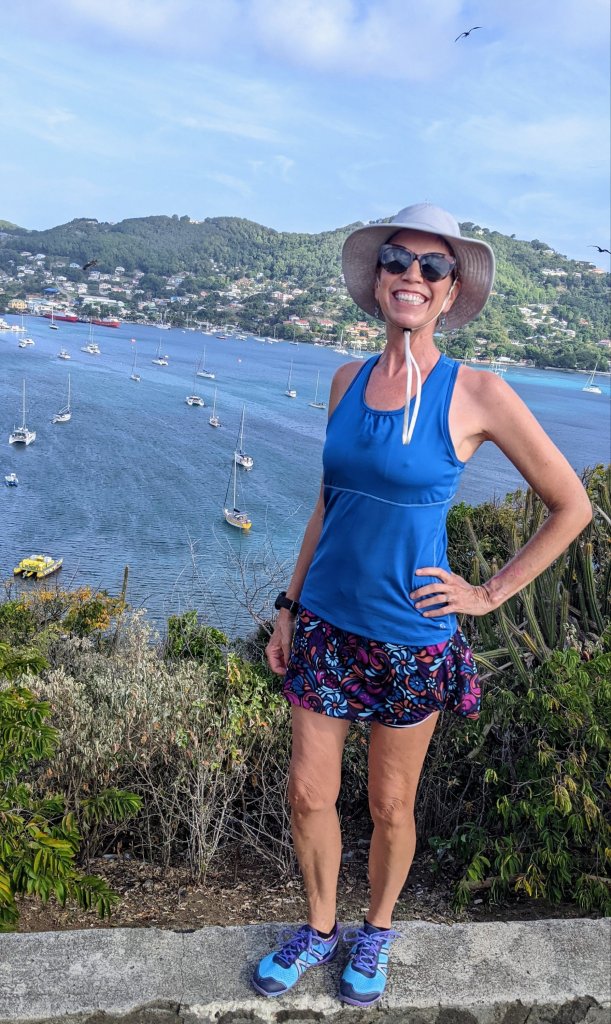
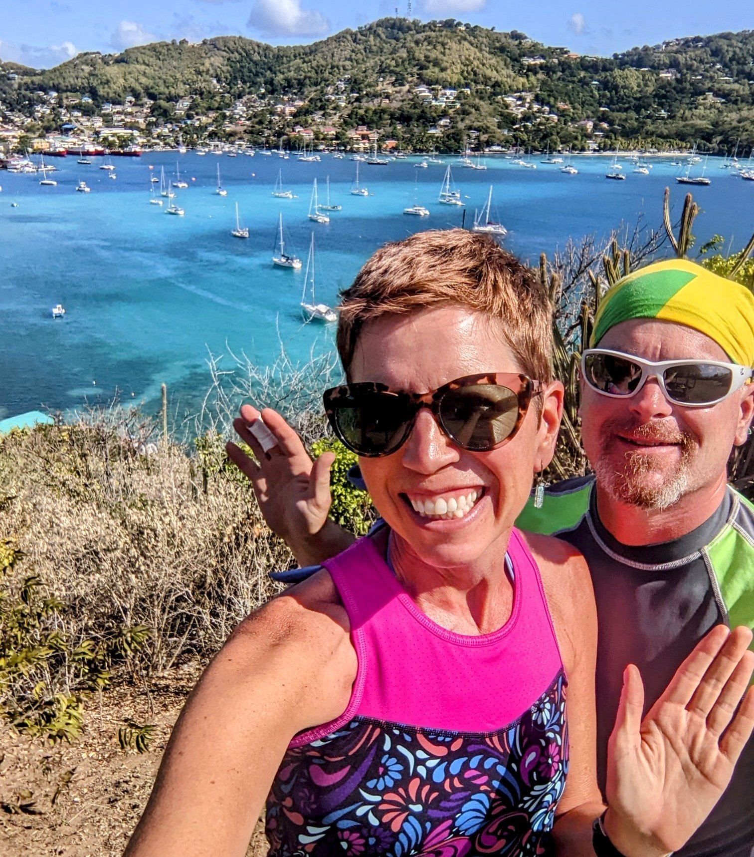
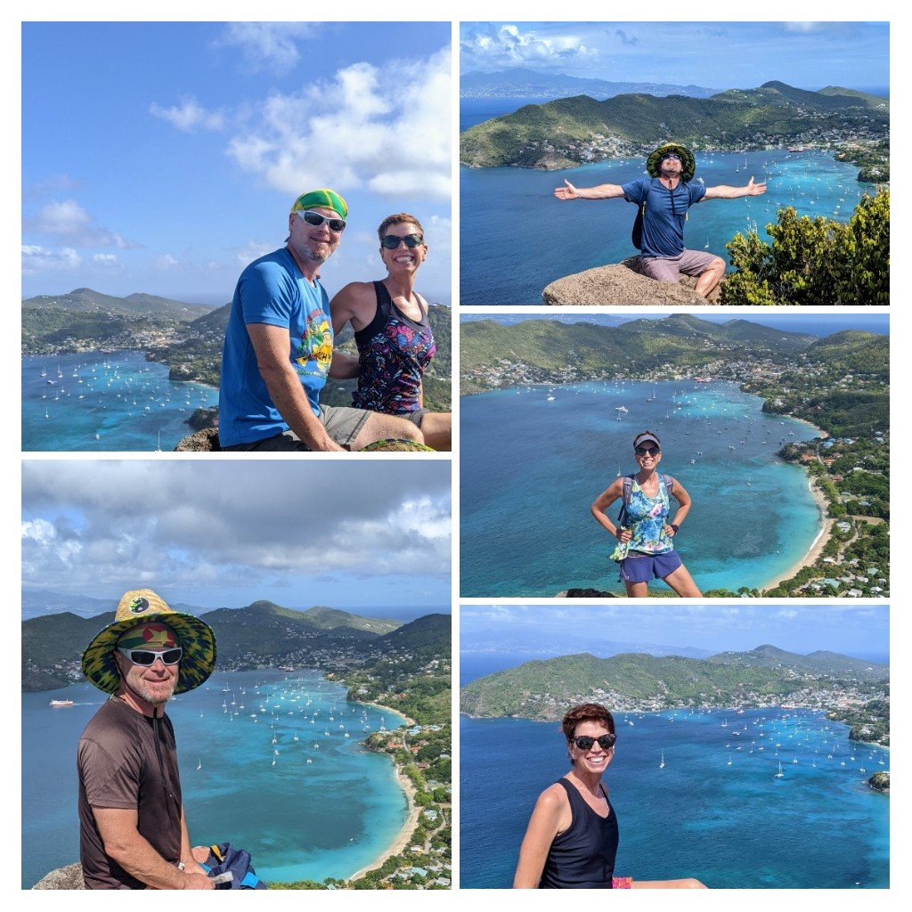
I’ve saved the best for last. The climb to Peggy’s Rock is short and sweet with a huge reward at the top. I do this one by myself just for a bit of exercise when the Captain is too busy with boat projects to join me. Even though I did this hike five or six times in the month we stayed on Bequia, I couldn’t resist snapping a pic or two of the majestic rock and the view of the bay each time. It’s fun to assess how crowded the anchorage is from this vantage point. We definitely saw a swell in numbers between Christmas and New Years, and then the crowds thinned a bit as cruisers went their separate ways. Capt. Mike dipped his toe into a second career as a tour guide on this one. A British family wanted to know how to find the trail to Peggy’s Rock so Mike offered to guide them if they’d pay for the taxi. He had to admit, “I don’t know the history of this walk, or the names of any of the trees or cactus you’ll pass, but I’ll get you up and back safely and you’ll love the views.” He received only positive reviews! Next time, I think he should just make stuff up, don’t you?
By the way, if you enjoy finding new hikes and walks while on vacation, I highly recommend an app named Wikiloc. It allows you to search for walks, bike rides, and even sails or kayak routes near you. When you find a route you like, you can follow it on your phone. The app vibrates and beeps to let you know when you’ve wandered off the trail, and lets out a celebratory “Ta-Da!” when you’ve retraced your steps and found it again. Also, maps.me is a great compliment to Google maps. It shows many more walking trails and paths than you’ll find on Google maps, and it’s easy to download the maps for the area that you’re visiting so you’ll have access even when you’re off line. I hope you enjoy these tips to help you get outside and explore wherever you travel. Have a nice walk!

Sounds like some lovely days! Some hikes easier than others obviously. Thanks for the tips on the apps, I am going to download them when I head south. Should prove to be interesting! Keep living the dream you guys 💞
LikeLiked by 1 person
Now we are in “civilization” in Martinique and trails are actually marked with signs and mileage and maps instead of flip flops. It’s a while new world!
LikeLike
Now that we are in “civilization” in Martinique, the trails are marked by signs and maps instead of flip flops. What a change!
LikeLike
We’ve downloaded both of your recommended apps in hopes we’re able to use them for a proposed trip to Bali this summer. 🤞🏻🤞🏻🤞🏻
Thank you and keep blogging – we love it!
LikeLiked by 1 person
Wow, Bali! Sounds wonderful! I hope you have a great trip!
LikeLike
Another wonderful blog post!!
LikeLiked by 1 person
Thanks Gidge!
LikeLike