Into the clouds…

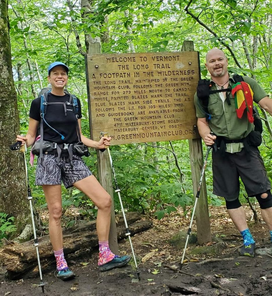
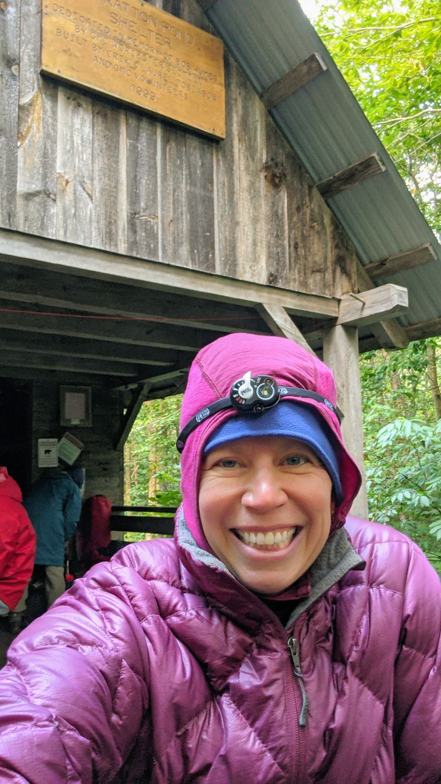
Capt. Mike and I last climbed the La Soufrière volcano on St Vincent 20 years ago, so of course my memories of it are SHARP! Just kidding. My memories of that hike are actually as foggy as the thick clouds at the top of a volcanic mountain. So when Peter on SV Bakoua organized a trip to climb La Soufrière, we jumped at the chance to join.

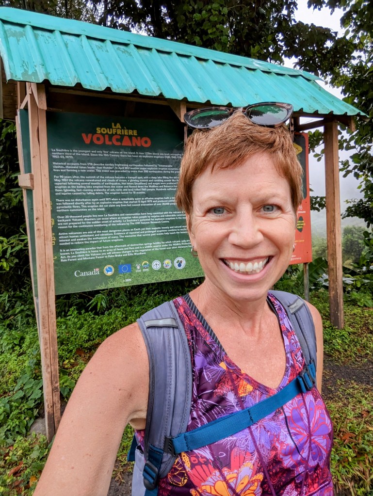
For the first time in ages, we set an alarm for 5:00 am in order to take the 6:30 ferry from Bequia to Kingston, St Vincent. Oof, that’s a rough start to the day! And a rough passage crossing the channel between the islands. Jimmy met us at the ferry terminal with his big white van (after another taxi driver tried to poach us: “Who you waiting for? Jimmy? I know Jimmy. He tell me to pick you up”. Yeah, right!) It took about an hour and a half to drive up the east coast of St Vincent with Jimmy pointing out some of the changes since we last visited just before the volcano erupted in April 2021. We turned off the main road onto a skinny, bumpy track heading inland, past the sign saying “Volcano trail temporarily closed” 😆 We were the first bus to pull into the parking lot – yay! no cruise ship crowds!

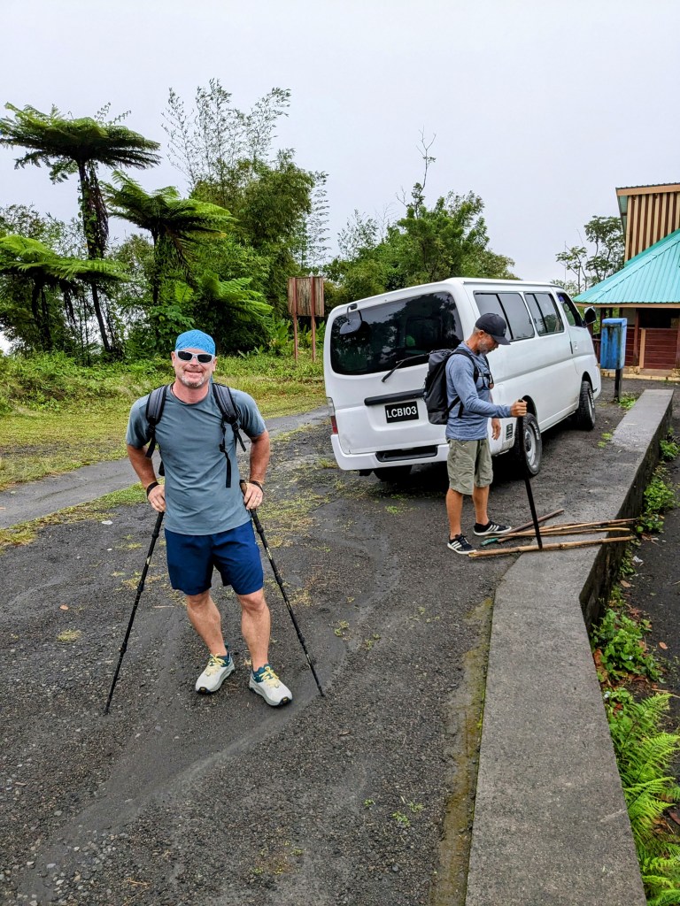
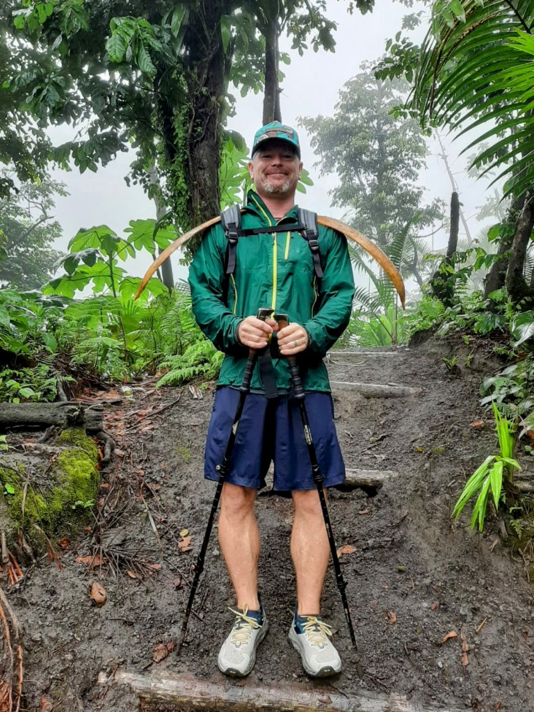
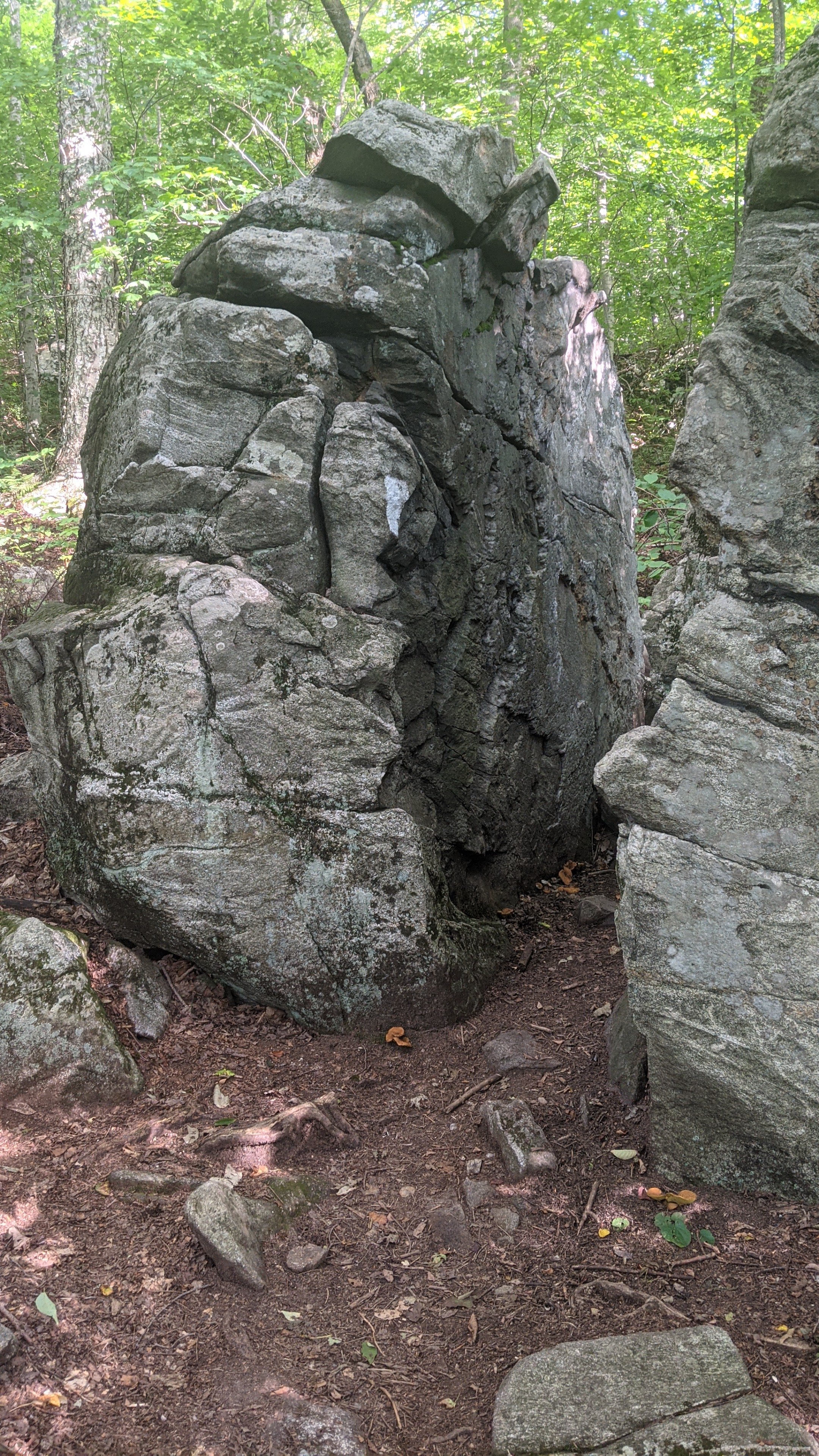
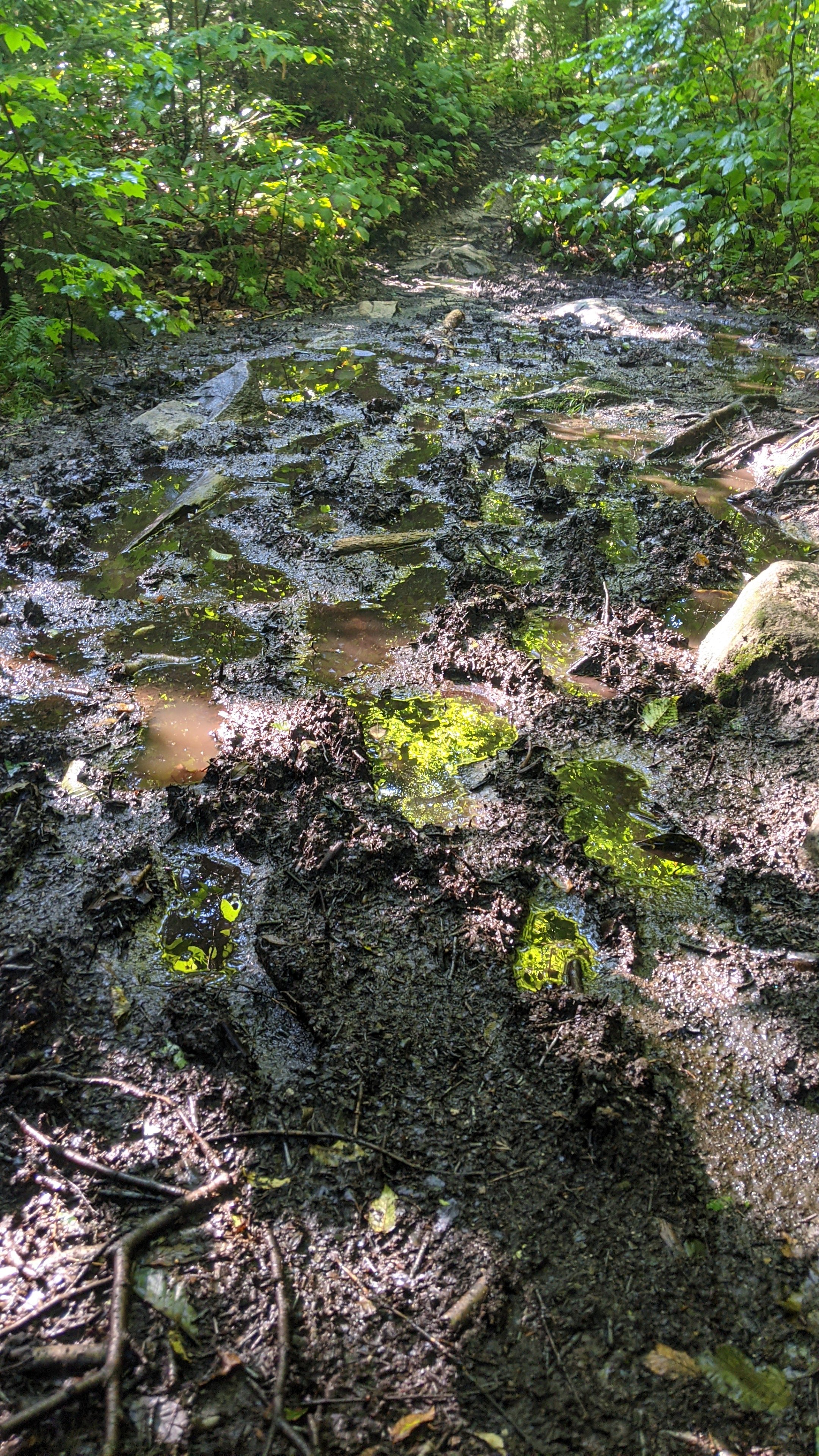
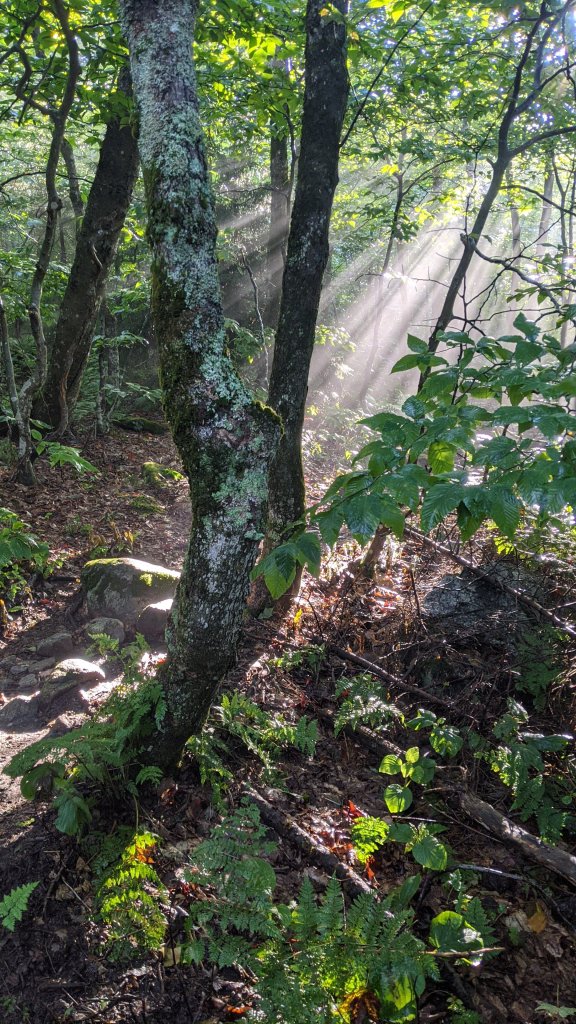
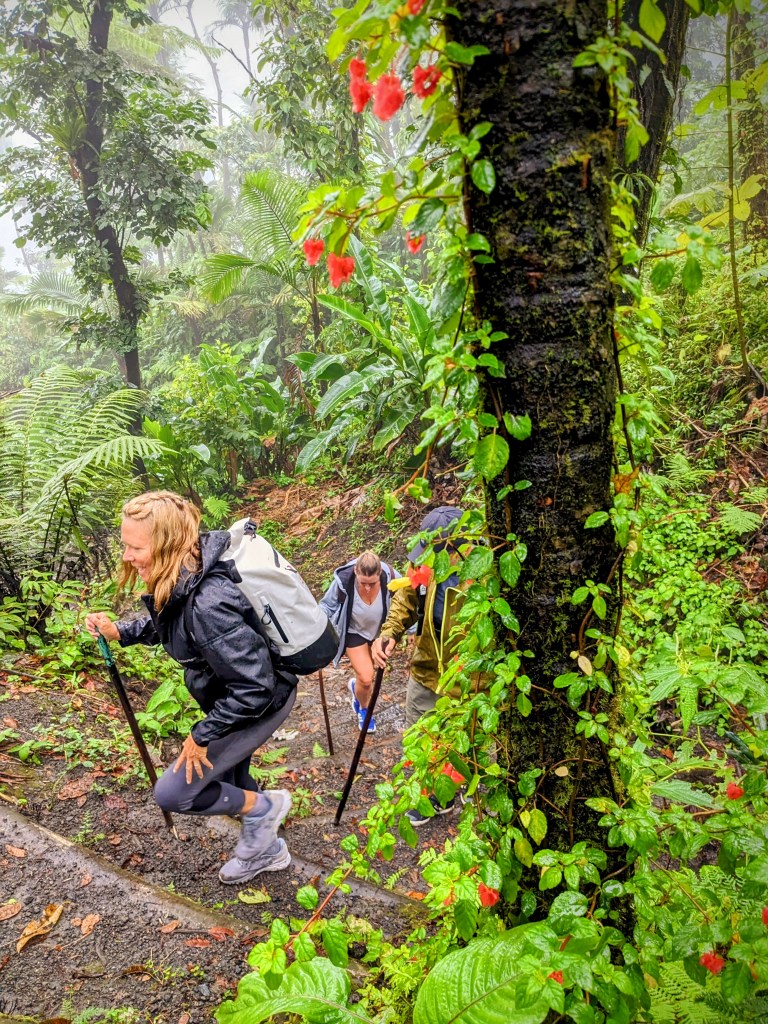
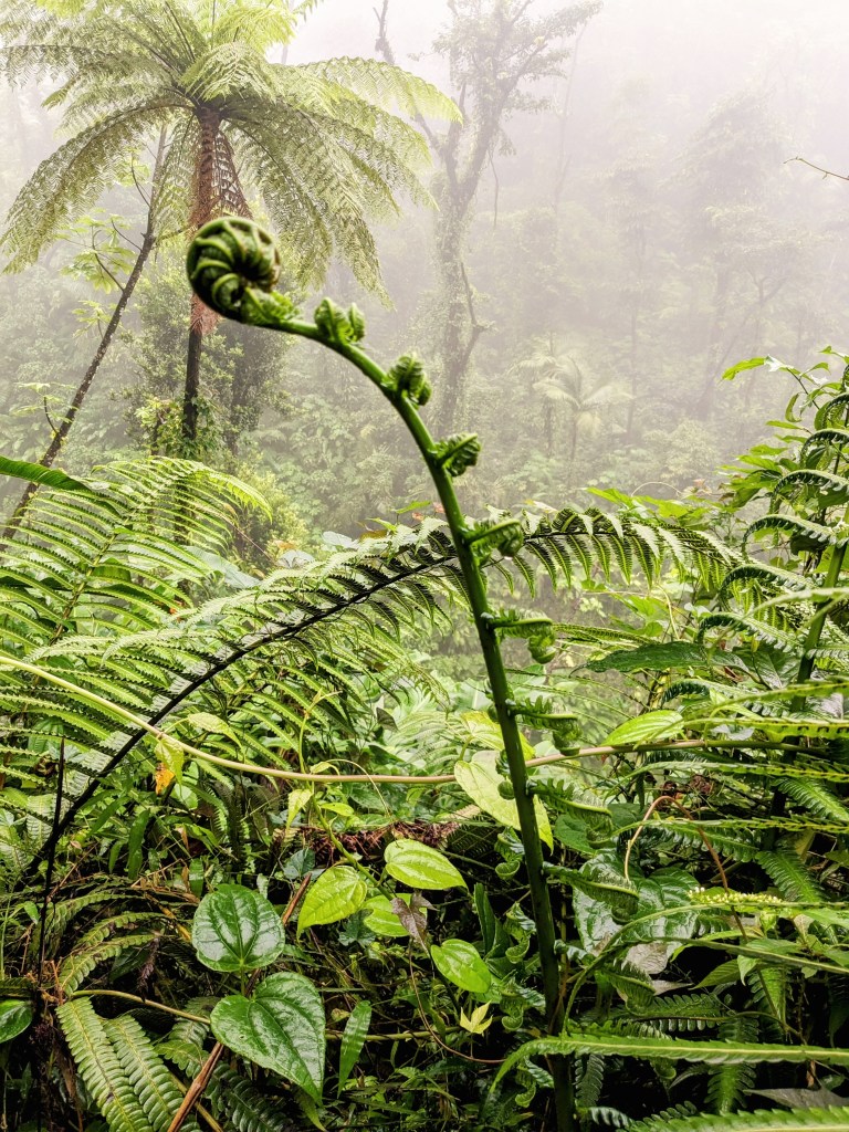
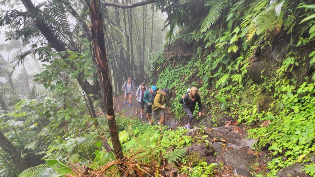
We laced up our shoes, grabbed hiking sticks, and headed out into the bush. We made it barely 50 meters up the trail before the rain started. We were smart enough to bring rain jackets but, sheesh I didn’t expect to need them so soon. Luckily, the vegetation of the rain forest protected us quite a bit, and to be honest the jungle is quite atmospheric and dramatic in the heavy fog and light rain.

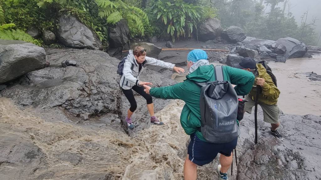
The first milestone on the climb that really proved we were walking on a volcano was crossing a riverbed of hardened lava. The lava stream was left behind by the eruption of 1979. Because of all the rain, the river was raging and full of dirt and ash, looking like a river of chocolate milk. It took a little encouragement to get me to jump across the flow!

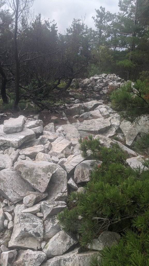
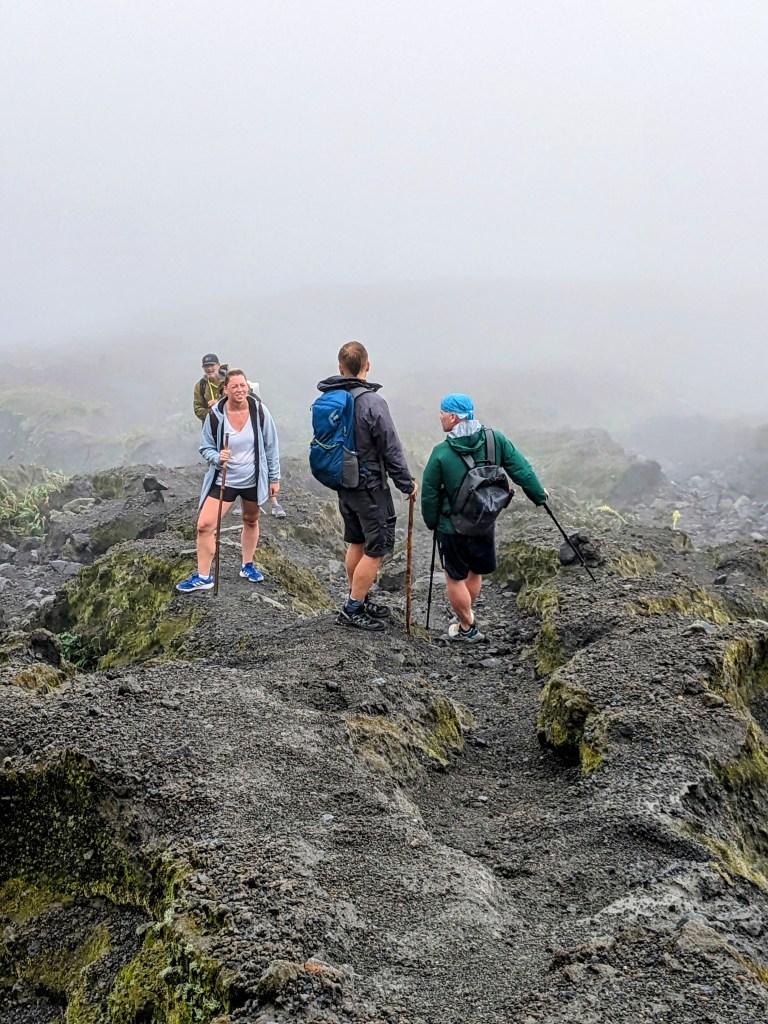
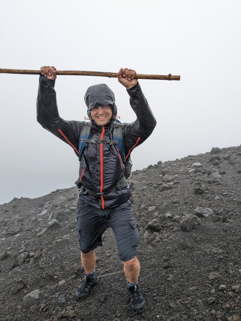
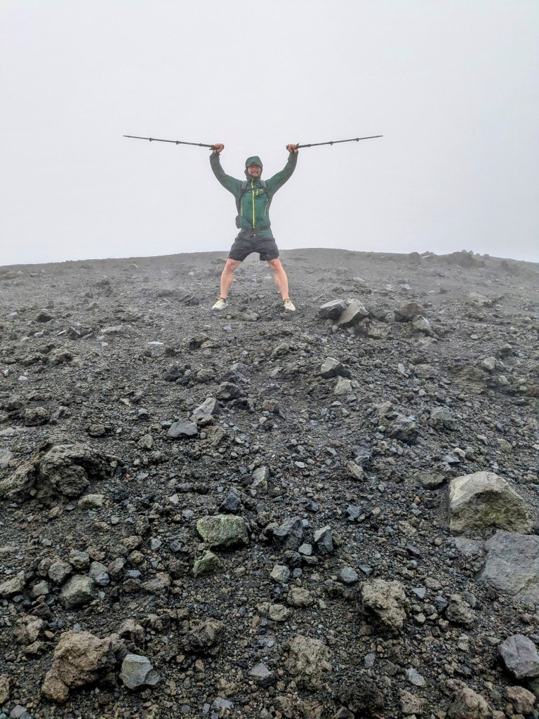
Soon enough, we climbed out of the jungle and encountered the open, gravely flank of the top of the volcano. Instead of a trail, we now followed a series of rock cairns and plastic bottles topping branches. And a trail of blown-out shoes, lol. Holy cow, the rain and wind really got serious at this point. Capt. Mike estimates the gale-force wind speeds at the top between 50 and 70 knots, using the Beaufort Scale and later Googling “How strong does wind need to be to blow a person sideways”. 😆 Yep. I’d pick up one foot to climb, and find myself blown a bit to the left, planting that foot a couple of feet further left than I had planned. I should have eaten more Christmas cookies! Did I mention the rain? By this point, the gentle rain had transformed into big powerful drops, driving sideways into us with such force, we couldn’t decide if it was pure rain or hail. I had so much water running down my face and off the tip of my nose, it was tough to tell whether it was rain, tears, or snot. But at this point, the summit was only a couple hundred meters away, so we persevered. No lingering on the summit! We snapped a couple pictures and a short video and headed down to safety and comfort.

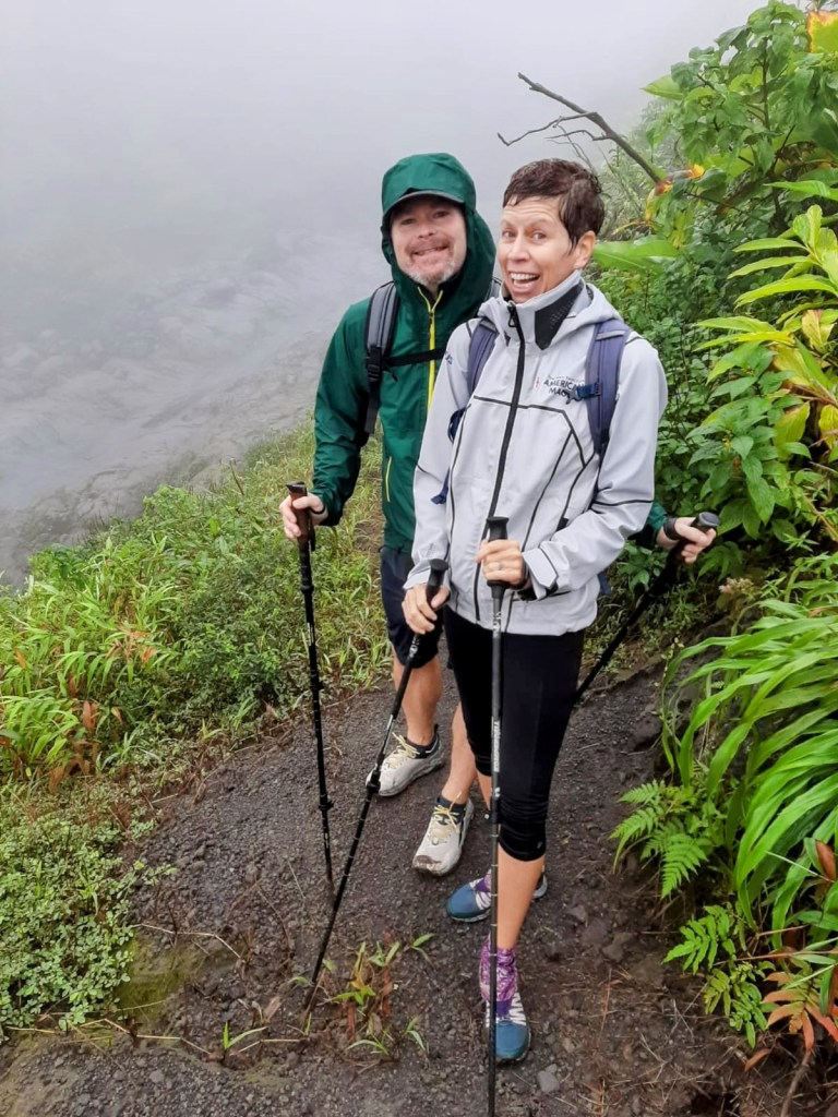
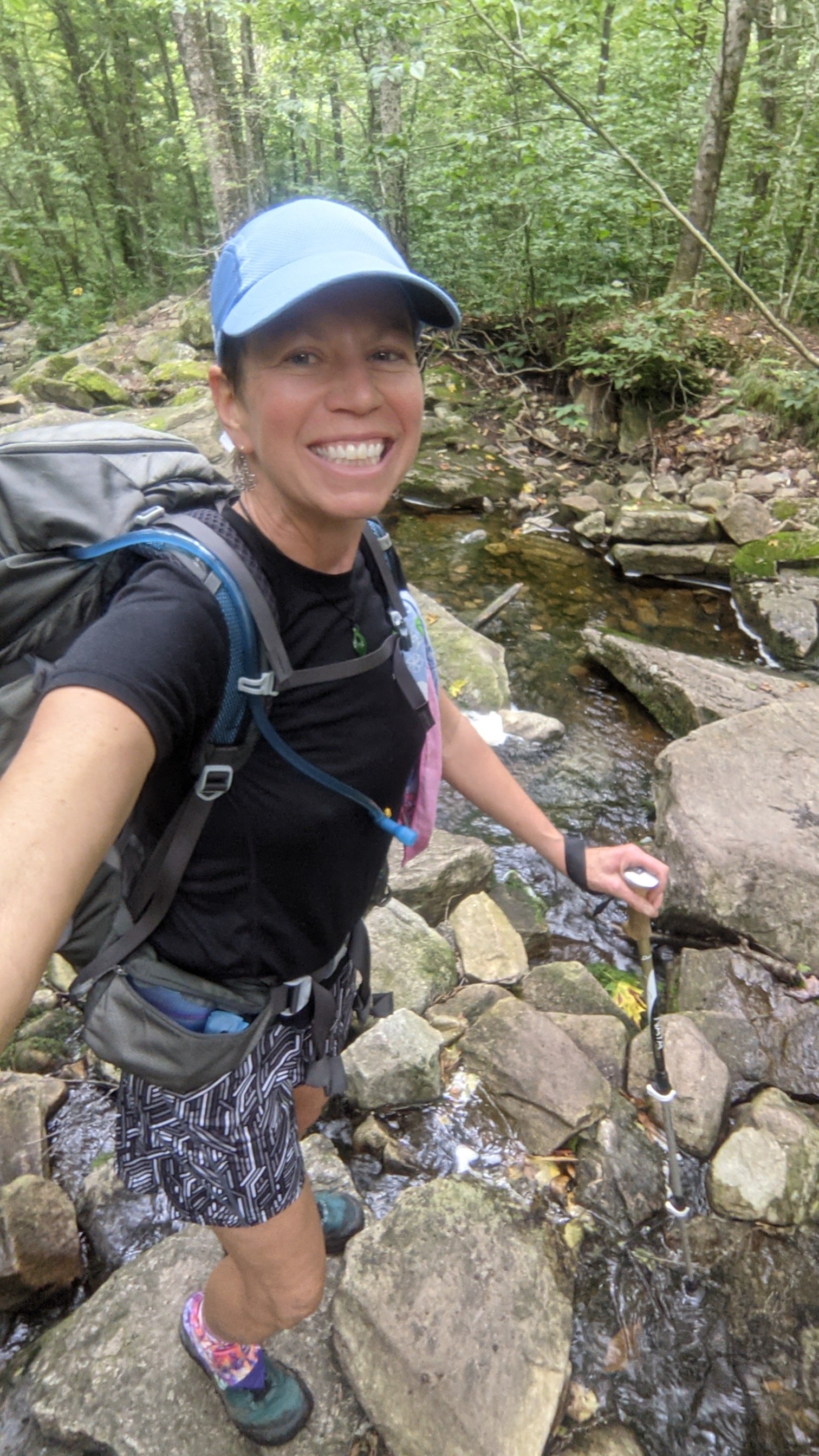
For some reason, the first little bit of downhill seemed even harder than the climb. I guess we were aiming a little straighter into the wind. And we were also trying to find the trail, instead of just talking any old route to the top. Kasia crab-walked sideways, and I was extremely grateful for two hiking poles. It wasn’t until we reached the shelter of the trees again that we could relax and stop for a quick snack and to drink some water. The rest of the trail was a walk in the park, and we found ourselves back at the van in no time. Soaked to the skin but at least it’s the tropics so we aren’t going to die of frostbite!

All in all, it was one of those “An adventure is never fun while you are having it” days, but we truly felt like we conquered the mountain. Now I’ll bet these memories of hiking La Soufrière won’t fade as quickly as those uneventful, nice weather, shorts-and-t-shirts memories from 20 years ago!

Long trail section #1: Williamstown Massachusetts to VT Route 11/30

Last Sunday, our very good friend George Thompson drove us over three hours from his home in Underhill, VT to a Howard Johnson in Williamstown. I gotta tell you, it’s a very strange feeling to see that car drive away and be left in a strange town, wearing one set of inappropriatly casual clothes, with a small pile of “stuff” and to be left on our own!

Day 1- Mon 8/30 Williamstown to Seth Warner Shelter

2.8 miles (+6 extra miles) After breakfast at the Moonlight Diner, we walk two miles through Williamstown and North Adams to get to the Appalachian Trail (the At and the LT are the same trail for about 110 miles) Then we hike an uphill 6 miles to finally arrive at the Vermont line, and the official start of the Long Trail! I’ve got the First Day Blues (sore toe, bad knee, heavy pack, mud, slow going). It’s very humid today – clothes soaked through and sweat dropping. Rain started AFTER we arrived at shelter, Yay! Usually we’re not so lucky. Stayed in the shelter with a couple from St Pete doing AT, with trail names Shortcut and Adams.

Day 2  -Tuesday 8/31: Melville Shelter

13.3 miles, 19,600 steps. Better mentally than yesterday, but harder! Didn’t get started until 8:40 and hiked almost until 6pm. Nice view of Bennington, then steep, rocky downhill to Rt 9. Steep climb back up to the shelter. Last 3 miles were TOUGH. Shared a shelter with bunk beds with Backwoods

Day 3: Wednesday 9/1 -Kid Gore Shelter, 12.8 miles, 32838 steps

My Bad Big Toe Joe

I’ve named my broken/healing big left toe Joe. Joe the Toe. (My right big toe is quieter and much less needy. He doesn’t have a name)

Joe didn’t hurt quite as much today as he did the previous two days, and I’m not sure why…
– Maybe because today’s hike was a bit easier and my pack a little bit lighter?
– Maybe the Mobic medicine is finally kicking in?
– Maybe backpacking is actually good physical therapy – who knew?
– Maybe taking all these steps every day is deadening the nerves that carry pain messages from my toe to my brain?
Who cares, I’ll take it!

Joe is slowing me down though. I’ve noticed that with a bum toe, I don’t push off with my back foot and stretch out my stride as I hike. Instead, I just sort of prance along; up and down, up and down, and it’s not nearly as efficient. Also, I’m super careful where I place my foot with every step, especially on steep downs and rocky terrain. By no means do I want to risk landing Joe-first! So between the two effects, I’m literally the slowest north-bound Long Trail hiker this year. In three days, I haven’t passed a single hiker, and I’m always the last person to arrive at the shelter. Shame on you, Joe!

(Rained from 2pm to morning with the remnants of hurricane Ida. My hiking clothes blew off the line into the mud overnight, so I started the day soaking wet.

Day 4 Thursday 9/2 – Stratton Pond Shelter 15 miles

I have no problem stomping right through any clear, clean, running water. Streams, Creeks, Rivers… I’m in! But, color it black and call it mud? Suddenly I’m a delicate sugar plum fairy, dancing from root to rock, desperate to avoid falling in and hearing that dreaded SCHALURP

Day 5: Friday 9/3 Pinnacle Lodge near Manchester Center 11 miles

I suspect that I only like backpacking for the town stops. I don’t like being cold, dirty, and wet. But…I love the way a hot shower feels after five days of being cold, dirty, and wet!
One night in a hotel to clean ourselves up and get a good night’s sleep, now it’s back out to the trail!

A nice month for a walk in the woods …

Warning – for the next three weeks, this sailing blog will be pre-empted by the trail journal of my end-to-end hike of the Long Trail in Vermont.

Instead of The Grenadines, we’ll be walking 273 miles from Williamstown, MA to the border of Canada. Instead of the gin-blue waters of the Caribbean, you’ll see the emerald greens and deep earthy browns of the Green Mountains. Instead of Jenn and Capt. Mike, we will henceforth be known as Dingle and ToeJam.

Read on if you dare… You have been warned!